Bolivia’s Yungas Road Quietly Rivals Lake Titicaca for Cloud Forest Wanderers

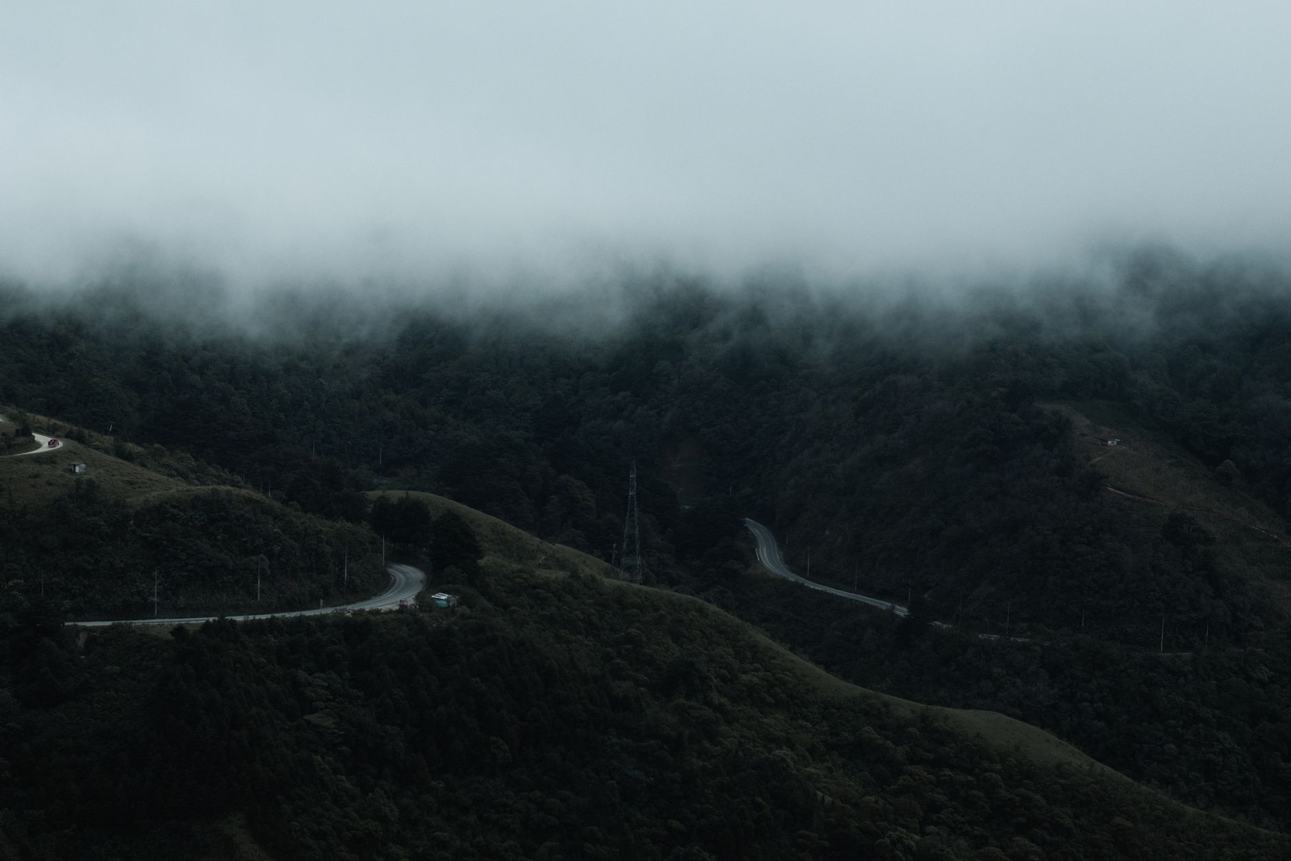
Where the Cloud Forest Swallows the Road
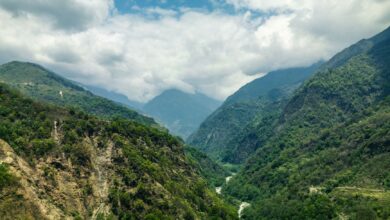
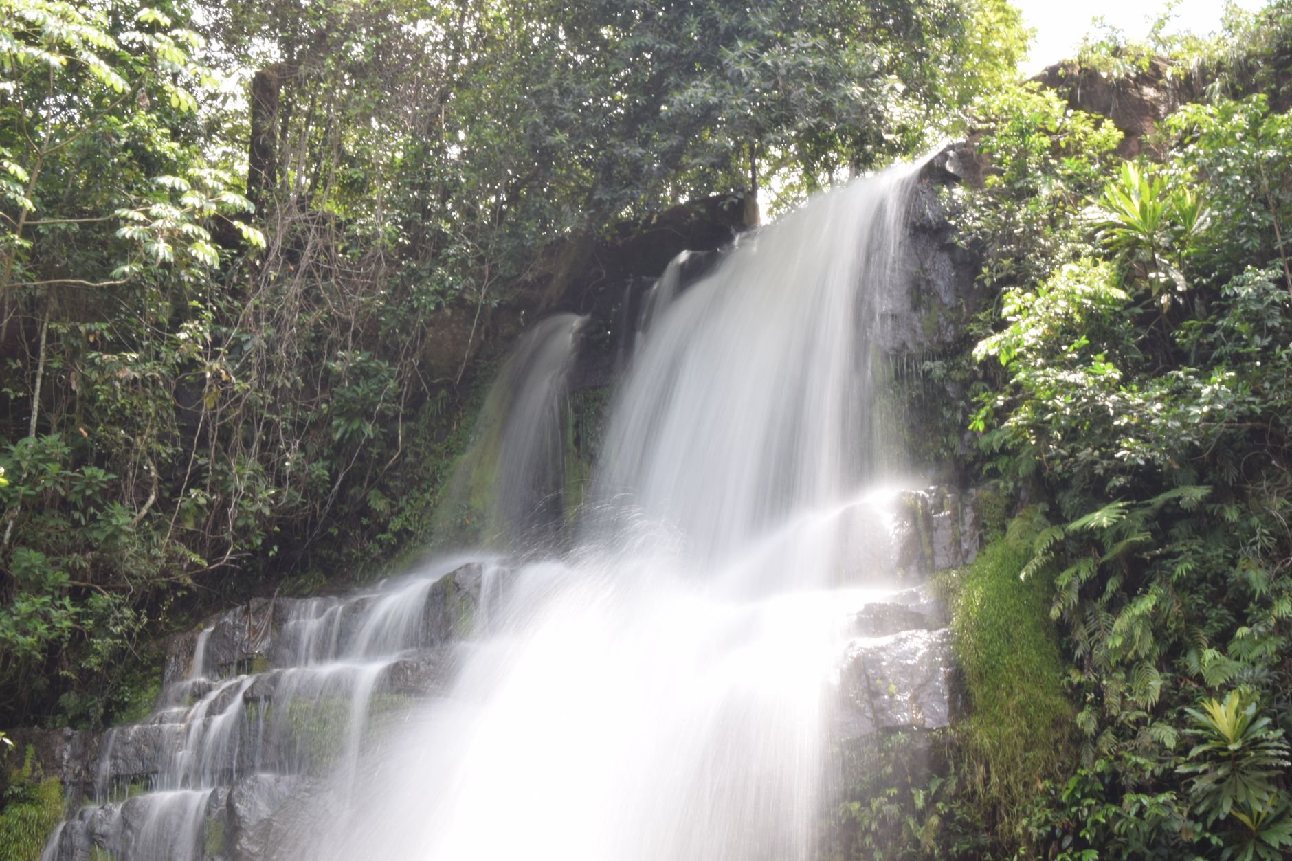
Bolivia’s Yungas Road – the route connecting La Paz to the subtropical lowlands below – has spent decades being marketed almost exclusively as the world’s most dangerous drive. That reputation, earned through sheer cliff drops and single-lane mud tracks, has long overshadowed what the corridor actually contains: some of South America’s most biodiverse cloud forest terrain, a tangle of orchids and waterfalls and mist-wrapped ridgelines that most visitors fly straight past on their way to Lake Titicaca’s shore.
The Case Against Titicaca as a Default Destination
Lake Titicaca is genuinely extraordinary. High-altitude stillness, the floating Uros reed islands, the Bolivian port town of Copacabana – it delivers on the postcard. But it also delivers on the crowds. In high season, the lakeside fills with tour groups cycling the same half-day itinerary, and the logistical corridor from La Paz to Copacabana has become one of the country’s most well-worn paths. That kind of saturation doesn’t ruin a place, but it does flatten it. What you gain in infrastructure, you lose in the feeling that you stumbled onto something.
The Yungas region operates on a different frequency entirely. It sits northeast of La Paz, descending from the altiplano’s 3,600-meter edge down through cloud forest to valleys sitting somewhere around 1,500 meters. The drop in elevation over a relatively short distance creates a stacking of distinct ecosystems – you pass through puna grassland, then polylepis woodland, then dense humid forest – in a matter of hours. That ecological compression is rare anywhere on earth.
What draws cloud forest wanderers specifically isn’t adrenaline. It’s the persistent mist, the sensation that the landscape is always slightly concealed, revealing itself in patches. The Yungas does this constantly. Roads disappear around forested bends. Waterfalls appear and vanish. The town of Coroico, the most accessible base in the upper Yungas, sits on a ridge that gives views across forest canopy in three directions when the clouds thin – and those clouds rarely thin completely, which is partly the point.
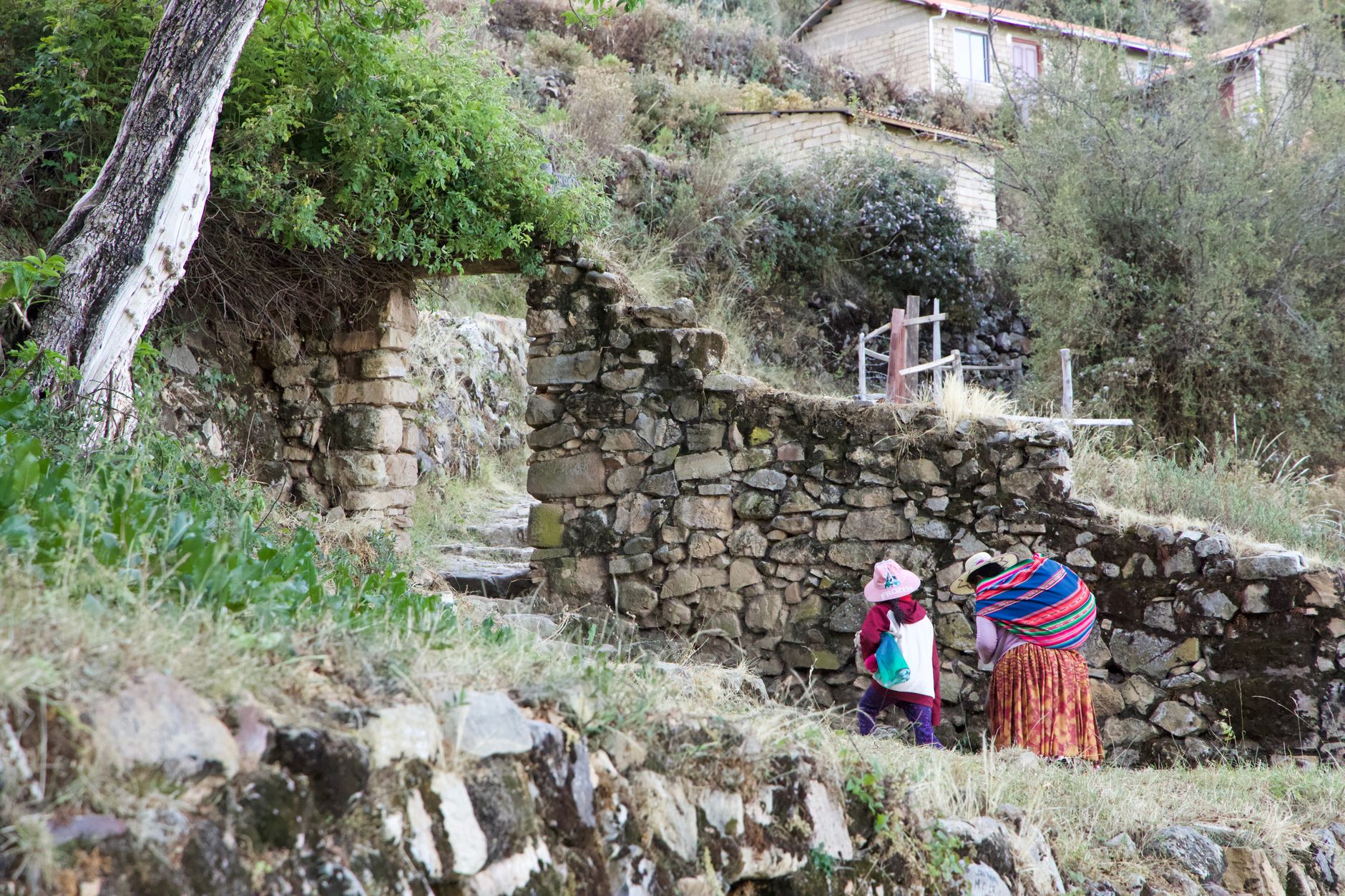
The region also holds a depth of cultural history that rarely makes it into short-form travel content. The Yungas was the historic coca-growing heartland of Bolivia, farmed by Aymara communities for centuries before European contact and intensively cultivated afterward. African Bolivians – descendants of enslaved people brought to work colonial-era silver mines – established communities in the Yungas lowlands that persist today, centered around towns like Chijchipa and Tocaña. This layering of Aymara, Afro-Bolivian, and mestizo culture along a single road corridor gives the region a social texture that purely scenic destinations rarely carry.
Navigating the Yungas Without the Death Road Framing
The “Death Road” label – applied to the old North Yungas Road that drops from La Cumbre pass to Coroico – has become a marketing machine unto itself. Dozens of agencies in La Paz now run downhill mountain biking tours on the route, and on any given dry-season morning the old road fills with cyclists in matching safety vests. This is not inherently a problem. The biking experience is genuinely dramatic, and the road itself, now largely bypassed by a newer paved highway, is as spectacular as advertised.
The issue is what that framing excludes. Travelers who arrive looking for danger and a bike tour often leave without spending a night in the region, without walking the forest trails above Coroico, without taking the lower road toward Caranavi where the valley opens up and the coca fields terrace the hillsides in long green rows. The Death Road has become a single-day excursion destination when the Yungas genuinely rewards multi-day exploration.
For those willing to stay overnight, Coroico is the obvious base – a small town of roughly 2,500 residents that maintains a handful of guesthouses and a central plaza that empties out completely after the day-trip cyclists leave in the afternoon. The quiet that settles over the town by evening is its own draw. From Coroico, trails lead into cloud forest that hasn’t been managed or branded in any particular way. You find them by asking at guesthouses or following the paths that local farmers use between terraced plots.
The South Yungas is considerably less visited than the north and requires more logistical effort – additional driving or bus connections from La Paz via a different route through Chulumani, the regional capital. The payoff is proportional. The South Yungas holds the highest concentration of Afro-Bolivian communities and some of the most intact lower montane forest in the country. The infrastructure is thin, the Spanish required is real, and the reward is a version of Bolivia that even experienced South America travelers rarely encounter.
Birdwatchers have been aware of the Yungas for years – the corridor sits within one of the continent’s most significant endemic bird areas, and species lists for the region run into the hundreds. But birding tourism hasn’t yet generated the kind of lodge infrastructure that comparable zones in Peru or Ecuador have built. That absence keeps prices low and crowds sparse, though it also means arriving with some preparation rather than expecting organized tours.
Practical Realities and the Honest Trade-offs
The Yungas asks more of a traveler than Lake Titicaca does. Transport connections from La Paz are frequent but can be slow – the new paved road to Coroico takes around three hours by minibus, depending on conditions. The cloud forest climate means rain is possible year-round, and the dry season window between May and October still delivers fog and drizzle at higher elevations. Accommodation in the region ranges from basic family-run guesthouses to a small number of more comfortable eco-lodges, but nothing resembling the polished hotel options around Copacabana. Travelers who need predictability or reliable English-language support will find the Yungas genuinely challenging.
What the region cannot offer in comfort, it returns in encounter density – the number of moments per day that feel genuinely unscripted. A condor crossing a ridge at La Cumbre before the descent begins. A roadside market in Coroico selling subtropical fruit that doesn’t exist at La Paz altitude. The way a stretch of cloud forest goes completely silent except for water moving somewhere under the canopy. These are not experiences that can be guaranteed or packaged, which is precisely why the travelers who find them tend to consider the Yungas the part of Bolivia they think about longest after leaving.