Bolivia’s Yungas Road Quietly Rivals the Amazon for Cloud Forest Cyclists

Where the Road Drops Off the Edge of the World
The North Yungas Road in Bolivia does not ease you in. It begins above 4,600 meters, where the air is thin and the Andean plateau stretches flat and gray to the horizon, and then it simply falls – dropping more than 3,500 meters over roughly 60 kilometers into a corridor of cloud forest so dense and humid that sunlight arrives in patches, filtered through layers of moss, fern, and epiphyte. For cyclists willing to make the descent, what waits is not just an adrenaline run but one of the most ecologically rich mountain bike routes on the continent.
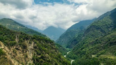
Bolivia’s Yungas region occupies a narrow band between the high Andes and the lowland Amazon basin, and that in-between geography is exactly what makes it extraordinary. The cloud forest that clings to these steep slopes exists in a permanent state of mist and moisture, creating conditions where biodiversity stacks vertically – hummingbirds at one elevation, orchids at another, and the ambient sound of waterfalls running beneath the tree canopy at every turn.
This is not a route for passive sightseeing.
The Descent That Became a Legend
The North Yungas Road earned a grim reputation during the decades when it served as a working highway connecting La Paz to the lowland towns of Coroico and beyond. Narrow, unguarded, and carved along near-vertical cliff faces, it was widely considered one of the most dangerous roads in the world for motorized traffic. The construction of a safer paved bypass in 2006 effectively retired the old road from regular vehicle use, and cycling operators recognized immediately what that meant: a rugged, largely traffic-free descent through spectacular terrain, now available to anyone with enough nerve and a decent mountain bike.
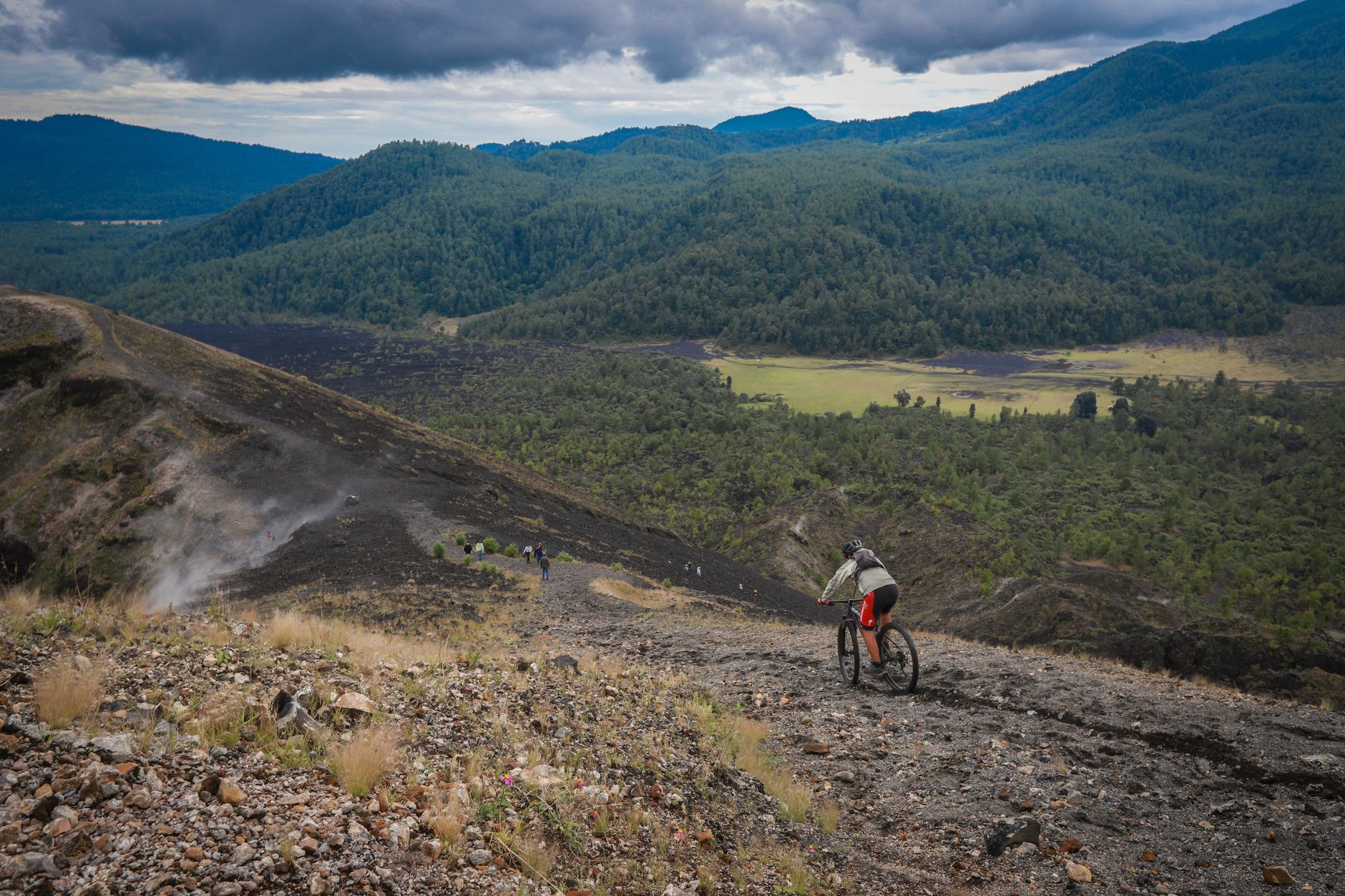
Tour operators based in La Paz began running guided descents shortly after the bypass opened, and the route’s reputation among adventure cyclists spread fast. Today, departures happen nearly every morning of the dry season, with groups ranging from seasoned mountain bikers to travelers who have never touched a downhill trail in their lives. The guided format matters here. Operators provide full-suspension bikes, helmets, gloves, and – critically – support vehicles that shadow the group and can extract anyone who takes a fall or simply loses their nerve on a stretch where one side is a cliff wall and the other is a sheer drop of several hundred meters.
The road surface itself shifts constantly: packed gravel, loose rock, muddy chutes after rainfall, and sections where waterfalls cascade directly across the path. Riders get wet. That is not a warning so much as a guarantee. By the time the trail levels out near Coroico, most cyclists are soaked, muddy, and grinning in a way that takes some time to explain to people who stayed behind in La Paz.
Beyond the Adrenaline: What the Cloud Forest Actually Offers
The cycling narrative dominates coverage of the Yungas Road, but it can obscure what the surrounding region provides for travelers who want something slower. Coroico, the small colonial town at the bottom of the descent, sits at around 1,700 meters and functions as a genuine base camp for exploring the cloud forest on foot. Trails around the town push into forest that receives almost no tourist traffic, where the vegetation is visually overwhelming – every surface colonized by something green, wet, and growing.
Bird diversity in the Yungas is striking enough to draw serious birders who make the region a specific destination rather than a stopover. Bolivia’s Yungas zone sits within one of the Americas’ most biodiverse corridor regions, where Andean species and Amazonian species overlap at middle elevations. The result is a checklist that genuinely surprises people who assumed the Amazon basin to the north held a monopoly on wildlife density. South American travel more broadly rewards this kind of lateral thinking – Argentina’s Ibera Wetlands offer a similar lesson about overlooked ecosystems producing encounters that better-marketed destinations struggle to match.
The towns scattered through the Yungas valleys – Coroico, Coripata, Caranavi – operate largely on coca leaf agriculture and tropical fruit production rather than tourism, which keeps the atmosphere genuinely local. Accommodations range from simple guesthouses to a handful of eco-lodges positioned on ridgelines with views over forest canopy. Meals are heavy on yuca, plantain, and river fish. The pace is slow and the infrastructure is honest about its limitations, which suits the kind of traveler the Yungas actually attracts.
Logistics, Timing, and What to Expect
The dry season running from May through October offers the most reliable conditions for the descent. The road becomes significantly more technical and genuinely hazardous during the wet season, when water volumes increase and visibility drops. Guided tours typically depart from La Paz in the early morning, taking a vehicle up to the starting point at La Cumbre pass before the cycling begins. The full descent takes between four and six hours depending on fitness, stops, and how cautiously individual riders handle technical sections. Most tour packages include lunch in Coroico and a return vehicle transfer to La Paz in the late afternoon, making it a long but manageable single day from the city.
Altitude acclimatization is not optional. La Paz sits above 3,600 meters, and the starting point of the descent is roughly a thousand meters higher than that. Travelers arriving from sea level who attempt the ride within their first day or two in Bolivia regularly regret it. Most guides recommend at least two full days in La Paz before taking on the Cumbre-to-Coroico route. Beyond fitness, the main gear requirement is layering – temperatures at the top hover near freezing, and by the bottom of the descent riders are in humid subtropical conditions requiring short sleeves.
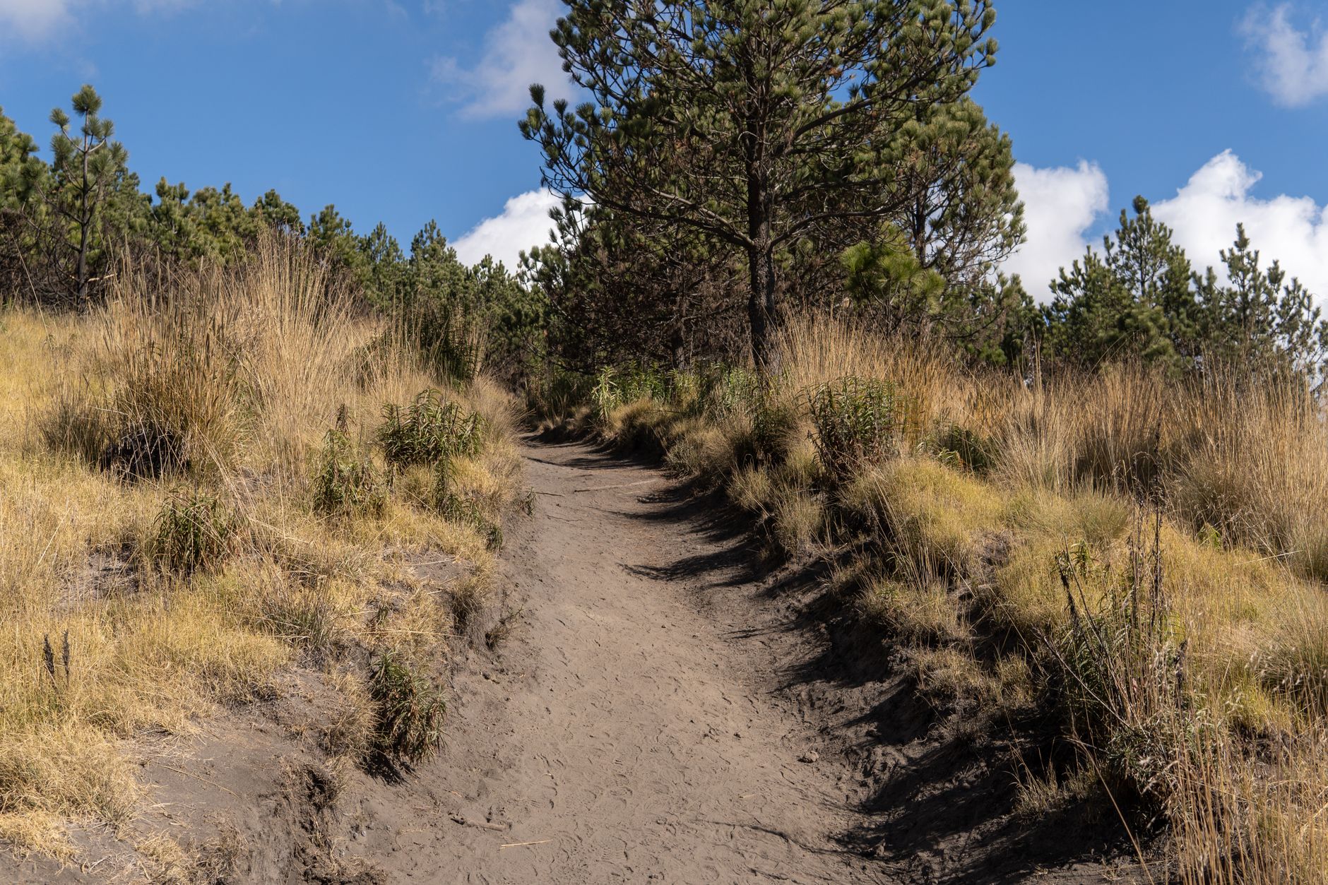
What the Yungas Road offers that pure Amazon itineraries rarely can is the compression of vertical ecosystems into a single kinetic experience – the sense of moving through altitude bands that would take weeks to traverse on foot, watching the vegetation transform in real time from high-altitude scrub to cloud forest understory to something that begins to feel genuinely tropical, all while keeping both hands on the handlebars and both eyes on the road edge. That compression is the experience. The Amazon gets the headlines, but the descent into the Yungas delivers the feeling of falling into a living world.
Frequently Asked Questions
Is the North Yungas Road safe for cyclists?
With a reputable guided tour, full-suspension bikes, and support vehicles, most riders complete the descent safely. The dry season from May to October offers the best conditions.
How long does it take to cycle the Yungas Road?
The descent from La Cumbre to Coroico typically takes four to six hours, depending on fitness level and how often groups stop along the route.