Ecuador’s Quilotoa Loop Quietly Rivals the Inca Trail for Crater Wanderers

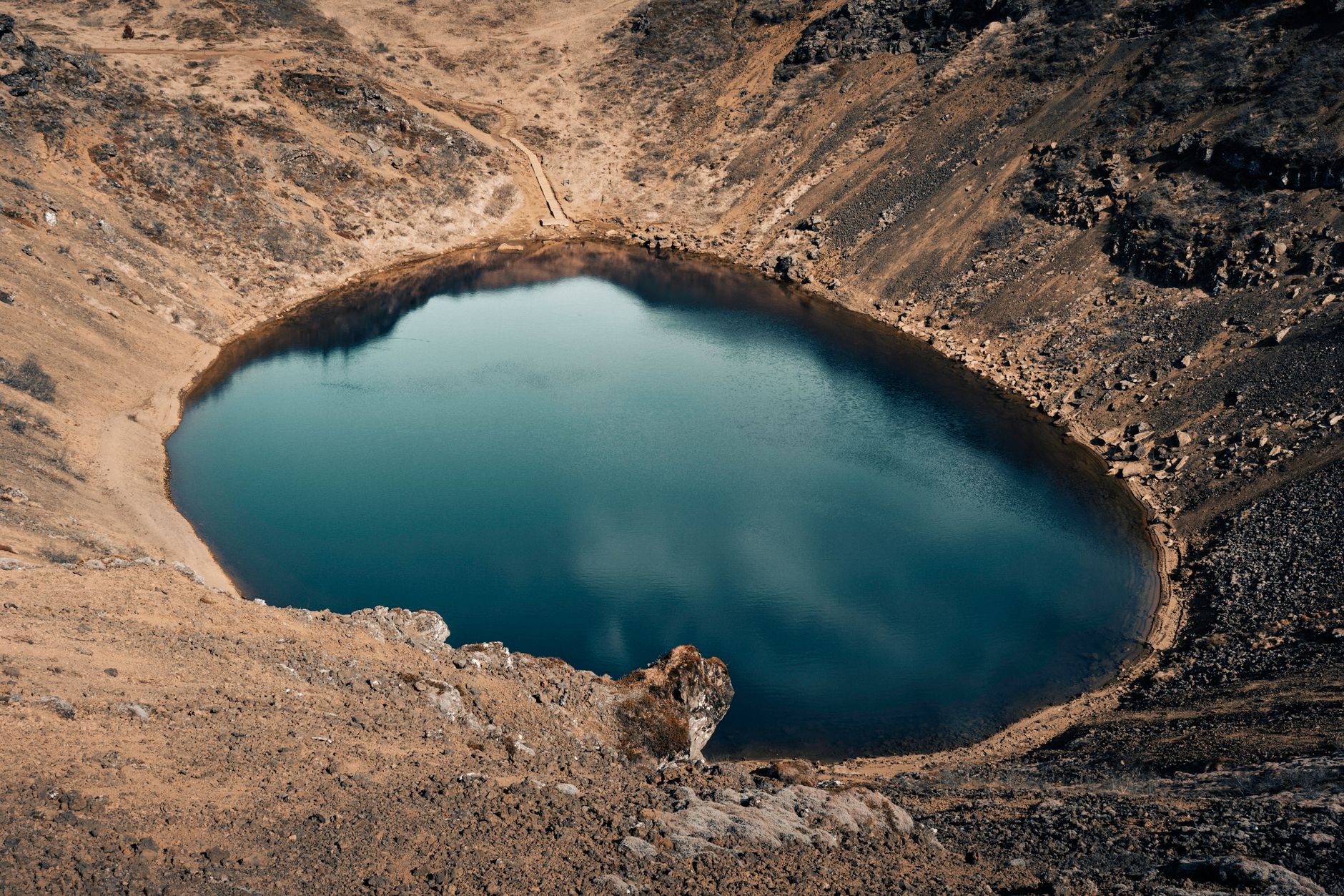
A Crater Lake That Demands to Be Walked Around
The Quilotoa Loop in central Ecuador runs through a stretch of Andean highlands that most international travelers fly over on their way to the Galapagos. That oversight is, depending on how you look at it, either a loss for those travelers or a quiet gift for the ones who do show up. The loop circles a volcanic crater lake – Quilotoa itself – whose water sits at an elevation above 3,800 meters and shifts color through turquoise, jade, and grey depending on the light and the angle of the sun. The hike connecting the surrounding indigenous villages takes between three and five days to complete, and it requires no special permit, no advance booking, and no guided tour group if you prefer solitude.
Peru’s Inca Trail has dominated South American trekking conversations for decades, and fairly so – the ruins, the cloud forest descent into Machu Picchu, the cultural weight of the route justify the attention. But the Inca Trail now requires permits purchased months in advance, enforces strict daily quotas, and routes hikers alongside a steady stream of other permit holders. Ecuador’s Quilotoa Loop operates on a different logic entirely: you arrive, you walk, and the Andes receive you with almost no bureaucratic friction between you and the terrain.
What the Loop Actually Covers
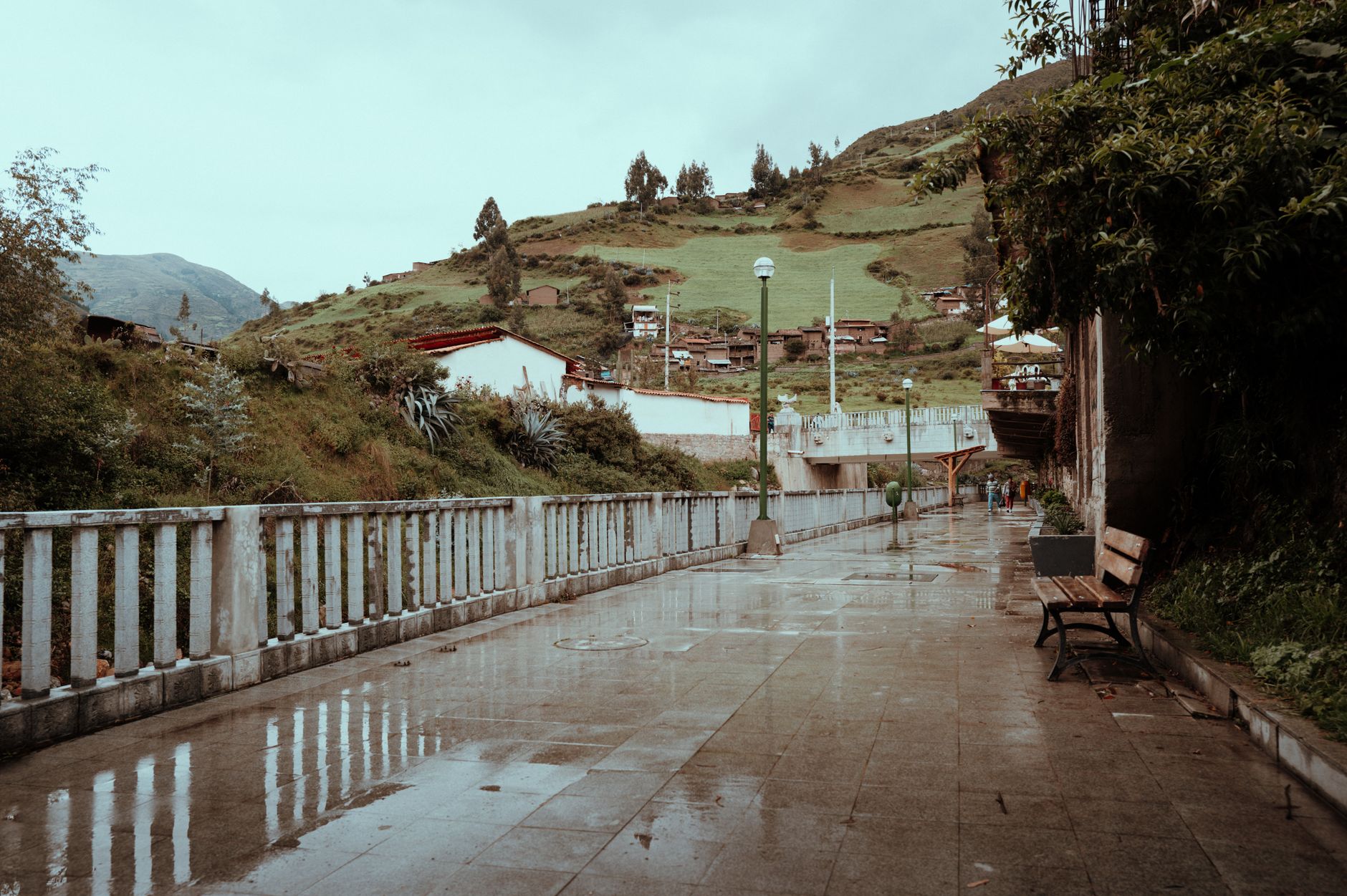
The classic route runs through several villages including Sigchos, Isinlivi, Chugchilan, and Quilotoa, connected by dirt paths, steep ravines, and high-altitude grasslands called paramos. The distances between villages are manageable – typically six to nine hours of walking per day – but the altitude and the terrain keep the experience firmly in the category of serious trekking rather than a casual countryside stroll. Elevation gains and drops are constant, and the canyon section near Toachi River involves a descent and re-ascent that will test anyone underestimating the loop’s difficulty.
Accommodation along the route runs from bare-bones community hostels charging a few dollars per night to family-run lodges where dinner is included and the blankets are thick enough for the Andean cold. The food leans heavily on local staples – potato soup, quinoa, roasted corn – which is both practical and genuinely good. The economic structure of the loop means that your spending goes directly into the villages you pass through, most of which are home to Kichwa-speaking indigenous communities whose farming practices and textile traditions remain intact and visible from the trail.
Walking the loop in either direction is viable, though most trekkers move from Sigchos toward Quilotoa, ending at the crater rather than starting there. The logic is partly psychological: saving the volcanic lake for the final day gives the route a clear destination, a reward that sits at the literal edge of something formed by forces that have nothing to do with tourism or trail design. Standing at the crater rim after four days of walking through Andean villages feels earned in a way that a quick day trip to Quilotoa by road does not.
The Permit-Free Reality
No quota system governs the Quilotoa Loop. There is no ranger checkpoint requiring documentation, no lottery for access, and no date-specific permit tied to a purchased slot. This makes spontaneous travel genuinely possible – a flexibility that has largely disappeared from South America’s most famous trekking routes.
That accessibility also means the trail infrastructure is simpler and less managed than what hikers find on the Inca Trail or even on Ecuador’s own Cotopaxi approaches. Signage exists but is inconsistent. Trail conditions after heavy rain can become slick and route-finding occasionally requires asking locals for confirmation at junctions. These are not serious obstacles for experienced trekkers, but they do require a different mindset than following a well-regulated path with consistent waymarking.
The Crater Itself – and Why It Justifies the Journey
Quilotoa lake formed roughly 600 years ago when a volcanic eruption collapsed the summit of the volcano and left behind a caldera now filled with mineral-rich water. The hike around the crater rim takes three to four hours and offers a full circuit above the water, with views that change character at every turn. Early morning visits tend to produce the clearest visibility, with the surrounding volcano slopes and distant Andean peaks emerging through cloud layers that burn off as the sun rises. By midday the wind picks up and the lake surface shifts from mirror-flat to choppy and dark.
The descent to the lake itself is a separate option – roughly an hour down a steep path and significantly longer coming back up, with mule transport available for travelers who misjudge their legs on the return. Kayaks can be rented at the water’s edge, which sounds implausible at 3,900 meters above sea level and looks even more implausible when you are actually sitting in one, paddling across a volcanic crater in the middle of the Ecuadorian Andes.
What separates the Quilotoa experience from other spectacular crater lakes worldwide is the combination of access and surrounding cultural context. The lake is not a standalone attraction reached by a single road and visited in isolation. It sits at the end of a multi-day walk that passes through living communities, active agricultural land, and a social landscape that has been shaped by this particular stretch of highland for centuries. The crater is the visual climax, but the walk is the actual experience.
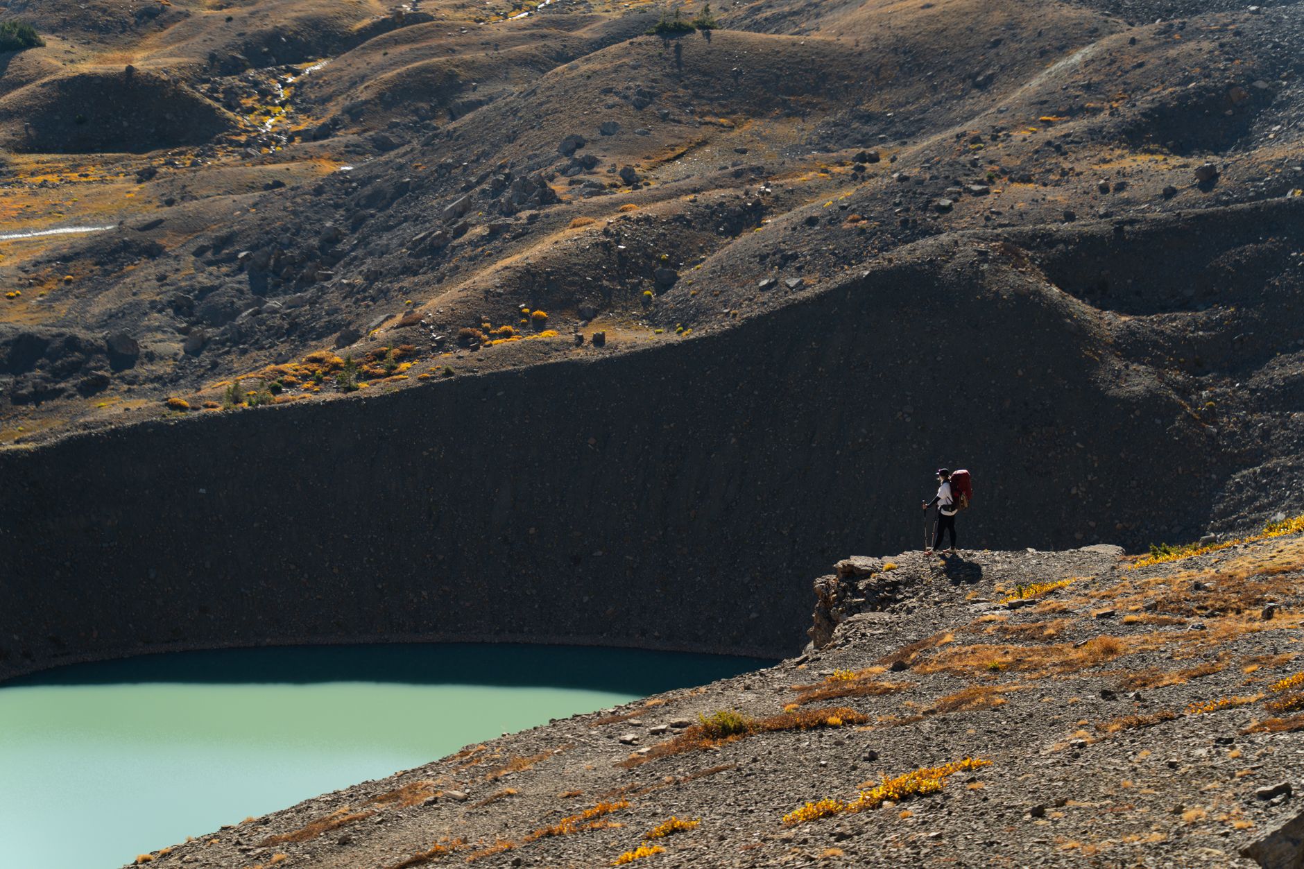
For hikers drawn to lesser-known alternatives to marquee routes – the kind of traveler who values the ratio of effort to solitude – the Quilotoa Loop presents an honest case. The Inca Trail offers irreplaceable ruins and a density of historical meaning that no other route quite replicates. But it also delivers that experience surrounded by a managed crowd, bracketed by permits and quotas and the infrastructure required to absorb thousands of visitors annually. The Quilotoa Loop, carrying a fraction of that traffic, still leaves room for an afternoon on the trail where you encounter no one at all except a farmer moving cattle between pastures. That particular silence is getting harder to find, and Ecuador has not yet closed it off behind an application process.