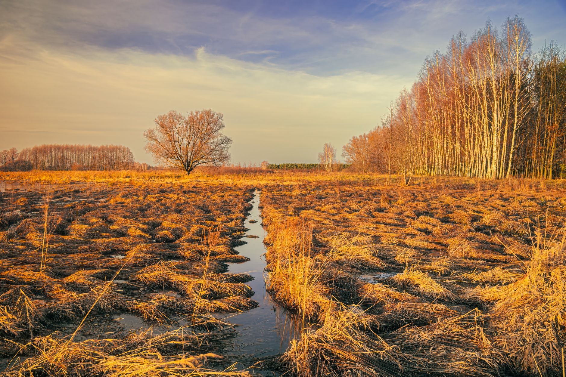

Where Civilization Began, and Where Almost No One Goes
The rose-red city of Petra draws millions of visitors a year, its carved sandstone facades splashed across every travel bucket list and adventure itinerary since the 1980s. But roughly 1,200 miles to the east, in southern Iraq, a landscape that may have inspired the Garden of Eden sits largely undisturbed – accessible, stunning, and almost entirely off the tourist map. The Mesopotamian Marshes, a vast wetland system spreading across the junction of the Tigris and Euphrates rivers, carry the kind of historical weight that Petra can only gesture toward. This is where writing was invented, where the first cities rose from mud and reed, and where a living culture has persisted largely unchanged for millennia.
That Iraq remains absent from mainstream travel itineraries is understandable given recent history. But the southern marshes sit far from the conflict zones that defined the country’s last two decades, and a quiet opening has been underway for several years. The Iraqi government now issues tourist visas with relative ease, and small-group tour operators running curated expeditions into the region have reported growing interest from travelers who have already done Jordan, Egypt, and Iran. For a certain kind of traveler – the one who arrives before the crowd – the marshes are a serious proposition.
A Landscape That Rewrote Itself
The marshes were nearly destroyed. Between 1991 and 2003, Saddam Hussein drained roughly 90 percent of the wetlands through a system of dikes and canals, turning the region into a cracked salt flat. The official justification shifted over time, but the practical effect was the displacement of the Marsh Arabs – the Ma’dan people – who had built their lives on floating reed islands for at least 5,000 years. It was one of the largest deliberate environmental destructions of the 20th century, and it happened with almost no international attention.
After 2003, the dikes were breached and water returned. Recovery has been neither linear nor complete – drought cycles, upstream dam construction in Turkey and Iran, and saltwater intrusion from the Persian Gulf continue to stress the system. But large sections of the marshes came back, and with them came the birds. The region now sits on one of the most active migratory flyways in the world, connecting breeding grounds in Siberia and Central Asia with wintering areas in East Africa. Birders who have made the journey describe seeing species counts in a single morning that would take a week to accumulate in more accessible wetlands.
UNESCO added the Mesopotamian Marshes to the World Heritage List in 2016, grouping them with five archaeological sites in the same region, including the ancient city of Ur, where the biblical patriarch Abraham is said to have been born. The designation covers both the cultural and natural significance of the area – a rare dual recognition that acknowledges what travelers on the ground can observe directly: this is a place where history and living ecology occupy exactly the same space.
Life on the Water
The Ma’dan people who returned after the drainage built their mudhifs – the great arched reed guesthouses that appear in Sumerian carvings from 5,000 years ago – in essentially the same way their ancestors did. No nails, no concrete, no foreign material. The construction technique itself is a form of cultural continuity so long and unbroken that it makes most heritage tourism feel hollow by comparison. Visiting a mudhif, sitting inside its cathedral-like interior as light filters through woven reeds, produces a specific kind of disorientation – the sense that the gap between the present and the ancient world has closed to something very narrow.
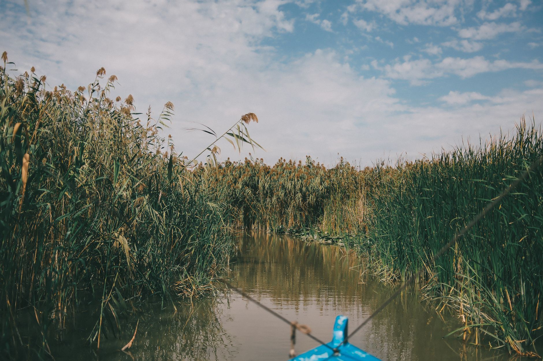
Getting into the marshes requires a boat. Narrow wooden vessels called taradas, some still made by craftsmen using traditional methods, move through channels where the papyrus reeds rise eight feet on either side. Buffalo swim between islands. Egrets stand motionless in the shallows. The visual grammar of the place is so removed from anything in the conventional travel circuit that photographs rarely communicate it accurately – the scale, the silence, and the particular quality of late-afternoon light on open water in a flat, reed-fringed landscape require presence to register.
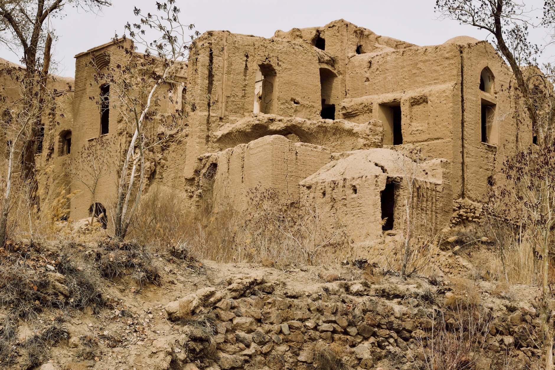
The nearest gateway city is Basra, Iraq’s second-largest city and its main port, which connects to the marshes via road and then boat. Basra itself carries the marks of the country’s recent history, but it also has functioning hotels, a decent food culture built around river fish, and a population accustomed to foreign visitors arriving for the marshes. The infrastructure is basic rather than absent – a distinction that matters for trip planning. Electricity can be inconsistent, the roads to the marsh edge are uneven, and logistics require working with local guides who know the water routes. None of that is unusual for serious off-the-beaten-path travel; it’s the same calculus that applies to remote corners of Ethiopia or Bolivia.
What separates the Mesopotamian Marshes from other difficult-to-reach destinations is the depth of the historical layering. Ur is less than two hours from the marsh edge. The ziggurat at Ur – a stepped pyramid built around 2100 BCE – still stands to a height of about 30 meters, its mud-brick core largely intact. Visitors can walk up its reconstructed stairway. There are no ticket queues. There is often no one else there at all. For travelers who have stood on the steps of Petra’s Treasury while 3,000 other tourists jostled for the same photograph, the arithmetic of that comparison tends to land hard.