
Where the Desert Rises
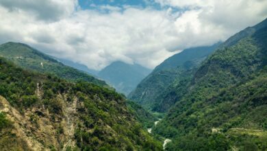
Most people picture Niger as a flat, sun-scorched expanse of sand – and for the uninitiated, that mental image stops at the Sahara. But push north from Agadez, the ancient caravan city that once anchored trans-Saharan trade routes, and the terrain does something unexpected: it climbs. The Aïr Mountains surge from the desert floor like a crumpled manuscript, all volcanic ridges, granite massifs, and hidden valleys where acacia trees cling to seasonal riverbeds. At their peak, these highlands reach over 1,900 meters, cool enough at night to require a second blanket.
The Aïr is not a secret to the Tuareg, the Berber-speaking nomadic people who have traversed this terrain for centuries. It is, for many clans, home – or at least the closest thing to a fixed point on a map that resists fixed points. What makes the range worth attention now is simpler: it offers a landscape of genuine strangeness and cultural density that few outsiders have ever stood inside, and for travelers willing to navigate Niger’s logistical complexity, the reward is a kind of solitude that most of the world’s desert destinations can no longer provide.
A Landscape That Earns Its Reputation
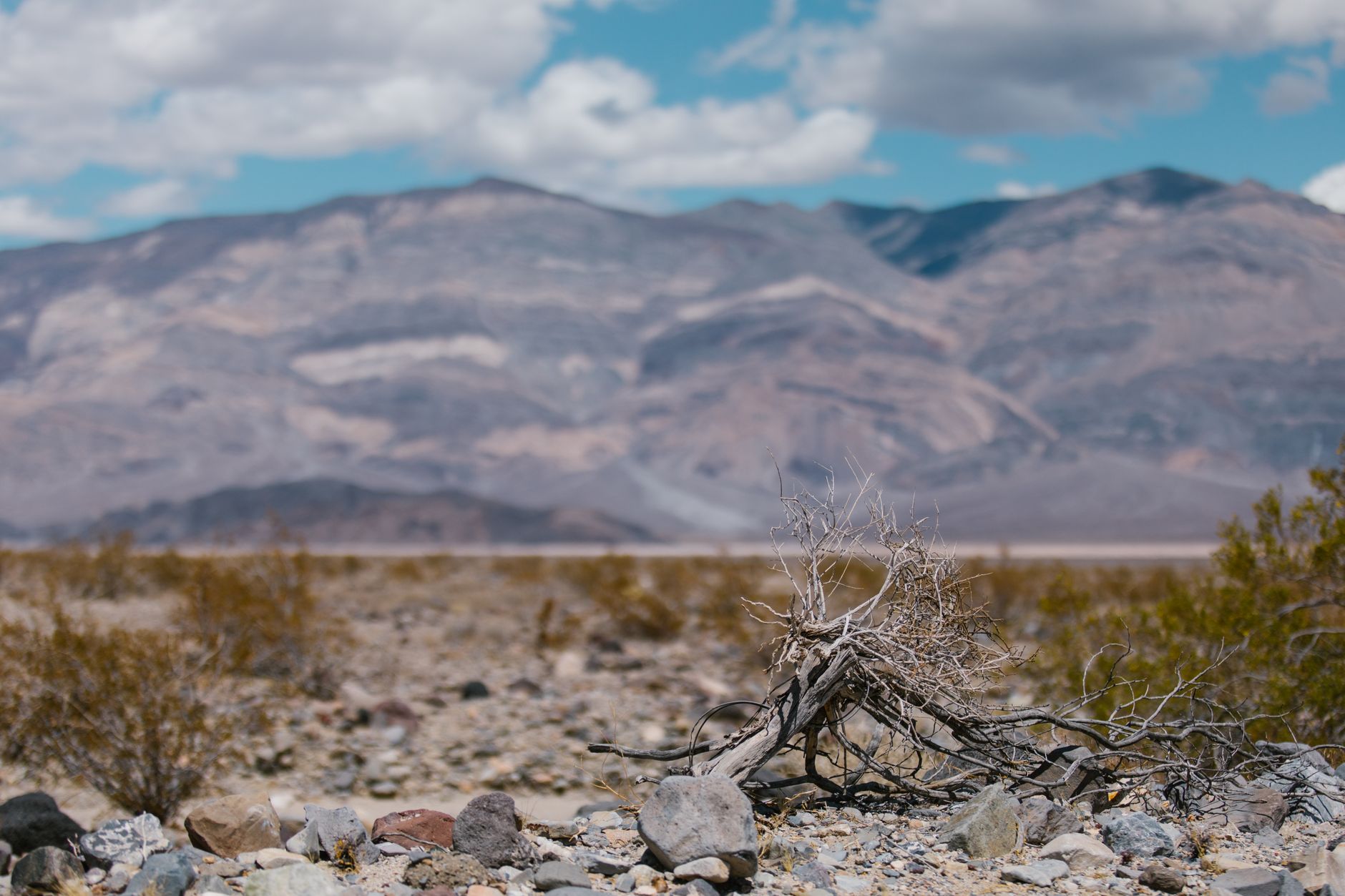
The Aïr’s geography is its first argument. Unlike the ergs – the great sand seas – that dominate popular images of the Sahara, the Aïr is a mountain desert, which means it operates by different rules. Rain arrives, sporadically, in the form of violent storms that carve ephemeral rivers called koris through the rock. These koris can run bone-dry for years before a single cloudburst fills them chest-high in an afternoon. The vegetation that follows – desert grass, wild herbs, sparse but real greenery – draws Tuareg herders with their camels and goats in patterns that have barely changed in a thousand years.
The plateau of Tafadek, the valley of Timia, the dune fields at Arbre du Ténéré – these are not places assembled for tourism. The famous Tree of Ténéré, once considered the most isolated tree on earth before it was struck by a vehicle in 1973, now exists only as a metal sculpture in the spot where the original acacia stood. That detail matters: it tells you something about the scale of the landscape, where a single tree could serve as a navigational landmark across hundreds of kilometers of open desert.
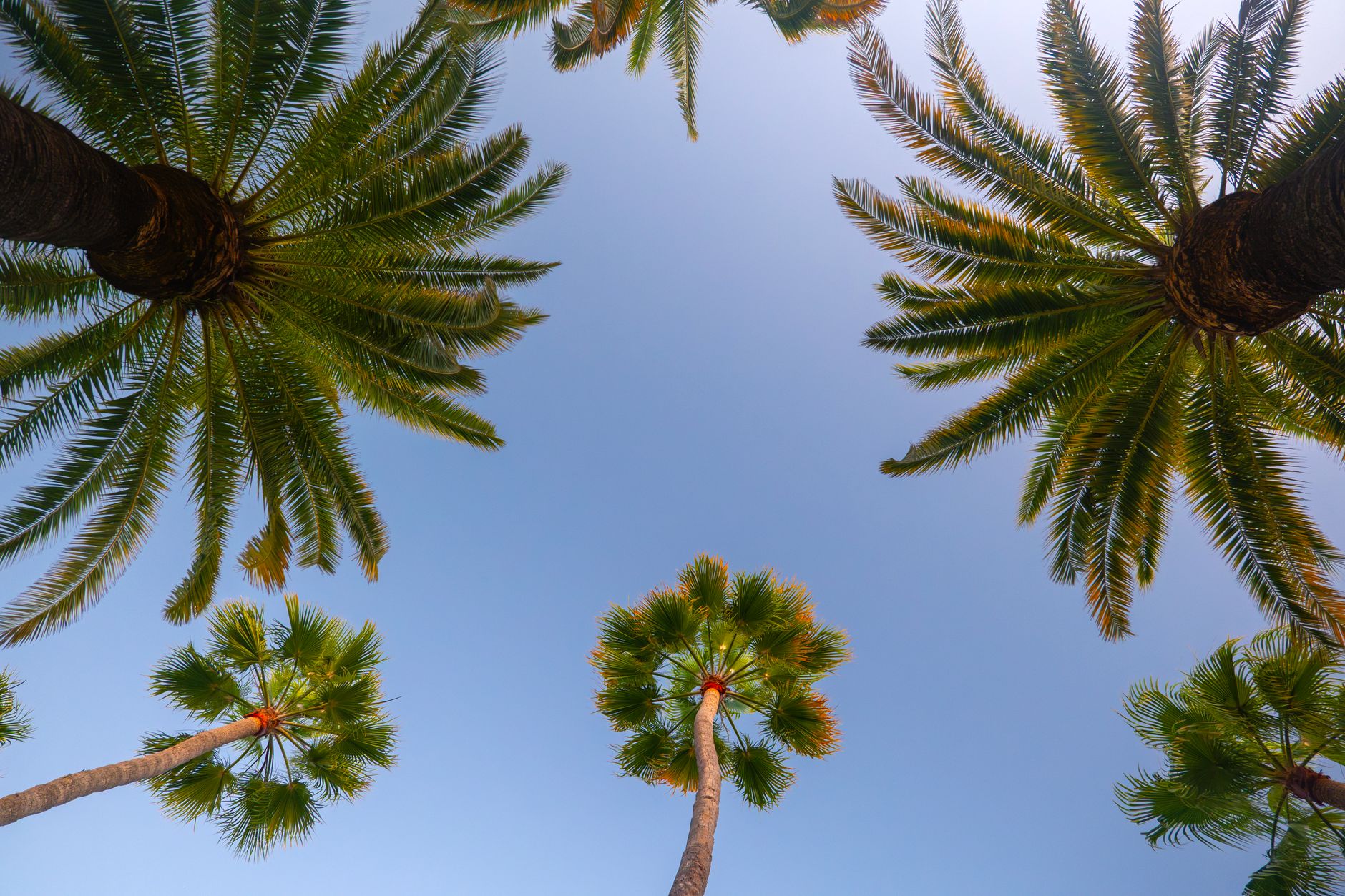
Timia itself functions as something close to an oasis town, its date palms and citrus groves fed by a permanent spring that draws Tuareg families and passing traders alike. Visitors who make it here often describe the experience of sitting in that garden, surrounded by volcanic rock and silence, as genuinely disorienting – as though the usual rules about what belongs where have been quietly suspended.
The Tuareg Factor
Any serious engagement with the Aïr is inseparable from Tuareg culture, and that culture does not reduce to a single story. The Tuareg are not a monolith – they are a collection of confederations with distinct hierarchies, dialects, and territorial ranges. The Kel Aïr, the confederation most associated with this mountain range, have historically controlled the trade routes that connected West African markets to the Mediterranean world. Silver jewelry, indigo-dyed fabric, camel leather, and rock salt all moved through these passes, and the Tuareg served as both guides and gatekeepers.
That economic role has contracted sharply, and the political instability that has periodically swept through the Sahel has complicated life for communities throughout the region. Travel advisories from multiple governments have flagged northern Niger as high-risk at various points over the past decade, and those warnings are not casual. Any traveler researching a trip to the Aïr must do serious due diligence on the current security picture – conditions shift, and what applied two years ago may not apply now in either direction.
What Draws Serious Travelers Anyway
The appeal, for those who do choose to go, is not thrill-seeking for its own sake. It is access to a form of pre-industrial landscape and social organization that has become genuinely rare. Traveling with a Tuareg guide – which is not optional in this terrain, both for safety and navigation – means spending days with someone whose reading of the land operates on an entirely different frequency than GPS coordinates. Routes are chosen by knowledge of water sources, shade, camel forage, and the social geography of which clan controls which territory.
Agadez serves as the gateway and deserves more attention than it typically receives. The city’s mud-brick mosque, built in the 15th century, rises from the urban fabric in a way that stops most first-time visitors mid-sentence. The old town, a UNESCO World Heritage Site, is a dense residential maze of earthen architecture that has been continuously inhabited and continuously maintained by the same construction techniques for generations. Spending a night in a traditional guesthouse here, before heading into the mountains, is not a warm-up act – it is its own destination.
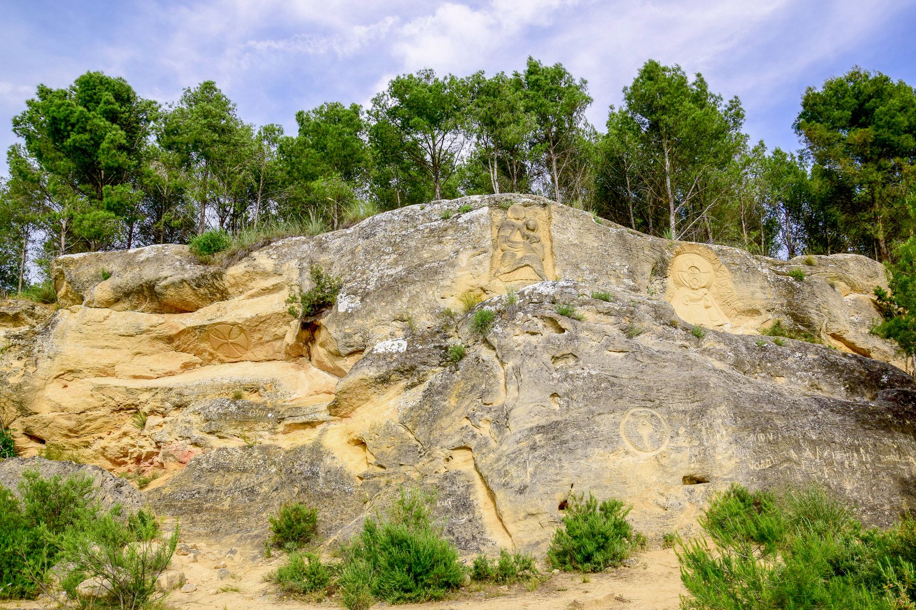
Rock art scattered throughout the Aïr adds another layer. Petroglyphs carved into sandstone and granite record a Sahara that was dramatically wetter – images of crocodiles, elephants, and giraffes engraved in rock that now sits in one of the driest environments on earth. Archaeologists have documented thousands of these sites, though most remain far from any formal infrastructure. Seeing them requires the kind of cross-country travel that puts you two or three days from the nearest paved road.
For travelers who have grown accustomed to Africa’s better-known desert circuits – Morocco’s Merzouga dunes, Namibia’s Sossusvlei, the organized camel treks of Egypt’s Western Desert – the Aïr operates at a different register entirely. There is no infrastructure built around your presence, which is either a dealbreaker or the whole point. Those drawn to off-grid high-altitude cultures with deep historical roots will recognize the texture immediately: a place where the landscape itself keeps casual tourism at bay, not by policy but by sheer impassability.
The seasonal window matters. October through February brings cooler temperatures and the most stable conditions for overland travel. Summer heat in the Aïr can push past 45 degrees Celsius in the lower valleys, and the harmattan – the dry wind that carries fine dust across the entire region – can close visibility to near zero for days at a stretch. Timing a trip for the winter months also means catching the tail end of the pastoral season, when Tuareg herders move their animals back toward the mountains from the southern pastures, and the koris still hold some moisture from the previous rainy season.
What no amount of planning fully prepares you for is the silence. Not the curated quiet of a spa or a nature reserve, but the specific acoustic character of a mountain range where human density is genuinely low and ambient noise simply does not accumulate. At night, the absence of light pollution makes the Milky Way visible as a physical object rather than a photographic effect. That experience is the one thing the Sahara’s more accessible edges can no longer reliably offer – and the Aïr still can, for now.