
Where the River Tells the Story
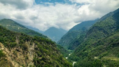
Dakar gets the headlines – the nightlife, the art scene, the ferry to Goree Island, the restaurants pulling crowds from three continents. But six hours south by road, the Casamance River cuts through a landscape so different from the rest of Senegal that travelers who make the trip often describe feeling like they’ve entered another country entirely. The light is softer. The pace is slower. The air carries salt and green in equal measure.
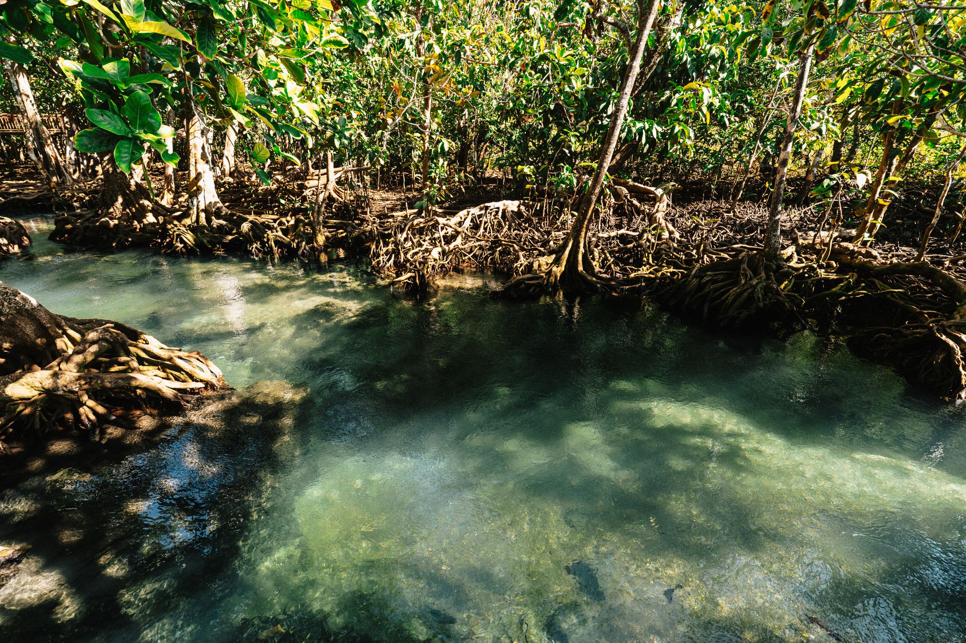
The Casamance region has long occupied an awkward position in Senegalese tourism – too remote to catch casual visitors, too beautiful to stay hidden forever. A decades-long low-level separatist conflict kept international tour operators cautious for years, and that caution built a wall that protected the place from the kind of development that tends to sand down everything distinctive about a destination. The conflict has been largely quiet for years now, and what remains is a river delta, a patchwork of mangrove forests, and a collection of communities whose relationship with the land is among the most intact on the West African coast.
The River as the Road
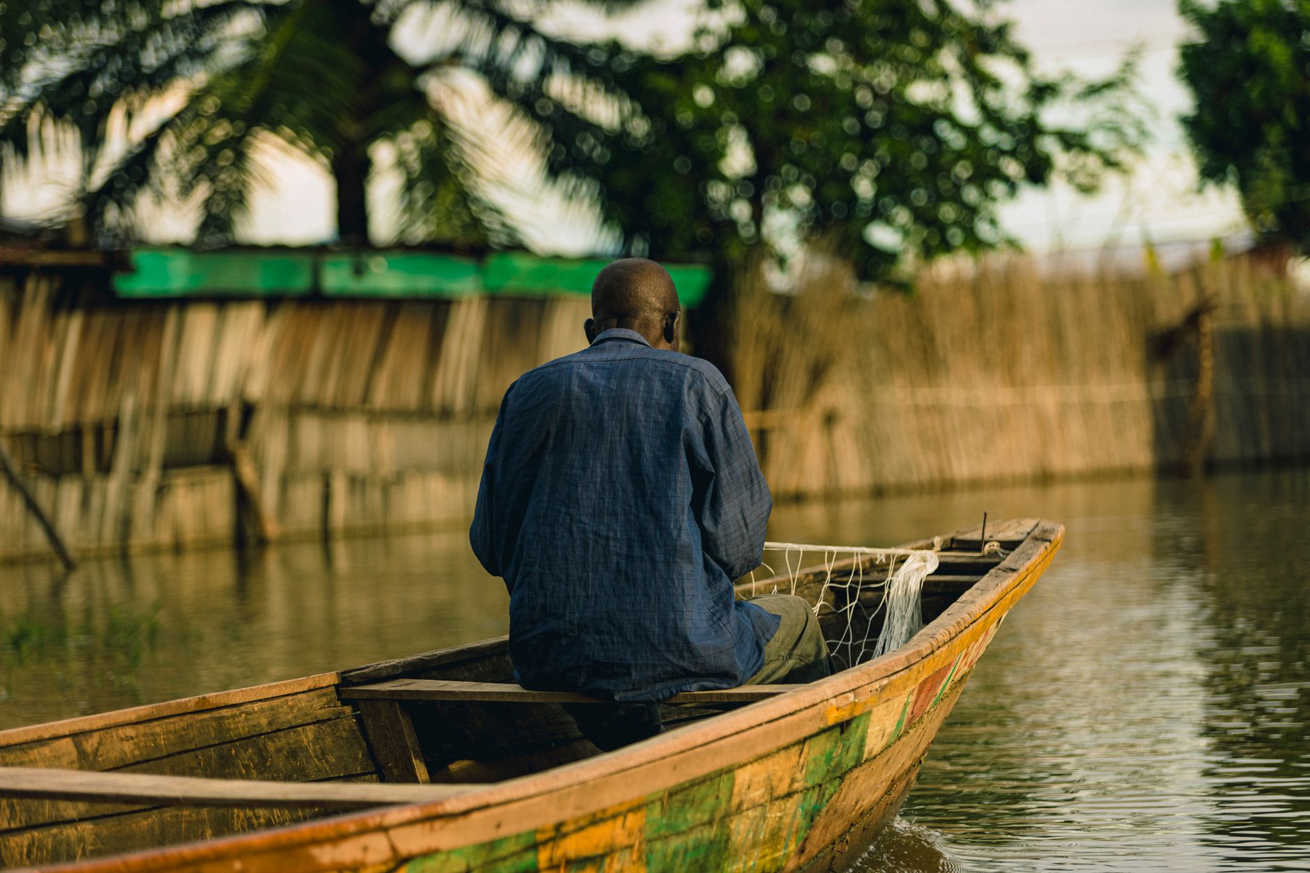
The Casamance River doesn’t move fast. It pools and bends through the region’s interior, past villages accessible only by pirogue – the long wooden canoes that function here the way taxis function in Dakar. Getting on the water is not a tourist activity bolted onto the region’s identity. It is simply how people move. Travelers who hire a local guide and spend a day on the river will pass fishermen hauling nets at dawn, women washing fabric on flat riverbanks, children swimming near stands of mangrove that press close to the water’s edge.
Ziguinchor, the regional capital, serves as the practical base. It’s a market city with a colonial-era grid and a port that still receives the overnight ferry from Dakar – a journey that takes roughly 18 hours but rewards patience with views of the Atlantic coast and the sensation of arriving somewhere by sea. From Ziguinchor, the river opens west toward the delta communities and east toward the interior forests, giving travelers the option to go deeper into either direction without retracing ground.
The Diola Villages and What They’ve Kept
The Diola people are the dominant ethnic group in Casamance, and their cultural practices shape nearly everything a traveler encounters here. Unlike much of Senegal, where Islam is practiced by the vast majority of the population, Casamance holds a significant number of communities following traditional animist beliefs alongside Christianity and Islam. The result is a cultural texture that feels layered and unresolved in the best way – sacred forests treated with genuine reverence, ceremonies that have not been converted into performance for tourists.
The sacred forests, known locally as bois sacres, are found throughout the region. They mark sites of initiation and spiritual significance and are not accessible to outsiders, which is itself a telling detail about how the Diola have managed the relationship between their traditions and outside visitors. Boundaries are clear, enforced not by signage but by mutual understanding.
Village stays are possible through community-managed guesthouses called campements villageois, a model developed decades ago with French cooperation that puts revenue directly into village hands rather than routing it through external operators. The accommodations are basic – thatched structures, outdoor showers, meals cooked over wood fire – but the access they provide to daily village life is the kind that boutique hotels in Dakar charge a premium to simulate and never quite achieve.
Kabrousse, near the Guinean border, and Oussouye, in the forest interior, are among the villages where this model works most visibly. Travelers who stay more than one night often find themselves absorbed into the rhythms of the place in ways that single-day excursions from Ziguinchor don’t allow.
Cap Skirring and the Atlantic Edge
Where the river delta meets the Atlantic, the coastline around Cap Skirring offers beaches that rank among the finest in West Africa – long, wide, and largely uncrowded outside of a narrow window in December and January when French tourists arrive in numbers. The surf is strong enough to be interesting, the water warm enough to be welcoming, and the infrastructure light enough that you won’t find beach vendors every twenty meters.
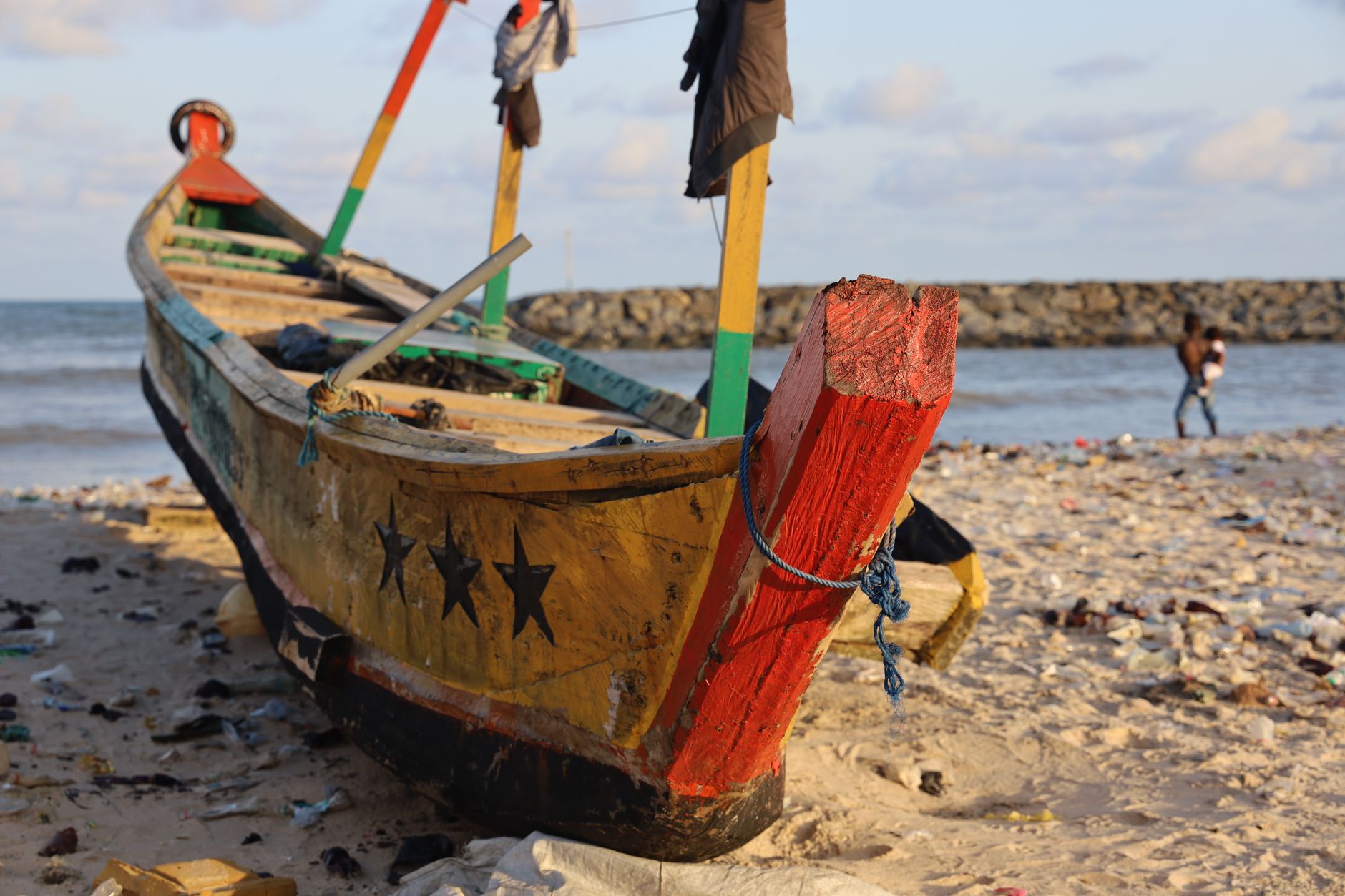
A small cluster of hotels operates here, ranging from locally owned guesthouses to a handful of mid-range properties with pools. The fishing village directly adjacent to the tourist strip is close enough that the distinction between the two feels permeable – a quality that tends to disappear when destinations graduate to full resort status.
Getting There and What to Expect
The overnight ferry from Dakar remains the most atmospheric option for reaching Ziguinchor, though the journey’s length is not for every traveler. Flights operated on regional carriers connect Dakar’s Leopold Sedar Senghor International Airport to Ziguinchor’s Cap Skirring Airport in under an hour, cutting the travel time dramatically. The road route via the Gambia requires crossing two international borders and adds unpredictability, though a newer Trans-Gambian highway bridge has improved conditions considerably.
The best travel window runs from November through February, when harmattan dust has not yet thickened the air and the rains have cleared. The wet season, from June through October, transforms the region – the mangroves flood, the rivers swell, and the landscape turns intensely green, but movement becomes harder and some campements close entirely.
French is useful here more than Wolof, which is dominant in Dakar and the north. Diola is the language of daily life in the villages, and even a handful of words in it tends to generate a warmth that marks the difference between being received as a tourist and being received as a guest. The distinction, in Casamance, is one that locals notice and remember.