Tanzania’s Usambara Mountains Quietly Rival Kilimanjaro for Village Trekkers

The Mountain Tanzania Forgot to Market
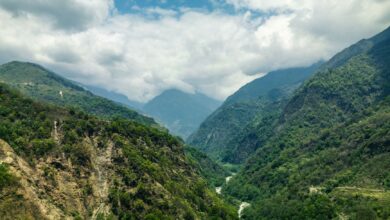
Kilimanjaro gets the billboard, the bucket-list checkbox, and the Instagram caption. But tucked into the northeastern corner of Tanzania, the Usambara Mountains have been quietly running a different kind of show – one built on clay footpaths, cardamom farms, and the kind of unhurried hospitality that mass tourism tends to erase. The Usambaras sit at elevations between 1,500 and 2,440 meters, draped in some of East Africa’s most intact montane forest, and divided into two distinct ranges: the West Usambaras, anchored by the colonial-era town of Lushoto, and the more remote East Usambaras, centered around Amani.
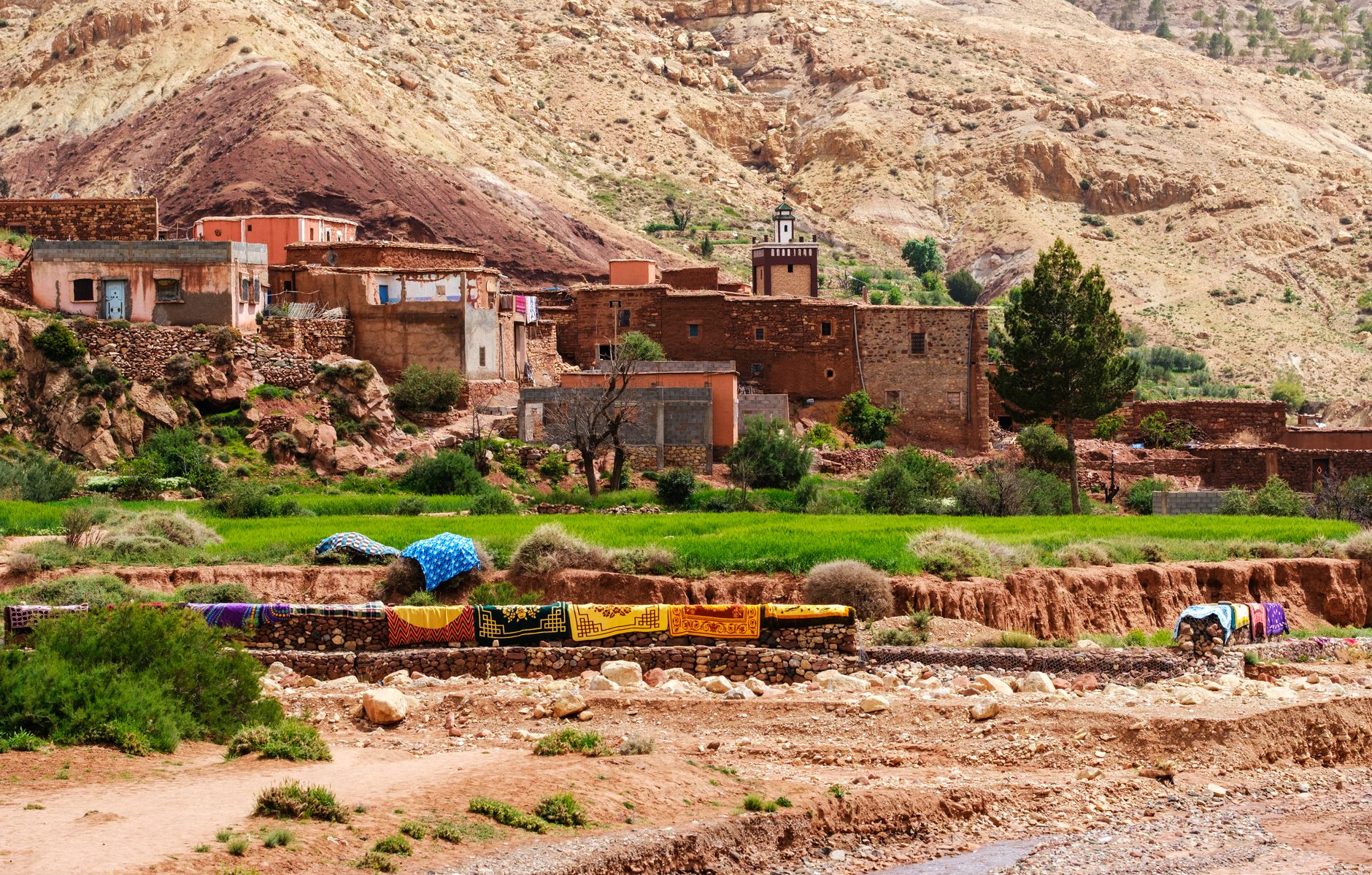
What makes this range genuinely interesting for trekkers is not just the scenery – though the misty ridgelines and violet-blue African violets (which are native to these slopes) are hard to overstate – but the density of village life woven into every trail. You are not walking past communities here. You are walking through them. That distinction shapes every hour of the experience.
Lushoto and the West Usambara Circuit
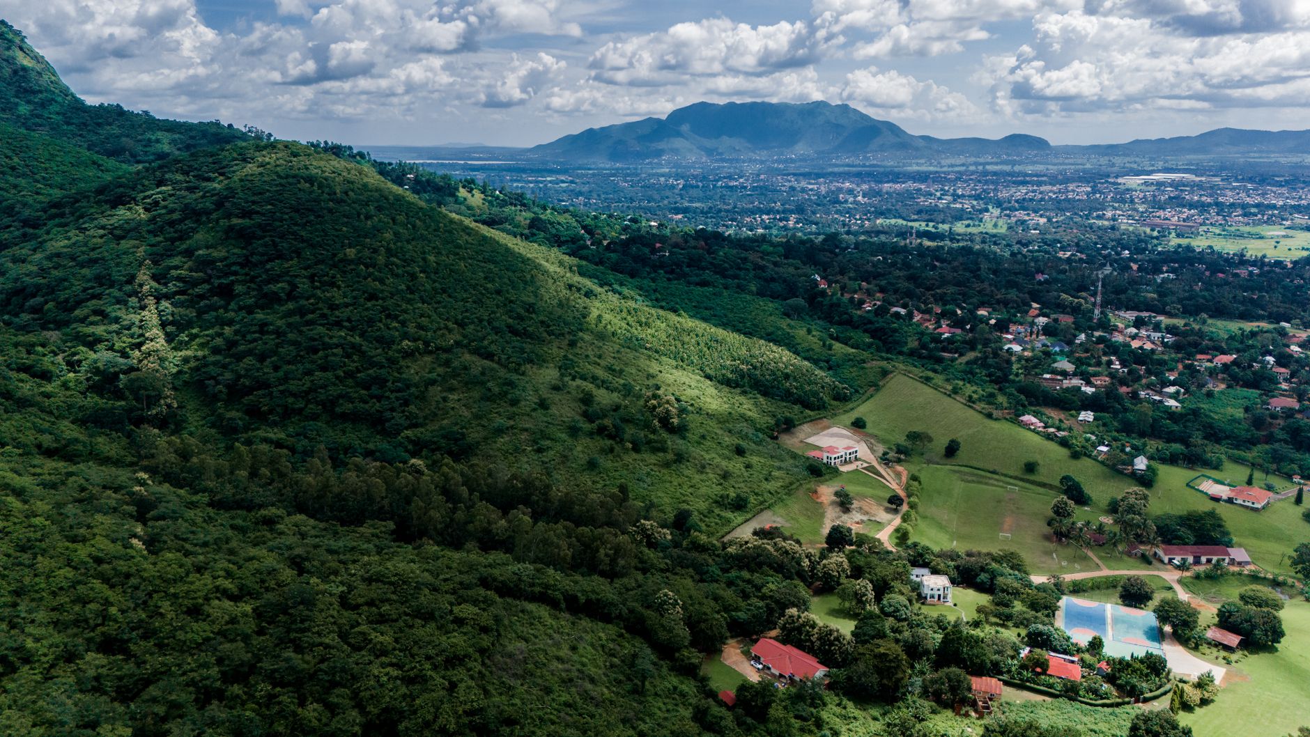
Lushoto serves as the main gateway for most visitors, and it earns its role. The town sits at around 1,400 meters, surrounded by terraced farms and German colonial architecture left over from Tanzania’s pre-World War I history. Local guide associations based here have developed a network of multi-day routes connecting villages like Mtae, Mambo, and Irente – each offering basic guesthouses, farm-cooked meals, and views across the Maasai Steppe that stretch so far on clear mornings they feel implausible.
The Irente viewpoint, a two-hour walk from Lushoto, is the most visited single attraction in the range – and even on a busy weekend it rarely sees more than a handful of visitors at once. The path drops through a Seventh-day Adventist farm that sells fresh bread and yogurt to passing trekkers, a small logistical detail that somehow perfectly captures what the Usambaras do well: practical, generous, and entirely untheatrical. The four-day loop through Mtae involves enough elevation change to feel genuinely physical, but the real effort is absorbing everything around you.
Accommodation in the West Usambaras ranges from government-run rest houses charging a few dollars a night to the occasional boutique lodge with real beds and hot showers. Neither extreme dominates. Most trekkers end up somewhere in between – a family guesthouse where dinner is negotiated in advance and the family’s schedule partly determines yours. That friction, for the right traveler, is exactly the point.
The East Usambaras and Amani Nature Reserve
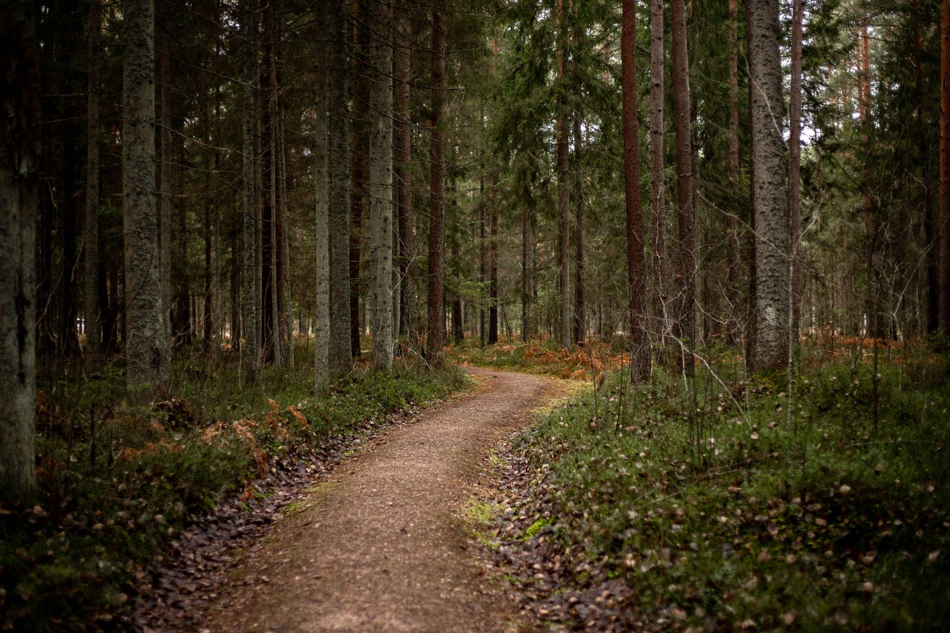
The East Usambaras receive fewer visitors and offer a different character entirely. Amani Nature Reserve covers roughly 8,380 hectares and protects some of the most biodiverse forest in Africa – a botanical research station was established there in the early 1900s, and its legacy of plant collection means the reserve holds introduced species alongside endemic ones in a layered, botanically unusual landscape. Birders in particular make dedicated detours for the Usambara weaver, the long-billed tailorbird, and the Amani sunbird, none of which appear anywhere else.
Getting to Amani requires more effort than reaching Lushoto – the roads are rougher, the transport connections thinner, and the infrastructure more basic. That friction filters the visitor flow to a trickle, which for the forest’s sake seems like the right outcome. The hiking here is less about village connections and more about immersion in canopy and stream crossings, though local guides from nearby communities lead most routes and the knowledge they carry about forest plants and medicinal uses adds a dimension that no trail map can replicate.
Why Village Trekking Works Here
The Usambaras function as good village trekking because the communities along the main routes have been managing visitor access for long enough to set their own terms. Local guide networks, many affiliated with organizations supported by regional tourism bodies, keep revenue circulating within villages rather than routing it through Arusha-based operators. A trekker who books through a Lushoto guide cooperative is paying people who live within walking distance of the trails – a supply chain short enough that the economic logic is visible and the personal accountability is real.
The terrain itself supports village-scale trekking in a way that high-altitude mountaineering simply cannot. Kilimanjaro demands acclimatization, technical preparation, and substantial permit fees. Uganda’s Rwenzori Mountains present similar high-altitude demands for glacier trekkers. The Usambaras ask only that you show up, wear decent shoes, and carry enough shillings to pay for your meals. The result is a range that is genuinely accessible to trekkers who have neither the budget nor the ambition for summit climbs but still want something physically real and culturally dense.
There is also the matter of the forest itself. The Eastern Arc Mountains – the geological chain that includes the Usambaras – are considered among Africa’s most important biodiversity corridors, comparable in significance to Madagascar for their rate of endemic species. Walking through the West Usambaras means passing through shade forest where chameleons move across branches at eye level and colobus monkeys track your progress from the canopy. None of this has been arranged for your benefit. It simply exists, and the trails run through it.
What the Usambaras have not yet figured out – or perhaps have deliberately avoided – is how to turn this into a packaged product. There is no single booking portal, no curated “top 10 trails” infrastructure, no standardized pricing. That absence is both the range’s biggest draw and its most practical inconvenience. Trekkers who arrive expecting the logistical clarity of a Kilimanjaro permit system will find something considerably messier, more negotiated, and ultimately more interesting. The villages along the Mambo ridge still get cell service only intermittently, which means plans sometimes change over breakfast when the guide’s cousin arrives with weather news from the next valley over.
That kind of planning – or rather, that willingness to abandon it – is what the Usambaras actually demand from visitors. The mountains are not difficult. The adjustment is entirely attitudinal.