
The Mountain Range Most Travelers Skip Entirely
Cappadocia gets the postcards, the Instagram reels, the hot air balloon silhouettes at sunrise. It earns every bit of that attention. But Turkey holds another landscape entirely – one that doesn’t photograph as neatly and doesn’t cater to tourist infrastructure with the same polish. The Kaçkar Mountains, tucked into the northeastern corner of the country along the Black Sea coast, offer a version of Turkey that most visitors never see: raw, high-altitude, and genuinely demanding of your full attention.
The range stretches roughly 100 kilometers through Rize and Artvin provinces, peaking at Kaçkar Dağı at just over 3,900 meters. This is not scenic backdrop terrain. These are real mountains, with serious elevation gain, glacier-fed lakes, and weather that changes fast enough to remind you that nature here operates on its own schedule. The hikers and trekkers who do make the journey tend to come back speaking about it with the kind of intensity usually reserved for places like Patagonia or the Caucasus.
What the Kaçkars Actually Look Like on the Ground
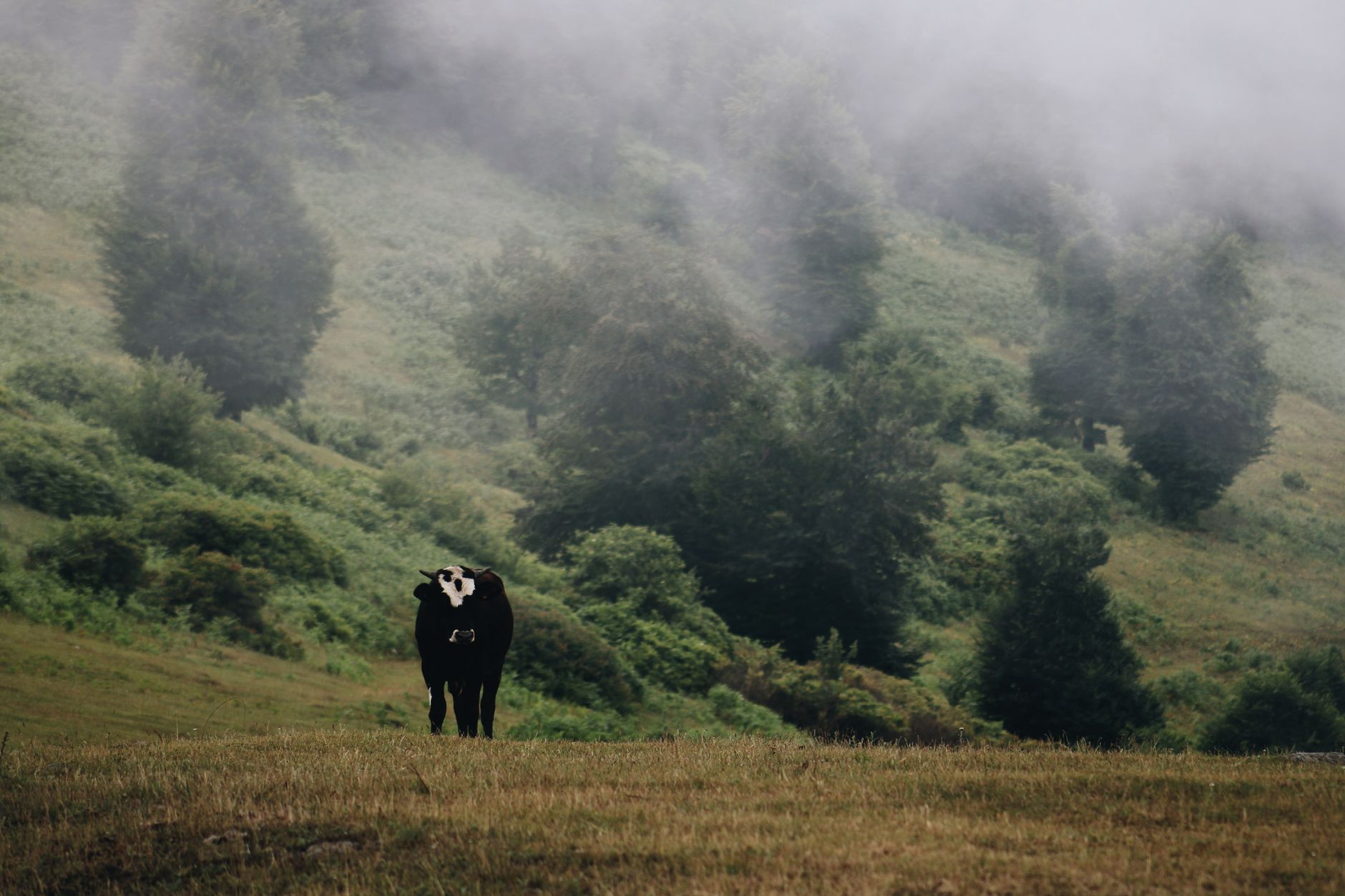
The landscape shifts dramatically depending on which side of the range you approach from. The Black Sea slope is lush, almost impossibly green – terraced tea gardens climbing steep hillsides, forested valleys thick with mist, and villages perched at elevations where the air genuinely thins. The southern slopes, by contrast, drop into the drier Çoruh River valley, where the terrain opens up and the rock faces become starker and more exposed. Most trekking routes cross between these two worlds, making the Kaçkar traverse a rare experience of watching an ecosystem flip over the course of a single day’s walk.
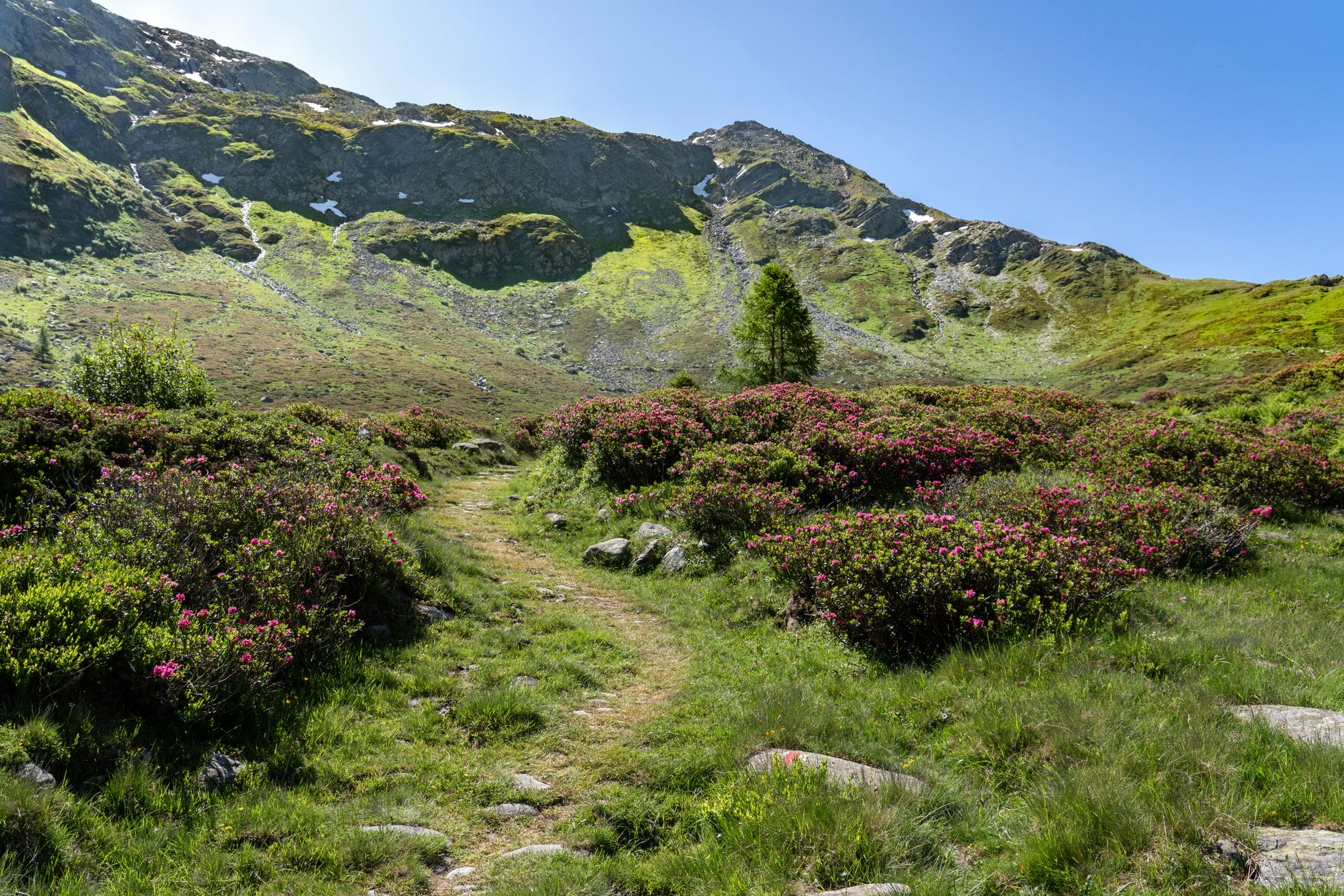
Alpine meadows, called yayla, dot the higher elevations and serve as summer pastures for the local Laz and Hemşin communities. These are not decorative meadows. They are working landscapes where families move their livestock up each summer, living in stone or wooden shelters, making cheese, and maintaining a pattern of seasonal migration that has stayed largely intact for generations. Walkers moving through these areas are passing through an active way of life, not a preserved exhibit. That distinction matters to anyone who has grown tired of destinations that present culture as performance.
The Trekking Routes Worth Planning Around
The standard multi-day crossing, often called the Kaçkar Trek or the Kaçkar High Route, typically runs between the villages of Ayder on the north and Yaylalar or Olgunlar on the south. Most trekkers complete it in four to six days, though that range depends heavily on acclimatization stops, weather delays, and whether you push through the high passes in a single effort or break them into stages. The main passes – Kavrun, Çaymakçur, and Dilberduzu – sit above 3,000 meters and can hold snow well into July.
What makes the logistics interesting is the relative lack of fixed infrastructure above the lower villages. Some trekkers camp entirely, carrying gear over each pass. Others rely on the yayla settlements for basic accommodation and homemade food – a bowl of butter-heavy soup, fresh bread, local cheese – which requires some flexibility and a willingness to communicate with limited shared language. Guided options exist through small regional outfitters based in Ayder and Rize, and hiring a local guide is genuinely useful here, less for navigation and more for access: knowing which family will welcome you, where the water sources are reliable, and how to read the afternoon cloud buildup that signals incoming rain.
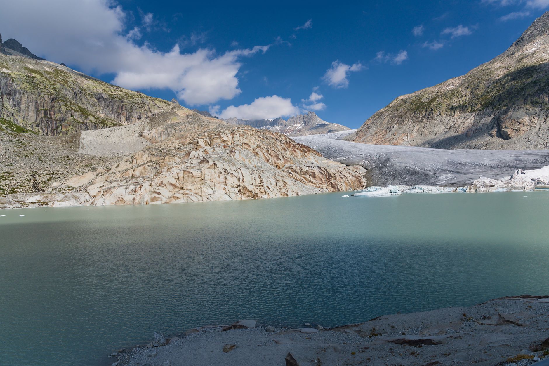
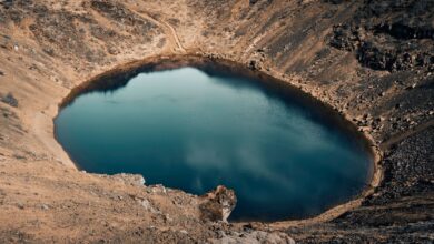
Day hiking options are strong enough to warrant a visit even without committing to the full traverse. The Pokut and Hazindak plateaus above Ayder offer several loop routes with dramatic payoffs for a half-day of effort. The lake at Deniz Gölü, sitting at around 3,000 meters, is reachable in a long day from the right starting point and delivers the kind of alpine stillness that feels genuinely earned. For anyone who has spent time in Iran’s Alamut Valley or Jordan’s Wadi Rum, the Kaçkars scratch a similar itch – places where the effort of arrival is part of what the landscape gives back.
The Kaçkar region also attracts a small but growing mountaineering community focused on the technical routes on Kaçkar Dağı itself. The normal route on the peak is non-technical in summer conditions but requires solid fitness and basic mountain sense. Early season ascents and winter attempts are serious undertakings. The mountain draws far fewer climbers than comparable peaks in the Alps or even the Caucasus, which means summit days here don’t involve queues or fixed rope traffic.
Timing, Access, and the Case for Going Now
The trekking season runs from late June through September, with July and August offering the most reliable window above 2,500 meters. Snow lingers at the passes into early summer and returns by mid-autumn, compressing the usable season into about three months. That compression is actually part of the appeal – the yayla communities are fully active, wildflowers cover the high meadows, and the angle of late summer light on the granite faces and glacial lakes is difficult to overstate.
Getting there requires intention. Most travelers fly into Trabzon, the largest city on the eastern Black Sea coast, then travel overland to Rize or directly to Ayder by road. The drive from Trabzon to Ayder takes roughly two hours and winds through terrain that is already worth the journey – the switchback road climbing out of the coast and into the mountains is its own kind of arrival ritual. There are no direct international flights into a closer hub, and no rail connection that closes the gap meaningfully. This is a place that filters visitors by requiring actual effort to reach.
Accommodation in Ayder ranges from basic guesthouses to a small number of more comfortable pansiyon options, some with thermal baths fed by the area’s hot springs. The town itself is small and functional rather than picturesque, but it serves as a solid base without pretending to be more than it is. During peak summer weeks the village fills up with Turkish domestic tourists, many of whom come specifically for the cooler temperatures as the lowlands bake. Foreign trekkers remain a minority, and the valley hasn’t developed the tourist-facing economy that would change its character – yet.
The central tension for the Kaçkars right now is exactly that qualifier. Interest in the region among international travelers has been building steadily as trail information becomes more available online and as Turkey’s overall tourism profile rises. The infrastructure that would make the region more accessible – better marked trails, consistent mountain huts, multilingual guiding services – is still fragmentary. That gap cuts both ways: it keeps the experience authentic and keeps the crowds thin, but it also means a bad weather decision or a navigation error carries real consequences. The Kaçkars will reward the prepared traveler. Whether they stay this way if broader attention arrives is the question the region hasn’t had to answer yet.