
The Road Less Traveled Has a Name
Sapa built its reputation on terraced rice fields and misty mornings, drawing package tourists, luxury resorts, and Instagram crowds in numbers that have quietly eroded the raw experience many travelers came for in the first place. Meanwhile, roughly 300 kilometers northeast, the Ha Giang Loop has been doing everything Sapa used to do – rugged mountain roads, minority villages, staggering karst scenery – with a fraction of the foot traffic and almost none of the commercialization. The difference is not subtle.
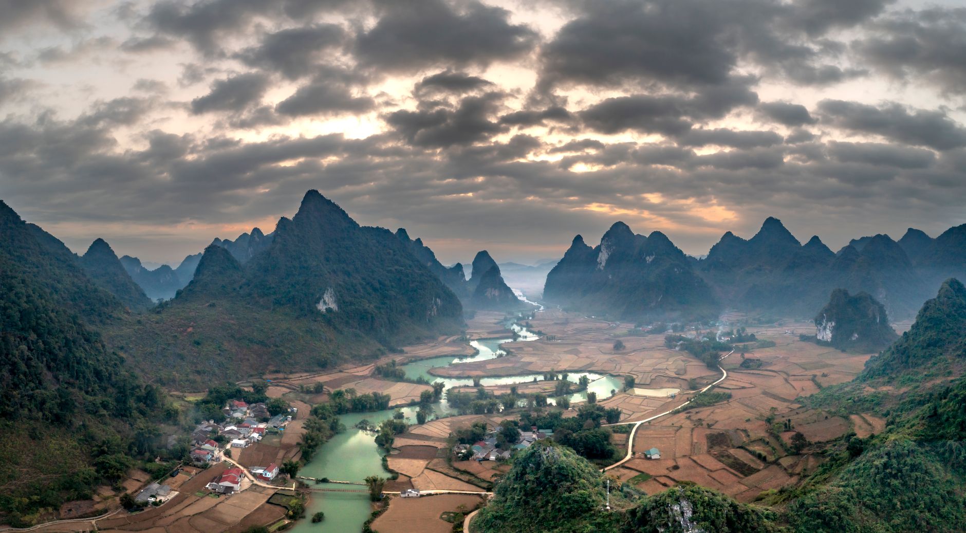
Ha Giang province sits at Vietnam’s northernmost edge, bordering China’s Yunnan province, and the loop road that winds through it covers somewhere between 300 and 400 kilometers depending on the route variation. It passes through the Dong Van Karst Plateau Geopark, a UNESCO-recognized geological zone that holds some of the most dramatic highland terrain in Southeast Asia. Travelers who have done both routes consistently describe Ha Giang as the version of northern Vietnam they were hoping to find.
What Makes the Loop Different
The loop is not a polished tourist circuit. There are no gondola rides, no hilltop hotels with infinity pools overlooking the valleys, and very few restaurants that exist primarily for foreign visitors. Most towns along the route – Dong Van, Meo Vac, Yen Minh – are working market towns where H’mong, Tay, Dao, and Lo Lo communities live and trade as they have for generations. The weekly markets, particularly the Sunday market at Dong Van and the weekend gatherings at Meo Vac, are not staged for tourism. They are functional social and commercial events that happen to be extraordinary to witness.
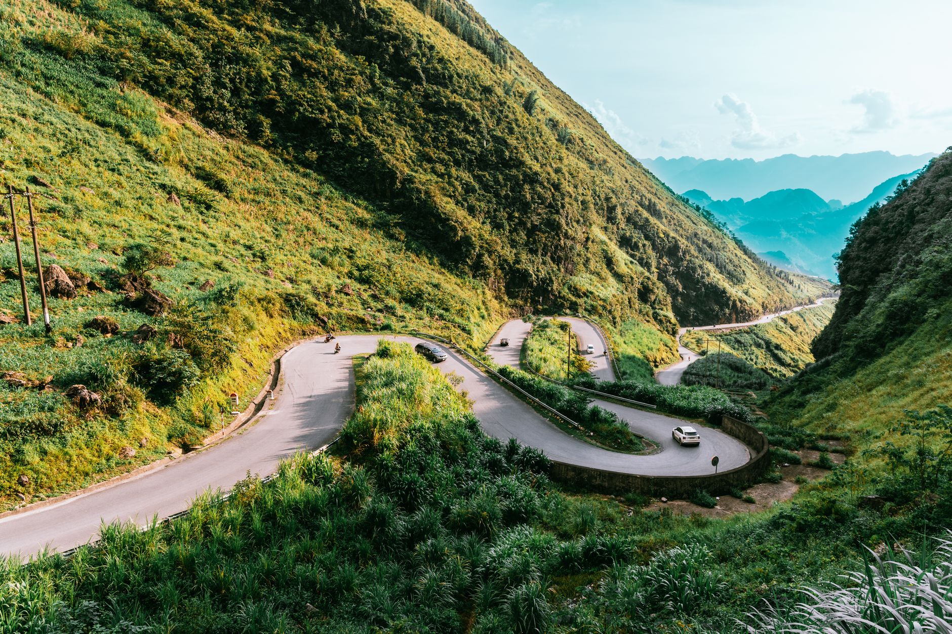
The road itself is the main character. The stretch between Dong Van and Meo Vac, known locally as the Ma Pi Leng Pass, drops into the Nho Que River gorge with a ferocity that stops first-time riders mid-road to stare. The river runs a vivid turquoise at the bottom of a canyon so deep and sheer that it takes a moment to register the scale. This single stretch of road is routinely cited by motorbike travelers as among the best riding in Asia, not because of infrastructure quality but because of what surrounds it.
Most visitors rent semi-automatic motorbikes in Ha Giang City, which serves as the loop’s base town. Experienced riders manage the full circuit in three to four days; slower travelers or those who want time in the villages stretch it to five or six. A small but growing number of travelers opt for guided tours on the back of “Easy Rider” style motorcycles, particularly solo travelers or those who want a local guide explaining the cultural context of what they’re passing through. The level of difficulty is real – mountain roads, unpredictable weather, steep descents – and the loop is not appropriate for riders without prior motorbike experience.
Accommodations along the route run overwhelmingly to guesthouses priced between a few dollars and thirty dollars a night. Some are family-run homestays where meals are included and the host family’s daily life happens around shared tables. This is not a place where boutique hotels have arrived yet, and for many travelers that absence is precisely the appeal.
The Sapa Comparison Is More Than Marketing
Sapa is still beautiful. That needs saying, because dismissing it outright misses why it became famous to begin with. The Muong Hoa Valley, the Fansipan cable car, the surrounding ethnic minority villages – none of that stopped being scenic. What changed is the density of the visitor experience and the degree to which the infrastructure built around tourism now shapes the encounter more than the landscape itself does.
Ha Giang does not yet have that problem. The province received a fraction of Sapa’s annual visitor numbers even after tourism increased noticeably following wider coverage in travel media after 2018. The road conditions, the relative remoteness, and the required riding competence act as a natural filter. The result is a place where a traveler can park at a viewpoint on the Ma Pi Leng Pass in the middle of the day and share it with three other people, or none.
When to Go and What to Expect
The buckwheat flower season, which runs roughly from mid-October through November, draws the heaviest visitor numbers the loop sees. The fields turn pink-white across the karst plateau and the visual effect is significant enough that Vietnamese domestic tourism spikes noticeably during those weeks. Travelers who want both the flowers and the quiet should aim for early October or the first days of November when the blooms are opening but the crowds have not peaked.
March is a strong alternative. The mustard flowers bloom yellow across the valley floors, the light is clear, and the roads are drier than the summer months when rain makes some descents genuinely hazardous. Summer travel on the loop is not impossible but requires accepting mud, fog, and the occasional road closure after heavy rainfall.
Ha Giang City is connected to Hanoi by overnight sleeper bus, a journey of roughly eight hours, or by a day bus that many travelers find equally manageable. There is a small airport but flight connections are limited. The practical starting point for almost every loop traveler is Hanoi, which keeps the trip accessible without requiring complex logistics.

The province is actively navigating a tension familiar to any destination that gets written about: how to develop enough infrastructure to welcome visitors without erasing what made the place worth visiting. New guesthouses open each year, a few cafes with English menus have appeared in Dong Van’s old quarter, and some viewpoints now have small vendors. The loop still rewards those willing to ride it – but the version that exists in five years will depend heavily on whether the development pressure stays manageable or follows the path Sapa already traveled.