
The Road Less Ridden
Sapa gets the Instagram posts, the trekking agencies, the terraced rice field photos that flood travel feeds every autumn. But about 300 kilometers to the northeast, a 350-kilometer motorbike circuit through Ha Giang province has been pulling a quieter, more stubborn kind of traveler – the kind who rents a semi-automatic and figures it out as they go.
Why Ha Giang Is Winning Over the Mountain Crowd
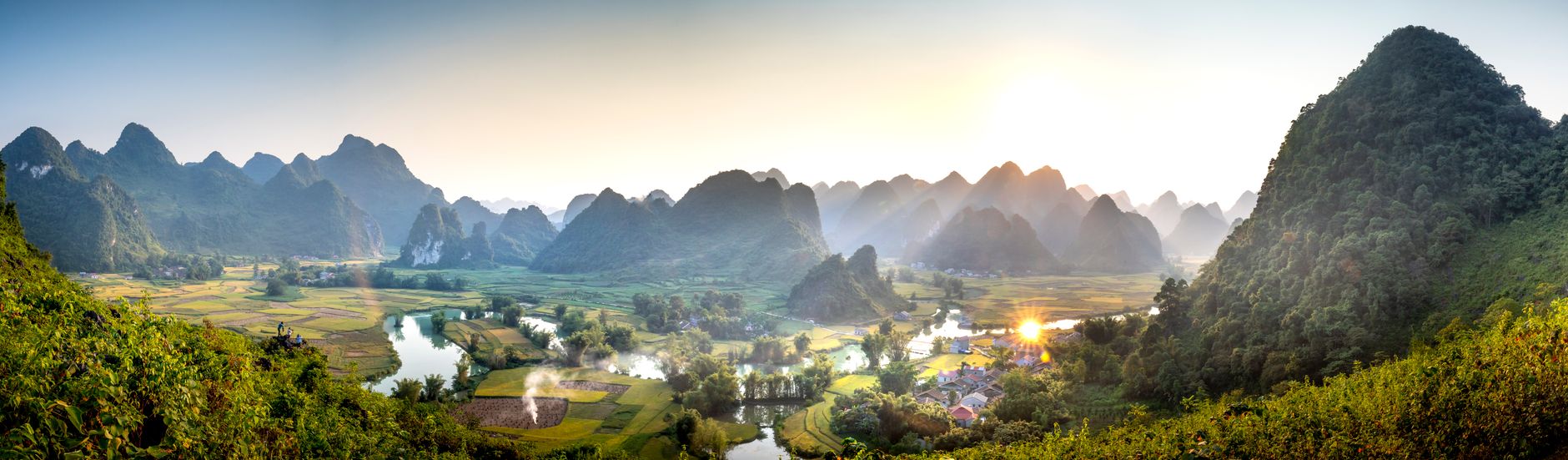
The Ha Giang Loop winds through the Dong Van Karst Plateau Geopark, a UNESCO-recognized landscape of limestone peaks, vertical valleys, and switchback roads so steep they have names. The Happiness Road – or Ma Pi Leng Pass – cuts along a cliff face above the Nho Que River, a stretch of electric green water running between canyon walls that drop several hundred meters straight down. No guardrail. No shoulder. Just road, rock, and sky.
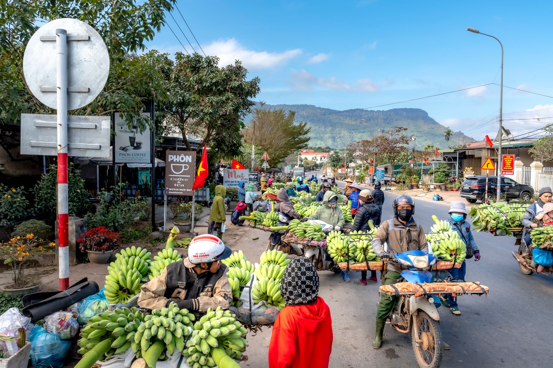
What separates Ha Giang from Sapa is not just geography. Sapa was developed for tourism decades ago, and that development shows – in the cable cars, the manicured trekking routes, the hotels that have multiplied faster than the minority villages they advertise proximity to. Ha Giang has infrastructure, but it is the kind that serves locals first. The weekly markets at Dong Van and Meo Vac are not staged for visitors. Hmong and Lo Lo women sell embroidered fabric and livestock side by side. The commerce is real and the color is incidental.
The Loop typically runs four to five days, starting and ending in Ha Giang City. Most riders go counterclockwise to keep the most dramatic section – the Ma Pi Leng Pass – for the third day, when their nerves and throttle hands have had time to calibrate. The route passes through Quan Ba, Yen Minh, Dong Van, and Meo Vac, each town distinct enough to justify the stop and cheap enough that a decent guesthouse rarely costs more than ten dollars a night.
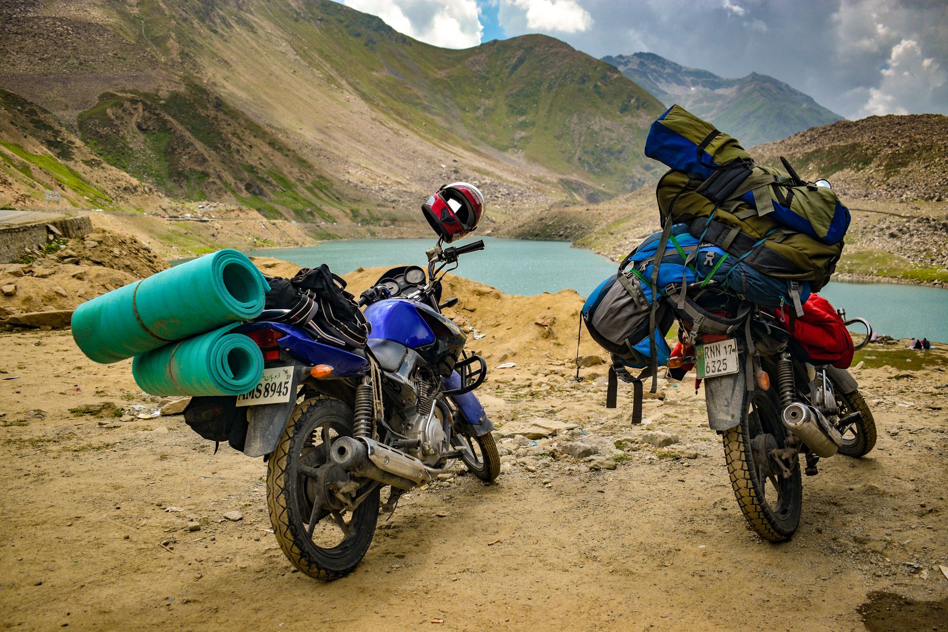
Solo travelers and small groups have been the backbone of this route for years. Organized tours exist, but the Loop’s culture skews toward self-sufficiency. The standard rental is an Easy Rider-style semi-automatic, though fully manual trail bikes are available for those who want to push off-road onto the dirt tracks that branch away from the main circuit. The roads are paved but narrow, and the mountain weather has opinions of its own.
The Experience on the Ground
Mornings on the Loop start with fog. Thick, low cloud that sits in the valleys until mid-morning, which means the first hour of riding is often a slow crawl through white air, headlight on, visibility down to twenty meters. When it clears, the landscape that appears is the payoff – limestone karst formations rising abruptly from terraced corn fields, villages balanced on ridgelines, goats crossing the road with complete indifference to the traffic backed up behind them.
The food along the route is mostly northern Vietnamese staples – pho, banh mi, com binh dan (everyday rice plates with rotating sides). In the market towns, minority cuisine appears in forms that rarely make it to restaurant menus in Hanoi. Thang co, a horse meat stew that is a traditional Hmong dish, is polarizing but worth trying for the story alone. Black corn wine shows up in plastic jugs at roadside stalls, and the hospitality at family-run guesthouses often includes a shared meal if you arrive at the right hour.
The Nho Que River viewpoint above Ma Pi Leng Pass has become the Loop’s most-photographed single moment. A concrete observation platform hangs over the canyon, and in the late afternoon light the water below turns a color that photographs do not fully capture – somewhere between jade and turquoise, depending on season and sediment. The pass itself is a sustained stretch of hairpin bends that rewards patience and punishes speed. Riders who have done both the Ha Giang Loop and Vietnam’s more famous mountain roads tend to rate Ma Pi Leng among the most technically demanding.
Accommodation across the circuit ranges from no-frills homestays with shared bathrooms to newer guesthouses with hot water and wifi. Dong Van town has the most options, including a few places built into the old stone quarter – French colonial-era buildings that survived long enough to become atmospheric rather than just dilapidated. Meo Vac, the lowest point on the route and the most dramatically situated, has seen new builds in recent years as word about the Loop continues to spread beyond the backpacker circuit.
The permit situation is worth knowing before arrival. Foreign visitors are required to register with local authorities to travel through parts of Ha Giang province, and most reputable rental shops and guesthouses in Ha Giang City handle this paperwork as a matter of course. The process is straightforward but not optional. Travelers who skip it risk fines and the kind of bureaucratic delay that ruins a tight itinerary.
When to Go and What to Expect
The two windows that consistently produce the best conditions are September through November – when the buckwheat flowers bloom across the plateau in pink and white and the rice terraces hit their golden pre-harvest color – and March through May, when the weather stabilizes after winter cold and the roads are dry. December through February is doable but cold at altitude, with temperatures that drop sharply after sunset and morning mist that can turn to light rain without warning.
Ha Giang is not yet at the saturation point that Sapa reached years ago. The Loop still has stretches where a rider can go thirty minutes without seeing another tourist. That window will not stay open indefinitely – guesthouse construction has accelerated, and travel content about the route has been circulating widely enough that the tourist count climbs each season. The question for travelers deciding between the two is really a question about timing: Sapa offers an easier, better-organized experience right now, while Ha Giang still rewards anyone willing to navigate minor inconvenience in exchange for a road that feels, for now, genuinely unfinished.
Frequently Asked Questions
How long does it take to complete the Ha Giang Loop?
Most riders complete the loop in four to five days, starting and ending in Ha Giang City, with stops in Quan Ba, Yen Minh, Dong Van, and Meo Vac.
Do you need a permit to ride the Ha Giang Loop?
Yes, foreign visitors must register with local authorities to travel through parts of Ha Giang province. Most rental shops and guesthouses in Ha Giang City handle this paperwork automatically.
What is the best time of year to ride the Ha Giang Loop?
September to November and March to May offer the most reliable conditions. The buckwheat bloom in autumn and dry roads in spring make these the most popular windows.