
The Quilotoa Loop in Ecuador’s central Andes has spent decades flying under the radar while the Inca Trail collected the glory. That quiet is ending. Crater hikers who have done both routes are starting to talk, and what they’re saying is worth paying attention to.
A Route Built Around Volcanic Water
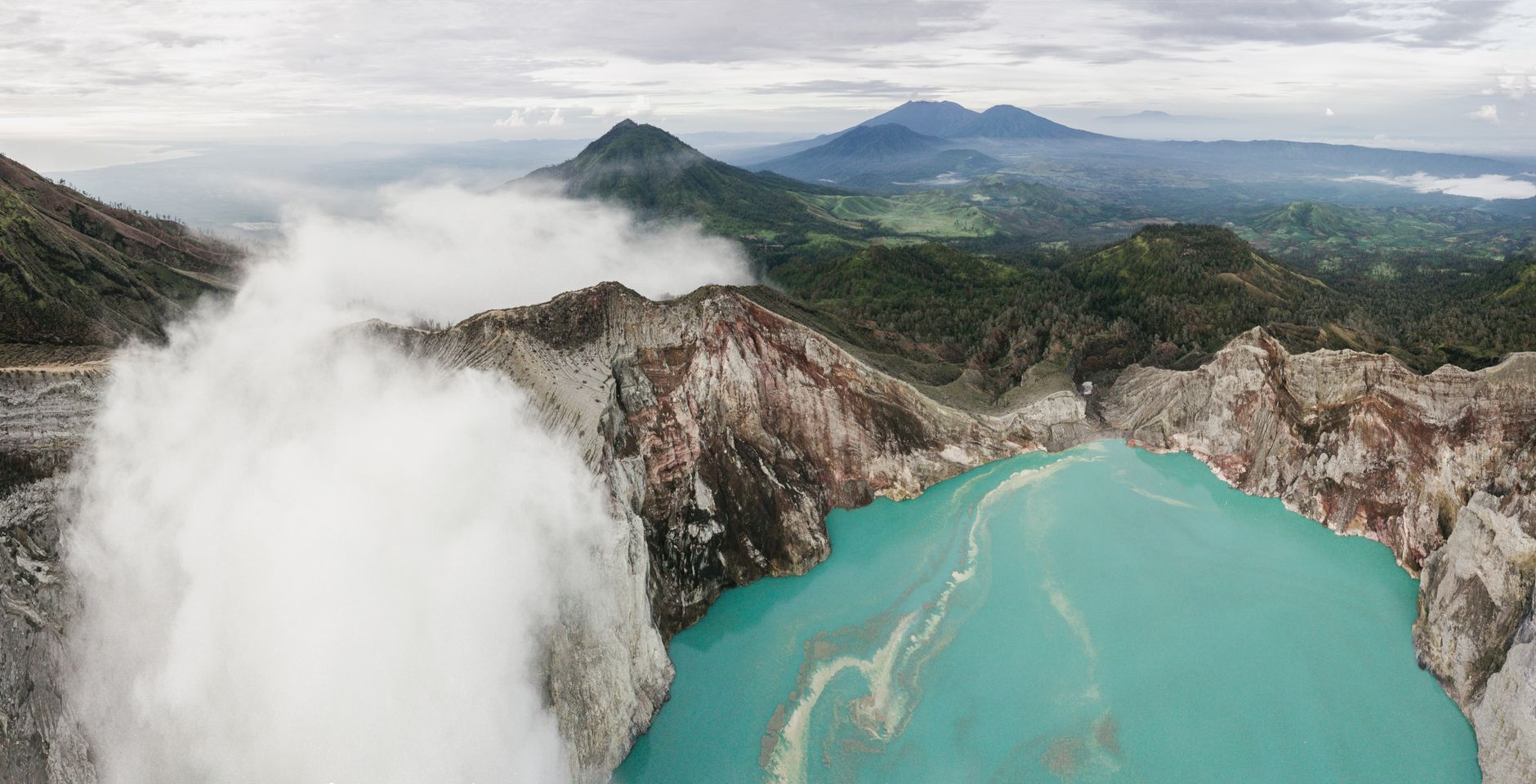
The loop centers on Laguna Quilotoa, a stunning caldera lake sitting at roughly 3,900 meters above sea level. The water is a startling turquoise-green, colored by dissolved minerals left behind after the volcano’s last major eruption around 800 years ago. The lake itself is about 3 kilometers wide, and the crater walls drop sharply from the rim trail to the water below. Hiking down to the waterline and back up is an hour-long detour most people don’t skip.
The full multi-day loop connects several indigenous Kichwa villages – Quilotoa, Chugchilan, Sigchos, and Isinlivi among them – through a trail system that crosses canyon floors, climbs exposed ridgelines, and passes through farmland that looks almost untouched by outside tourism. The most popular version of the loop takes three to four days, though determined hikers with solid altitude fitness do it in two. Distance per day averages somewhere between 12 and 20 kilometers depending on the stage, with significant elevation gain and loss that makes mileage a deceptive measure of difficulty.
What makes the route genuinely different from Machu Picchu-bound treks is the lack of a single destination pulling everyone forward. On the Inca Trail, the logic is linear – you’re walking toward one endpoint. On the Quilotoa Loop, the crater is both starting point and recurring visual reference. Villages break up the walking into manageable pieces, each with its own small guesthouses, most of them family-run. The cumulative experience is less monument-focused and more about the actual walking itself.
Altitude is the first thing to manage. Quilotoa sits higher than most Andean trekking bases outside of Peru and Bolivia, and the loop rarely drops below 2,800 meters for long. Hikers arriving directly from sea level should plan at least two days in Quito or another highland town before attempting even the first stage. Headaches, fatigue, and reduced appetite are common during the first 24 hours on the trail, regardless of fitness level.
What the Trail Actually Demands
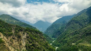
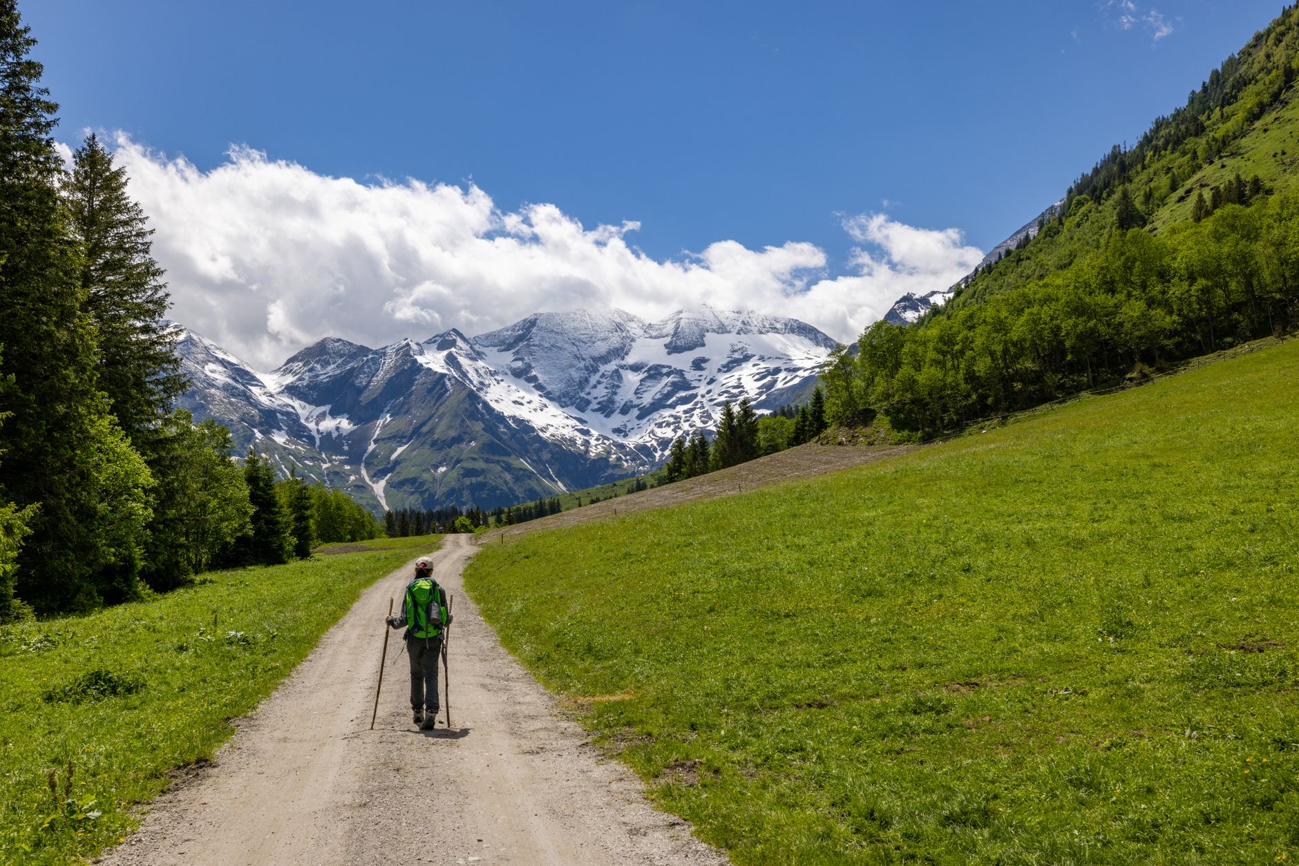
The section between Quilotoa and Chugchilan is widely considered the most scenic and the most physically demanding of the main stages. The trail descends steeply into the Rio Toachi canyon, crosses a river at the bottom, and then climbs back up through eucalyptus forest and open pasture. On a clear morning, the ridgelines are visible for kilometers in every direction, with Andean peaks appearing above the clouds when conditions cooperate. This is not a groomed trail – signage is inconsistent, and several hikers a year end up taking wrong turns down unmarked farm paths.
Navigation is honest work here. Unlike heavily trafficked routes where trail markers appear every hundred meters and guided groups serve as a moving reference system, the Quilotoa Loop requires map reading or a downloaded GPS track. A few outfitters in Latacunga – the nearest sizeable city – run guided versions of the full loop, but most hikers do it independently. The guesthouses in each village have become an informal information network; the family hosting you at night will typically sketch your route for the next day on a piece of paper and warn you about specific junctions where people commonly stray.
Accommodation is basic but functional. The most frequently mentioned guesthouses are small, family-operated posadas with shared bathrooms and meals served at communal tables. For hikers accustomed to the fixed camps and porter systems of the Inca Trail, the shift in infrastructure is notable. You carry your own gear, choose your own pace, and eat whatever the family prepared that evening – usually soup, rice, a protein, and fresh bread baked in a wood-fired oven. The food quality is consistently better than its simplicity suggests.
Weather on the loop is variable and changes fast. The Ecuadorian Andes sit on the equator, which means the seasons don’t follow the same logic as further south. The dry season generally runs from June through September, but afternoon rain is possible year-round. Mornings are typically clear; clouds build through the afternoon. The practical implication is that experienced loop hikers start each stage by 7 a.m., reach their destination before lunch if possible, and treat afternoon hiking as a bonus rather than a plan.
The canyon descent sections are genuinely steep and hard on knees during the downhill stretches – trekking poles are worth bringing regardless of how you normally hike. Footwear with solid ankle support matters more here than on many other multi-day routes because the paths transition between loose rock, wet clay, and grassy ridgeline with no warning. A few stages have shortcut options via local road that reduce the distance but cut out most of the scenery. Virtually nobody who has done both versions recommends the shortcut.
Getting There and Staying Grounded
Latacunga is the standard gateway city, about two hours south of Quito by bus. Local buses from Latacunga reach Quilotoa village in roughly two to three hours depending on the route. The road is paved most of the way but slow-going through switchbacks, and market day schedules in the villages occasionally affect bus availability. Budget travelers often find that the total cost of a four-day Quilotoa Loop – including transport, guesthouses, and meals – runs significantly less than a single night at some hotels near Machu Picchu. The math is not subtle.
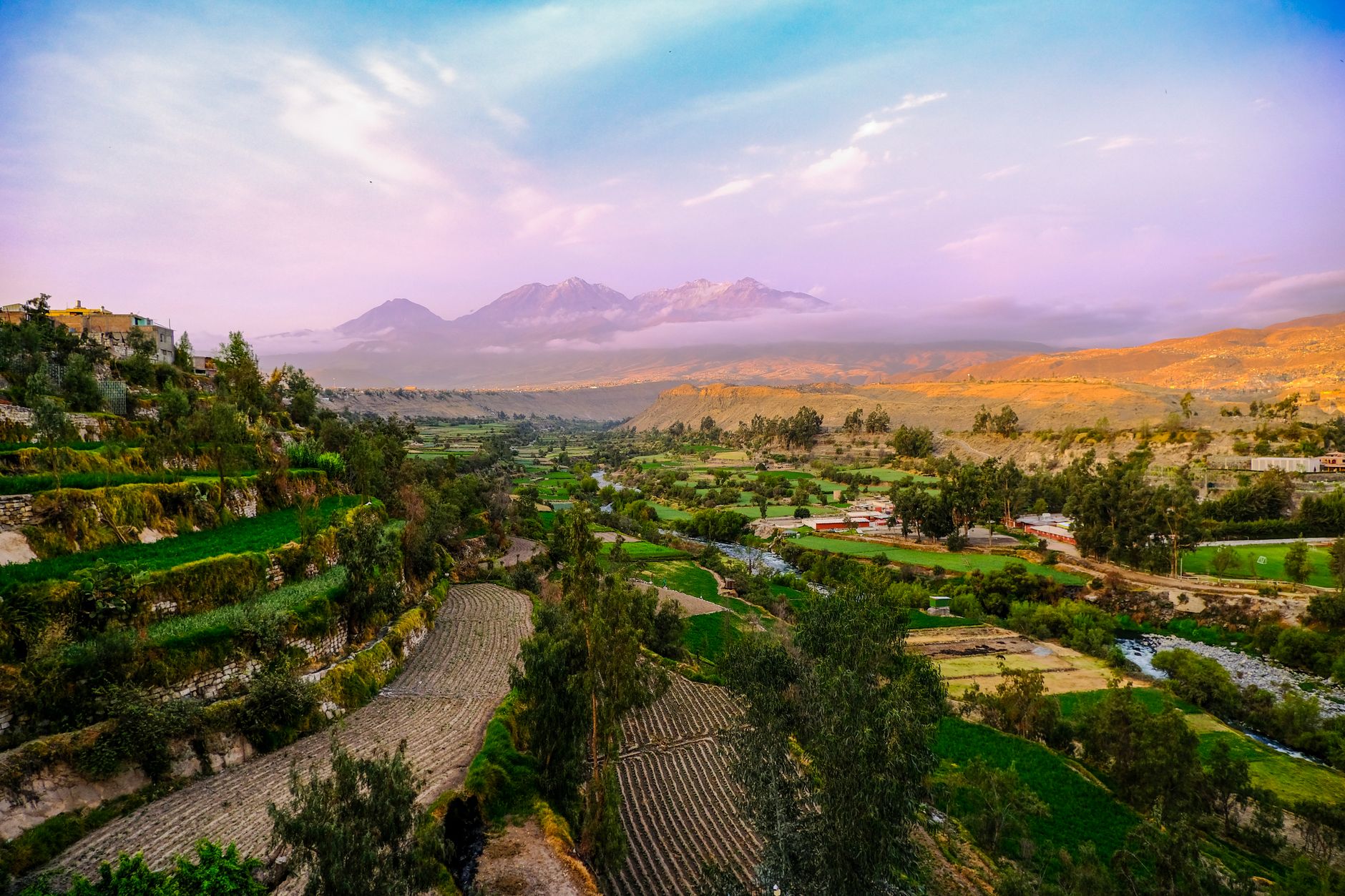
The crater view from the rim at sunrise, before the clouds move in from the west, is the kind of thing that ends up stuck in a hiker’s memory for years. The lake below shifts from dark grey to green depending on the angle of light and the time of day, and the silence at that altitude – no crowds, no narration, no audio guides – is total. The question serious hikers are now asking isn’t whether the Quilotoa Loop deserves more attention. It’s whether more attention will change the thing that makes it worth the trip in the first place.
Frequently Asked Questions
How long does the Quilotoa Loop take to hike?
Most hikers complete the full loop in three to four days, though fit trekkers with altitude experience occasionally do it in two.
Do you need a guide for the Quilotoa Loop?
Most hikers do the loop independently, but signage is inconsistent, so downloading a GPS track or picking up directions from village guesthouses is strongly recommended.