The Trail Less Traveled in Jordan
Most travelers who land in Amman have one destination circled on their map: Petra. The rose-red city is magnificent, and no one disputes that. But roughly 50 kilometers to the north, the Dana Biosphere Reserve sits on a sandstone plateau dropping into a canyon so vast and varied that hikers who stumble upon it tend to wonder why it took them so long to find it. Dana is not hidden, exactly. It just rarely gets the headline.
Covering around 320 square kilometers, Dana is Jordan’s largest nature reserve, managed by the Royal Society for the Conservation of Nature. It spans four distinct bio-geographical zones, from Mediterranean highlands to desert wadis, making it ecologically unusual for a country better known for ancient ruins than wilderness trails. The hiking infrastructure here has matured quietly over the past decade, and the reserve now draws a specific kind of traveler – one who wants elevation change, silence, and genuine terrain.
What the Trails Actually Offer
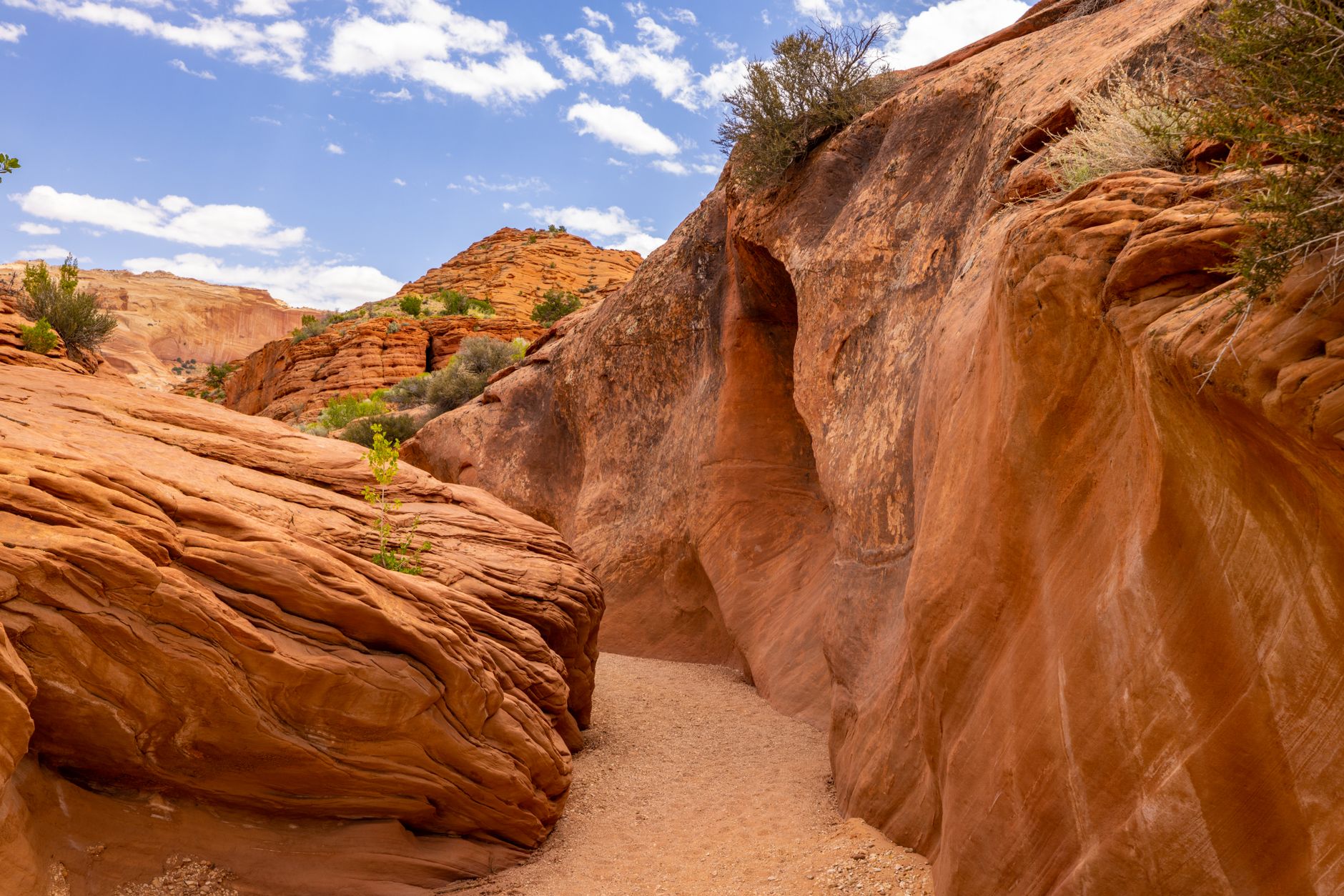
The flagship route is the Wadi Dana Trail, a full-day descent of roughly 14 kilometers from the village of Dana down to Feynan Lodge on the edge of Wadi Araba. The drop in elevation is dramatic – around 1,200 meters over the course of the hike – and the landscape shifts almost cinematically as you descend from juniper forest into pale, heat-baked desert. By the time Feynan comes into view, it feels less like a lodge and more like a mirage earned through effort.
A shorter but arguably more spectacular option is the Rummana Campsite loop, which runs through oak and wild pistachio trees with unobstructed views across the canyon. Early morning starts here pay off: the light hits the sandstone walls in a way that makes the entire reserve feel amber-tinted, and wildlife sightings – including ibex and sand partridges – are genuinely common before 8 a.m. The campsite itself sits at roughly 1,500 meters above sea level, which means cool nights even in summer, a rare commodity in this region.
What sets Dana apart from other Middle Eastern hiking destinations is not just the scenery but the vertical range. A single multi-day traverse can take you from alpine-adjacent conditions at the top of the reserve to Saharan-style terrain at the bottom, passing through copper-mining ghost towns and Byzantine ruins along the way. The historical layering here rivals anything you would encounter at a dedicated archaeological site.

Logistics Without the Crowds
Getting to Dana requires either a rental car or a pre-arranged transfer from Aqaba or Amman. There is no reliable public bus service that deposits you at the reserve entrance, which is part of why visitor numbers remain manageable. That friction is a feature for hikers who have grown tired of fighting tour groups for a clear view.
Accommodation ranges from the eco-lodge at Feynan – which runs entirely on solar power and serves meals cooked over open fires – to simple guesthouses in Dana village itself, where stone buildings cling to the canyon edge. Feynan in particular has developed a reputation among slow-travel circles as one of the more atmospheric places to sleep in the entire Levant region. Booking ahead is necessary during spring and autumn, when trail conditions are at their best.
Why Dana Stays Under the Radar
Petra’s dominance in Jordanian tourism marketing is both understandable and slightly distorting. Jordan’s tourism board has historically concentrated promotional energy on the Nabataean city, Wadi Rum, and the Dead Sea – a trio that can be visited in three days without venturing off the main tourist corridor. Dana sits just outside that corridor, which means many itineraries skip it entirely without ever registering the loss.
There is also a perception issue. Jordan is not immediately associated with hiking in the way that, say, Nepal or Patagonia is. Travelers arriving with expectations of ruins and desert safaris sometimes miss the fact that the country has serious alpine terrain. The Jordan Trail, a 650-kilometer long-distance route completed in 2017, passes directly through Dana and has begun attracting a dedicated community of thru-hikers, but awareness outside specialist hiking communities remains relatively low.
The reserve’s conservation status actually works in its favor logistically. Because the Royal Society for the Conservation of Nature controls access and manages the trails, the paths are maintained to a reasonable standard and guided options are available for hikers who want ecological context alongside the physical challenge. Local Bedouin guides from the surrounding communities lead most of the organized treks, and their knowledge of the terrain – including water sources and microclimates – is detailed in a way that no app replicates.
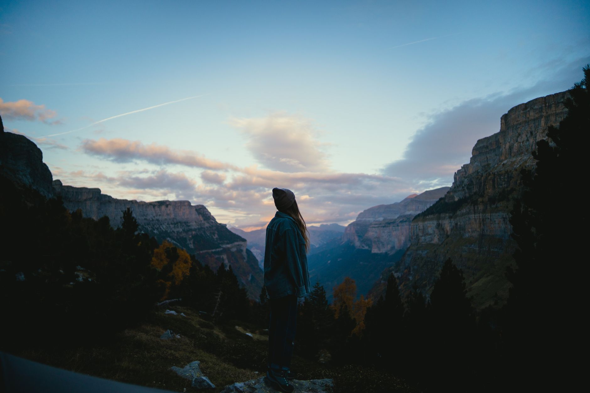
Spring is the obvious window: wildflowers cover the upper plateau in March and April, temperatures are stable, and the wadis still carry some water from winter rains. But the autumn shoulder season, from late September through November, offers its own case – cooler air, emptier trails, and a quality of light that photographers who have been tend to describe in terms that sound like exaggeration until you see it yourself. The one thing no one debates is the silence. On a Tuesday morning in October on the Wadi Dana Trail, you can walk for three hours without seeing another person. That is not a small thing to offer anymore.
Frequently Asked Questions
How difficult is the Wadi Dana Trail?
The Wadi Dana Trail is a full-day, 14-kilometer descent dropping around 1,200 meters. It requires good fitness and sturdy footwear but no technical climbing skills.
What is the best time of year to hike in Dana Biosphere Reserve?
Spring (March-April) and autumn (late September-November) offer the most stable temperatures and best trail conditions. Summer is hot at lower elevations but manageable at higher campsites.