Lesotho’s Maluti Mountains Quietly Rival the Drakensberg for Highland Trekkers
Lesotho sits entirely above 1,400 meters, making it the only country on Earth with every square kilometer of its territory at that altitude or higher. That geological fact alone shapes everything – the light, the cold, the silence, and the kind of walking it demands from anyone who comes here looking for serious highland terrain.
A Kingdom That Earns Its Reputation on Foot
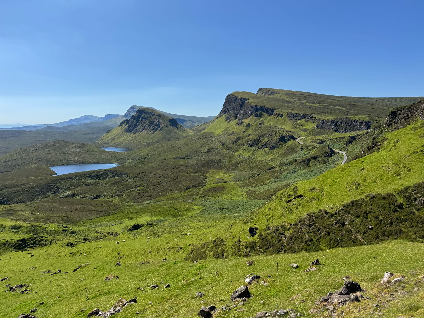
The Maluti Mountains run through the western and central regions of Lesotho like a rough draft of something wilder further east. They are not as vertically dramatic as the Drakensberg escarpment that forms Lesotho’s border with South Africa’s KwaZulu-Natal province, but they offer something the Drakensberg’s popular trails often cannot – near-total solitude. On a five-day traverse through the Malutis, a trekker might pass through three or four villages and encounter no other hikers at all. That kind of quiet is increasingly rare in southern Africa’s highland corridor.
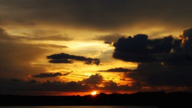
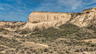
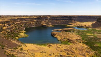
The terrain rewards patience. The Malutis are plateau country, which means long rolling approaches before the landscape breaks into gorges and river valleys cut by the Senqu – the upper Orange River – and its tributaries. Routes tend to follow ridgelines at altitudes between 2,500 and 3,100 meters, with the air thin enough to slow even experienced walkers on the first day. The sky here has a particular quality that photographers who have worked in highland environments immediately notice – the light at altitude behaves differently, sharper and more directional, without the atmospheric haze that softens lowland landscapes.
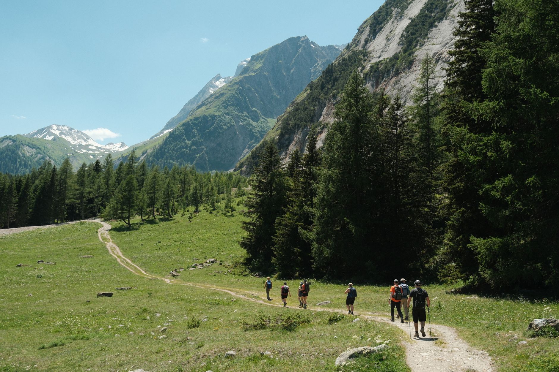
Pony trekking has historically been the dominant way to move through Lesotho’s highlands, and the Basotho pony – a hardy breed developed over centuries at altitude – remains central to how rural communities navigate terrain that roads rarely reach. A growing number of trekkers are now combining on-foot travel with pony support, using the animals to carry gear and supplies while walking the routes themselves. This hybrid approach extends what’s possible in a single trip and opens sections of the Malutis that would otherwise require more logistical infrastructure than most independent travelers carry.
The Ts’ehlanyane National Park, in the northern Malutis near the town of Butha-Buthe, functions as a practical entry point for hikers who want marked trails and some base infrastructure before heading into more remote terrain. The park protects one of the last significant stands of Leucosidea sericea, a montane shrub woodland that has largely disappeared elsewhere in Lesotho due to grazing pressure. Walking through it in the early morning, when mist sits low across the valley floors, produces a landscape that looks more Central African than southern African – an unexpected visual register for first-time visitors to the kingdom.
What the Drakensberg Comparison Actually Means for Route Planning
The Drakensberg is a UNESCO World Heritage site and carries the trail infrastructure to match. The Royal Natal National Park, the Giants Castle area, and the Ukhahlamba-Drakensberg Park system collectively offer hundreds of kilometers of marked trails, mountain huts, and conservation-managed campsites. Lesotho’s Malutis offer almost none of that – and for a specific kind of highland trekker, that absence is the entire point.
Planning a Maluti traverse requires more preparation than booking a Drakensberg circuit. Accommodation in the highlands typically means village homestays or small community lodges rather than dedicated trekking huts. The Malealea Lodge in the Mafeteng district has been the most established base for organized highland trekking for decades, offering guided routes and pony treks into surrounding valleys. Further north and east, options thin out considerably, and self-sufficient camping becomes the default. Water sourcing from mountain streams is generally reliable at higher elevations, though purification is essential throughout.
Navigation is legitimately challenging in the central highlands. Lesotho has no equivalent to the detailed topographic trail maps that cover most of the Drakensberg, and GPS tracks shared through hiking communities are the most practical resource currently available. The country’s 1:50,000 survey maps exist but can be difficult to source before arrival. Trekkers who have completed long routes in the Malutis consistently report that local guides – arranged through villages or lodges – make the difference between a confident traverse and an expensive route error in remote terrain.
The weather window matters enormously. Lesotho’s highland summer runs from October through April, which also happens to be the rainy season. Afternoon thunderstorms are common from November onward, and lightning at ridge altitude is a serious risk. The preferred trekking window sits between late April and September, when the highlands are dry and clear but temperatures drop sharply overnight, sometimes well below freezing even at midsummer. Snow is possible at any time of year above 3,000 meters. The same high-altitude trekking preparation that applies to routes like Ecuador’s Quilotoa Loop – layering systems, altitude acclimatization, conservative daily distance targets – applies directly here.
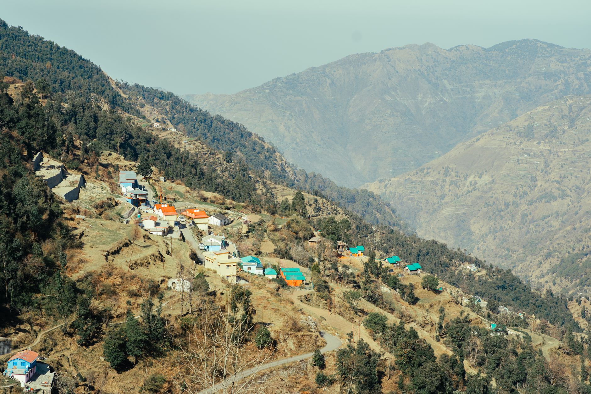
The cultural dimension of trekking in Lesotho sits differently than in most highland destinations. Lesotho is a constitutional monarchy with a distinct national identity that predates the colonial boundary-drawing that created southern Africa’s modern map. The Basotho blanket – worn by men and women in the highlands as both practical insulation and cultural marker – is still a working garment, not a tourist artifact. Villages passed on a highland traverse are not staged for trekkers. They are functioning agricultural communities at altitude, and the interaction between visiting hikers and local residents carries a weight that takes a day or two to calibrate correctly.
The Logistics of Getting There and Moving Through
Access to Lesotho from South Africa is straightforward at the major border crossings – Maseru Bridge from Bloemfontein being the main entry point, with the Sani Pass road crossing from KwaZulu-Natal offering a more dramatic highland arrival by 4×4 vehicle. The Sani Pass route itself climbs through the Drakensberg escarpment to reach Lesotho’s southern highlands plateau, and the border post at the top sits at roughly 2,874 meters, making it the highest border crossing in Africa. Arriving this way resets a traveler’s sense of what the country actually is – not an enclave within South Africa but a plateau above it.
Maseru, the capital, provides the practical logistics: currency exchange, gear supplementation if anything was forgotten, and transport connections to highland districts. The road network connecting Lesotho’s district towns has improved considerably over the past decade, but many highland trailheads are still reached by dirt road in conditions that require either a high-clearance vehicle or local transport arrangements made through lodges in advance. The actual walking, once it begins, is where Lesotho stops requiring explanation and starts making its own argument.
The Drakensberg will likely remain the default highland choice for most travelers approaching southern Africa – the infrastructure is there, the marketing is consistent, and the scenery is objectively extraordinary. What the Malutis offer is the version of that experience before it was organized for consumption. Whether that trade is worth the extra planning effort is a question each trekker eventually answers for themselves, usually somewhere on a ridgeline with no one else in sight and a village fire visible in the valley below.
Frequently Asked Questions
Is trekking in Lesotho’s Maluti Mountains suitable for beginners?
The Malutis are best suited to experienced trekkers. Altitude, limited trail markings, and minimal infrastructure make route-finding and self-sufficiency skills important.
When is the best time to trek in the Maluti Mountains?
Late April through September offers the driest and clearest conditions, though overnight temperatures can drop well below freezing. Avoid the November-March rainy season for ridge routes.
Do I need a guide to trek in the Maluti highlands?
A guide is strongly recommended. Detailed trail maps are scarce, GPS tracks from hiking communities help, and local guides arranged through highland lodges significantly reduce navigation risk.