
The Caves Above the Clouds
Nepal’s Mustang District sits at the northwestern edge of the country, tucked behind the Ananda Himal range in a rain shadow that keeps it dry while the rest of Nepal drowns in monsoon. Most trekkers filing through Kathmandu’s Tribhuvan Airport have their eyes fixed firmly on Everest Base Camp or the Annapurna Circuit. Mustang, with its crumbling palace city of Lo Manthang and its cliffs riddled with thousands of hand-carved caves, barely registers on their itineraries – and that is precisely why it should.
A Landscape Cut from Silence
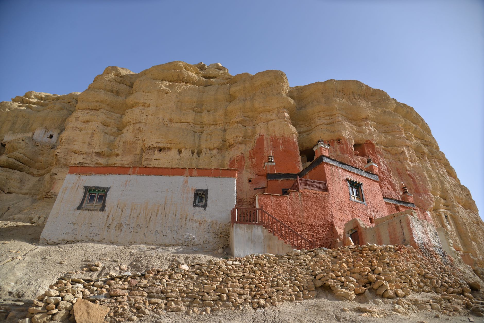
The terrain of Upper Mustang reads like a different planet from the green trekking corridors most Nepal visitors know. Red and ochre cliffs rise from a high-altitude desert that receives less than 300 millimeters of rainfall annually, leaving the landscape raw, eroded, and almost lunar. Wind carves the canyon walls into columns and overhangs. The Kali Gandaki gorge – one of the deepest on Earth – slices through the region, and the villages that dot its upper reaches feel geographically and culturally closer to Tibet than to Kathmandu. This isolation is the reason Mustang remained a restricted zone for foreign visitors until 1992, and even now requires a special permit that costs considerably more than a standard trekking pass.
The cave systems embedded in those cliffs are the true draw for a specific kind of traveler. Archaeologists have catalogued more than 10,000 caves across the Mustang cliffs, many of them clustered in formations that suggest organized community living rather than casual shelter. Some are carved into vertical rockfaces at heights that make their original access almost impossible to explain – 50 meters or more above any current ground path, requiring ropes and climbing harnesses just to reach. The working theory among researchers is that water erosion once brought the valley floor much closer to those cave openings, and centuries of scouring simply left them stranded mid-cliff.
What was found inside several of those elevated chambers changed how researchers understood the ancient trade and spiritual networks of the Himalayas. Murals painted in mineral pigments dating back roughly 1,000 years cover interior walls, depicting Buddhist iconography in styles that blend Tibetan, Nepali, and Central Asian influences. Human skeletal remains, wooden artifacts, and manuscripts have been recovered from sealed chambers – the manuscripts alone representing a literary archive from a period when very little written material from this region survived elsewhere. The cave interiors acted as a natural preservation vault, the dry cold air doing what no human archive system could have managed over a millennium.
Getting there is not simple. The standard entry point is Jomsom, connected to Pokhara by a short flight that is frequently delayed or cancelled due to wind. From Jomsom, the route to Lo Manthang – the walled capital of the former Kingdom of Lo at the district’s northern end – covers roughly 75 to 80 kilometers one way. Most trekkers take 8 to 10 days to reach Lo Manthang, moving through villages like Kagbeni, Chele, Syangboche, and Ghami. The terrain is high and arid, with passes that push above 3,800 meters. There is no jungle canopy, no dense vegetation to soften the exposure. The wind is constant and often brutal. None of that is a deterrent to the travelers who come specifically for the caves.
What the Caves Actually Offer
The experience of visiting Mustang’s cave complexes is fundamentally different from hiking a popular Himalayan trail. Everest Base Camp delivers a singular, well-defined goal: reach the glacier, photograph the Khumbu Icefall, feel the altitude. Mustang offers something harder to name – a landscape of accumulated mystery, where each eroded cliff might conceal another sealed chamber, another fragment of a culture that thrived here when this corridor was a major salt-trading artery between Tibet and the lowlands of Nepal. The caves are not a single monument. They are distributed across the entire district, folded into the terrain at irregular intervals, some documented and accessible, others still unexcavated.
Mustang First is a village cluster near Lo Manthang where several cave complexes sit within walking distance of each other, allowing travelers to move between painted chambers and storage grottos in a single afternoon. The Luri Gompa cave temple is carved directly into a cliff face approximately three days south of Lo Manthang and contains some of the most intact murals in the region, including a rare Kalachakra mandala. Chhoser, north of Lo Manthang, features the Sky Caves – a vertical face honeycombed with dozens of openings that local guides can lead visitors to with ropes. These are not theoretical experiences reserved for academic expeditions. They are accessible to trekkers willing to carry the right permit and the physical condition to handle high altitude.
The permit structure itself shapes the visitor profile. The Restricted Area Permit for Upper Mustang runs at a rate set by the Nepal government – currently structured at a fixed cost per ten days with additional daily fees beyond that – making it one of the more expensive individual trekking permits in the country. That cost filters the visitor pool toward travelers who have already committed serious resources to the trip, which in turn keeps trail traffic genuinely low. On the Annapurna Circuit, a single tea house might host dozens of trekkers on a busy night. In Upper Mustang, encountering another group on a full day’s walk is not guaranteed.
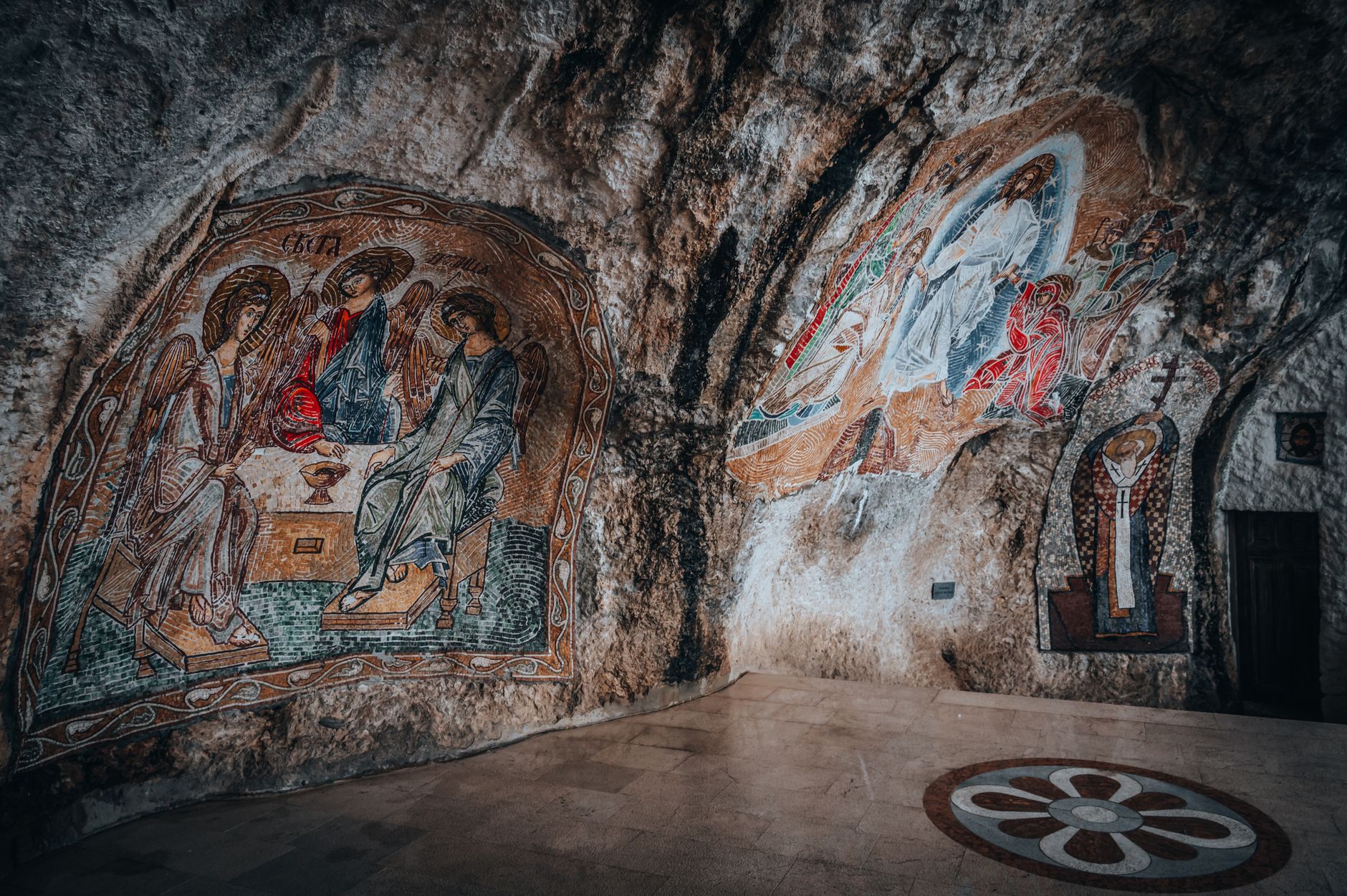
The cultural dimension of Mustang’s caves extends beyond the archaeological. Several cave sites remain active in local religious practice, with monks from nearby gompas maintaining lamps or holding ceremonies in chambers that look unchanged from the murals painted on their walls. The living tradition running parallel to the archaeological significance gives the region a texture that purely ruined sites lack. The former Kingdom of Lo was an independent political entity until 2008, when its final king, Jigme Dorje Palbar Bista, formally dissolved the monarchy following Nepal’s own abolition of its monarchy. The royal palace in Lo Manthang still stands, and members of the Lo royal family remain in the city.
Logistics are improving, cautiously. A road from Jomsom to Lo Manthang now exists, and some travelers complete the route by jeep rather than on foot. That road has shortened supply chains for villages that once waited weeks for goods to arrive by mule, but it has also introduced a new category of visitor – those who drive up for a quick look and drive back. The trekking community in Mustang tends to be skeptical of this, not from any romantic attachment to difficulty for its own sake, but because the road bypasses many of the secondary cave sites that only reveal themselves to people moving at foot speed through the canyon landscape.
Timing and the Wind
The optimal window for Mustang falls between late March and early November, covering the pre-monsoon spring and the post-monsoon autumn, but the calculus here differs from standard Nepal trekking advice. Because the district sits behind the Ananda Himal, it stays walkable even during the June-to-August monsoon months when the rest of Nepal is waterlogged. The trade-off is the afternoon wind. The Kali Gandaki funnels a thermal current northward every afternoon with enough force to make forward progress genuinely difficult between about 1 p.m. and 4 p.m. Experienced Mustang trekkers start moving by 6 a.m. and stop before noon, structuring their days around the wind rather than fighting it.
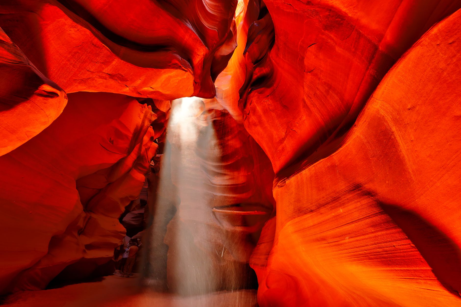
What no one who visits Mustang adequately prepares for is the quality of the light. The dry air and high elevation produce a clarity that makes the ochre cliffs glow against a sky that runs from pale turquoise at the horizon to deep cobalt overhead, with no haze to soften the contrast. Photographs taken here at golden hour look processed even when they are not. That light is the thing travelers describe most when they return – not the caves, not the altitude, not even the murals – just the way the afternoon sun hits the canyon walls and makes the whole landscape look briefly, unexpectedly, like something that should not exist this far from anywhere.