Where Turkey’s Mountain Country Begins
Most travelers who land in Turkey head straight for Cappadocia’s fairy chimneys or the turquoise coastline of the Aegean. The Kaçkar Mountains, tucked into the northeastern corner of the country along the Georgian border, rarely make those shortlists. That’s not an accident of geography – it’s the result of a tourism industry that found its grooves decades ago and hasn’t had much reason to reroute traffic.
But the Kaçkars are pulling a different kind of traveler now.
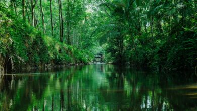
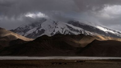
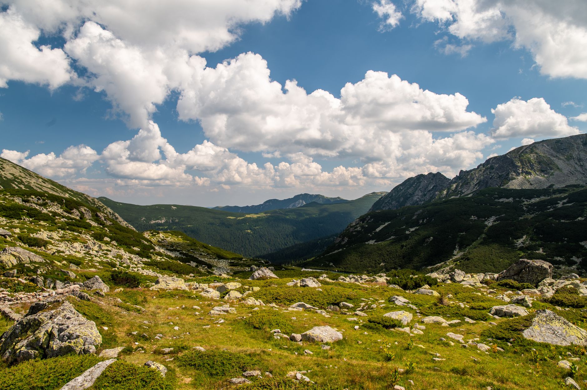
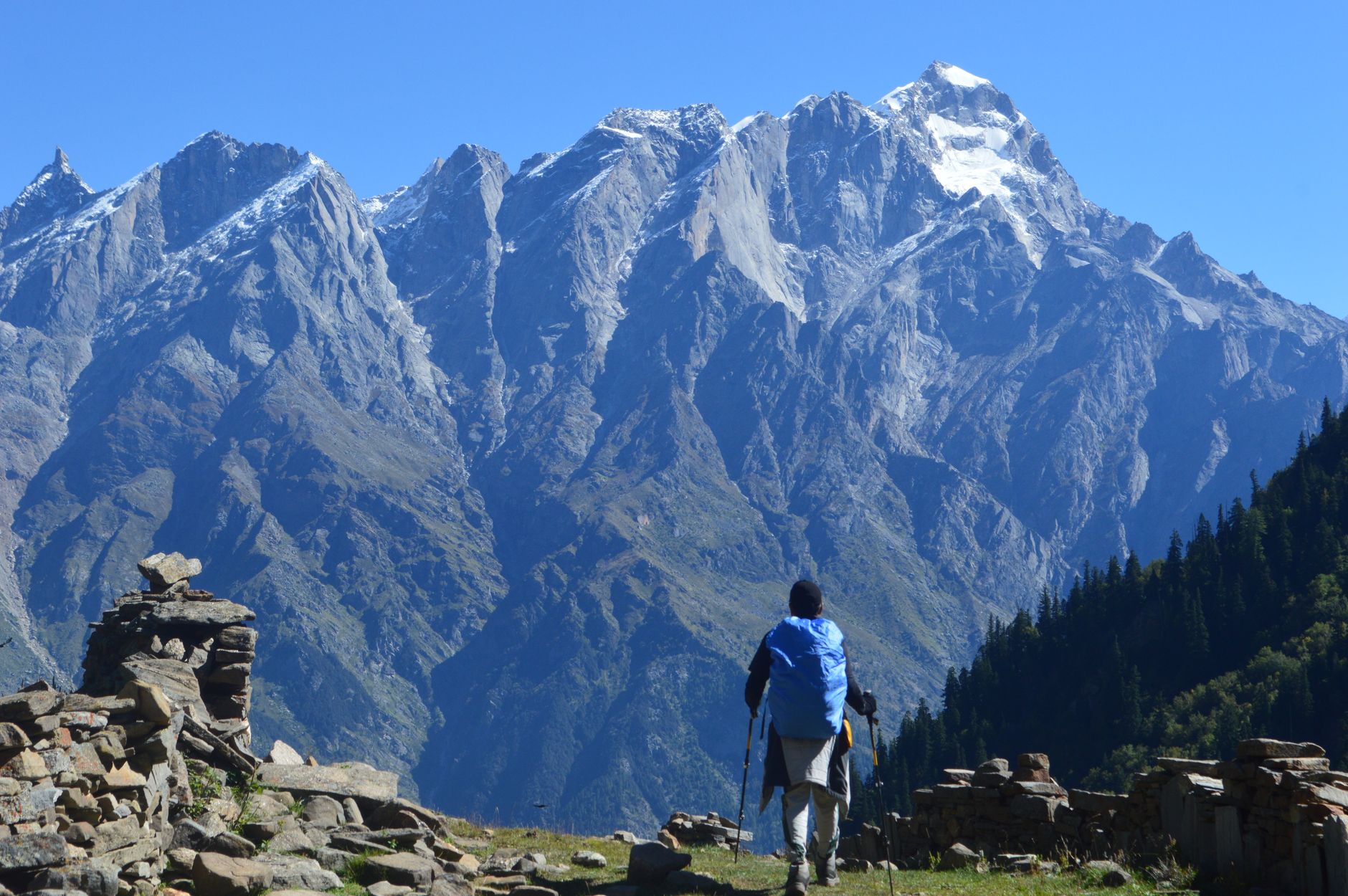
The range runs roughly 60 kilometers through the Rize and Artvin provinces, rising sharply from the Black Sea coast into glacially carved highlands where yaylas – traditional summer plateau villages – sit at elevations above 2,000 meters. The terrain shifts dramatically depending on where you stand: dense tea plantations and humid forest on the lower slopes, then alpine meadows, glacial lakes, and rocky ridgelines as you climb. The highest point, Mount Kaçkar, reaches 3,937 meters – modest by Himalayan standards, but demanding enough to separate casual walkers from serious trekkers.
The Routes That Define the Region
The most traveled route crosses the range from the Black Sea side to the Coruh River valley, typically taking five to seven days at a steady pace. Trekkers usually enter through the village of Ayder on the northern slope, a small spa town known for its thermal baths, and exit near Yusufeli in the south. The path crosses multiple high passes – the most significant being Kaçkar Pass at around 3,400 meters – and threads through half a dozen highland villages where Georgian-influenced stone architecture still stands. A growing number of trekking agencies based in Ayder offer guided versions of this crossing, though experienced mountain walkers regularly complete it independently with a good topographic map and solid weather planning.
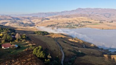
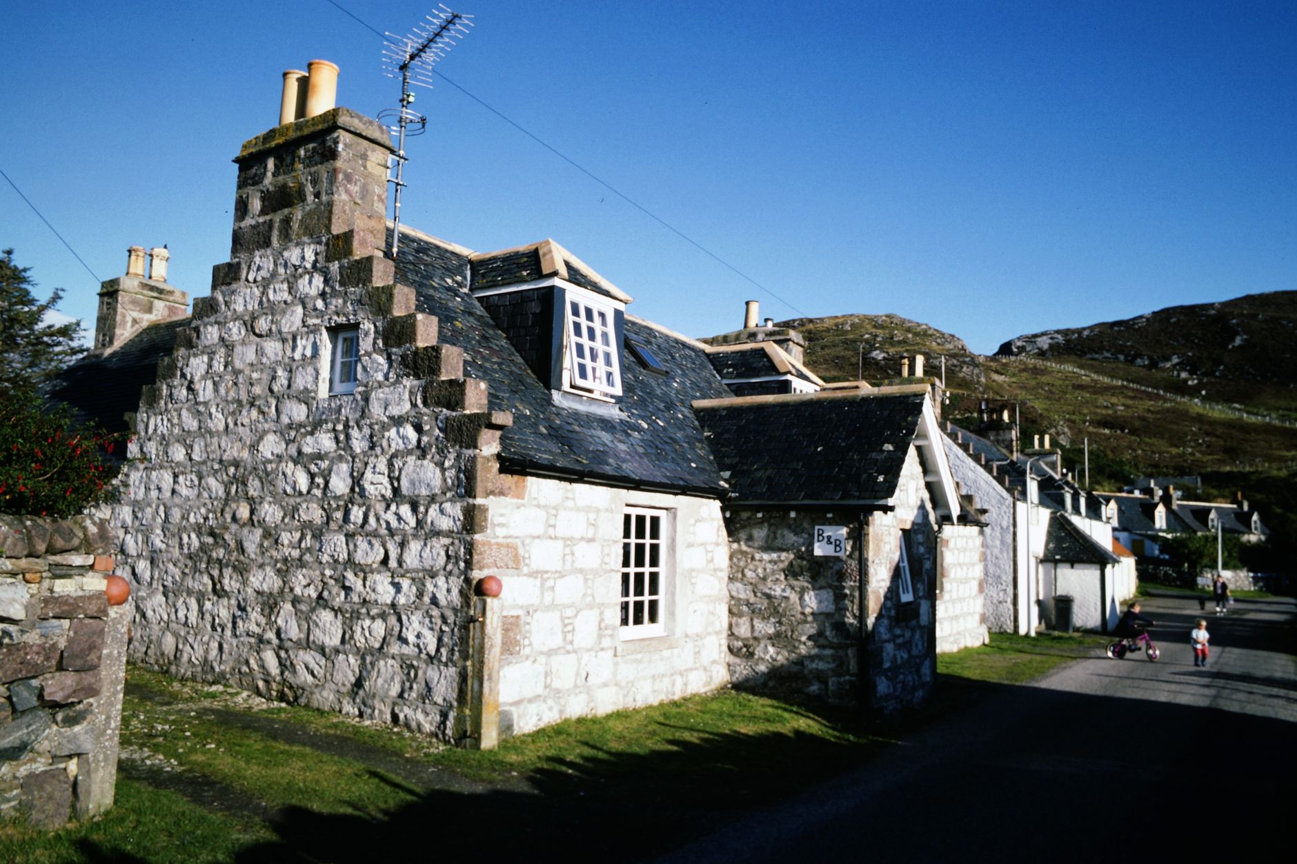
What makes the Kaçkars distinct from other Turkish trekking destinations isn’t just elevation – it’s the cultural density packed into a compact area. The northeastern Black Sea region has its own dialect, its own folk music (the tulum bagpipe is still played at village festivals), and a culinary tradition built around cornbread, butter, and local cheeses that bears little resemblance to the kebab-and-meze template most visitors associate with Turkey. Staying in a yayla guesthouse rather than a trail hut means eating what the family eats, which is often extraordinary.
There are also shorter, less committing options for travelers who want mountain scenery without a multi-day crossing. The area around Pokut and Sal yaylas on the northern side offers day hikes through wildflower meadows with views toward the Georgian border ranges. Dilber Düzü, a glacial plateau at around 3,200 meters, can be reached in a long day from Ayder and regularly stops hikers cold with its stillness.
Logistics, Timing, and the Real Challenges
Getting to the Kaçkars requires commitment. The nearest airport with regular service is in Trabzon, a two-to-three-hour drive west along the Black Sea coast from Ayder. Some travelers arrive via Rize, which is slightly closer. Domestic flights from Istanbul and Ankara connect to Trabzon reliably, and from there minibuses and shared taxis serve the mountain villages – though schedules thin out quickly once you’re past the main coastal road. Renting a car in Trabzon is the most practical option for anyone planning to move between multiple trailheads.
The trekking season runs from late June through September. The Kaçkars receive heavy precipitation from the Black Sea, and the northern slopes stay green and lush well into August – but that moisture also means cloud cover and afternoon thunderstorms are common even in midsummer. Snow lingers on the high passes into early July most years, and the window for crossing the main ridge without crampons and ice axes is shorter than the calendar suggests. September offers cleaner skies and fewer crowds, though accommodation in the smaller yaylas begins closing as families descend for winter.
Infrastructure is thin but functional. Ayder has guesthouses, a handful of small hotels, and the thermal baths that serve as an unofficial base camp for the region. Higher up, families in the yayla villages rent out rooms and provide meals informally – there’s no booking system, which is either charming or stressful depending on your tolerance for uncertainty. Mobile coverage drops off quickly once you’re above the lower villages, and the trails are not uniformly marked. A satellite communicator is worth carrying, and Turkish mountain rescue, while real, operates under conditions very different from the Alps.
Why This Moment Feels Different
The Kaçkars haven’t changed much. What’s changed is the appetite among trekkers – particularly those who’ve already cycled through the marquee Central Asian and Himalayan routes – for places where the trail infrastructure is thin, the villages are still primarily agricultural rather than tourist-facing, and the landscape hasn’t been shaped around visitor expectations. For trekkers drawn to that kind of destination, the same instinct that sends people toward Tajikistan’s Wakhan Corridor is now pointing, quietly, toward northeastern Turkey – a range that has been there all along, waiting for the right traveler to ask the right question.