
Where the Black Sea Meets the Alpine
Cappadocia has the fairy chimneys, the hot air balloons, the Instagram saturation. But tucked into Turkey’s northeastern corner, where the Black Sea coast rises sharply into a chain of glacial peaks and high summer pastures, the Kaçkar Mountains have been quietly running a very different kind of operation – one built not on spectacle, but on sustained reward.
A Range That Earns Its Reputation Step by Step
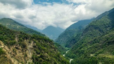
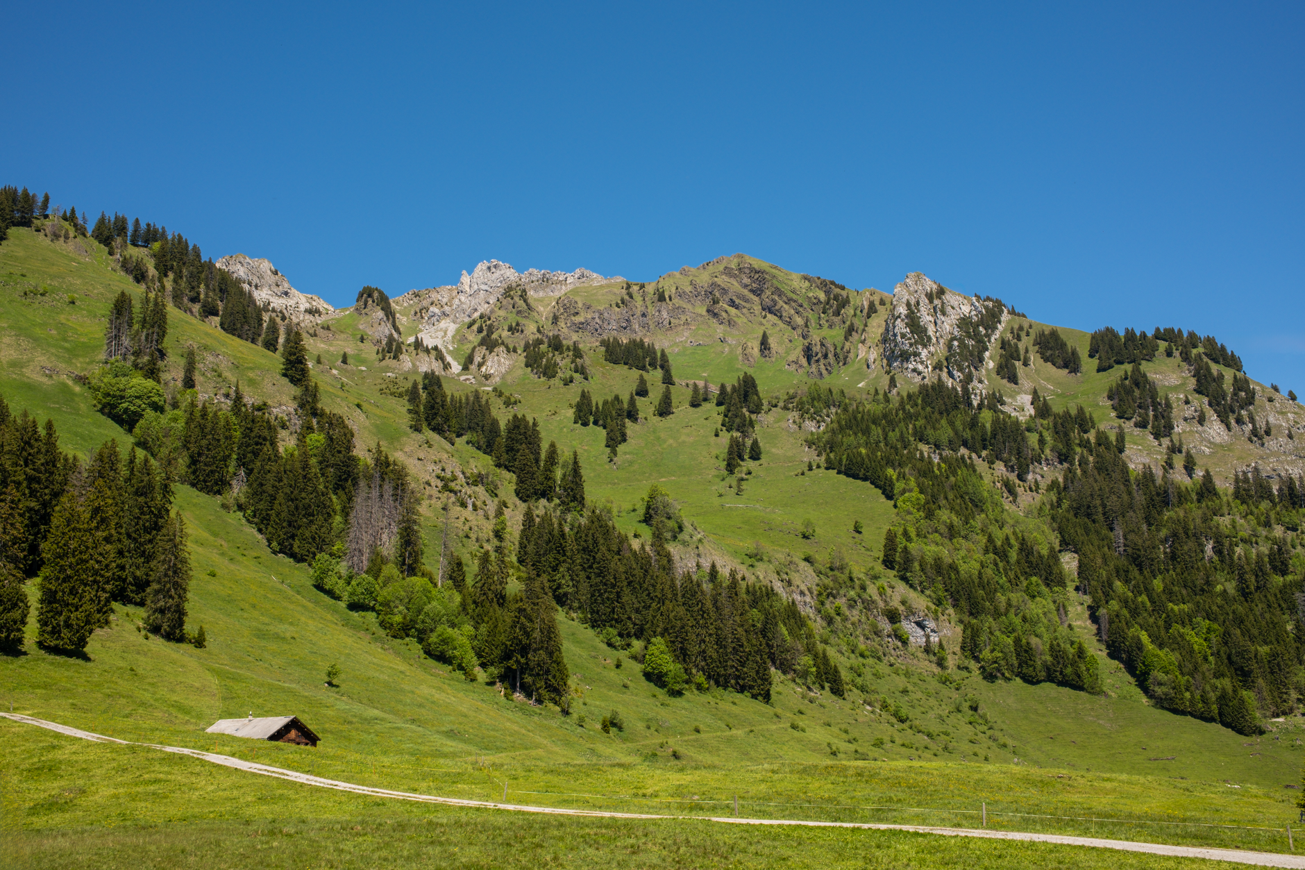
The Kaçkars form the highest section of the Pontic Alps, stretching roughly parallel to the Black Sea coastline in the Rize and Artvin provinces. The range tops out at Kaçkar Summit, which sits just above 3,900 meters – high enough to hold permanent snowfields, host alpine wildflowers from late June through August, and produce the kind of raw weather that makes a morning of blue sky feel like a gift. For trekkers who have spent years chasing altitude across Central Asia or the Indian subcontinent, this range holds up entirely on its own terms.
The terrain transitions fast. The southern slopes – the so-called “dry side” – drop into the Çoruh River valley, which carries a drier, more dramatic character: exposed ridgelines, rocky moraines, and the occasional shepherd track that hasn’t been maintained since someone’s grandfather used it. The northern, Black Sea-facing slopes are the opposite: dense with rhododendron forests, fed by heavy rainfall, and cut through with rivers that run cold even in July. Both sides demand attention, and neither is particularly forgiving to hikers who underestimate them.
The main trekking route, the Kaçkar Circuit, takes most fit walkers between five and nine days to complete, depending on how many side valleys and summit attempts they factor in. The circuit passes through a series of yayla – high-altitude pastures where semi-nomadic herders bring their cattle and sheep each summer. These aren’t tourist setups. The stone huts and tea-fire gatherings are part of an agricultural calendar that predates Ottoman rule, and trekkers who pass through are largely guests in a working landscape, not a curated experience.
Trail infrastructure exists but is uneven. Guesthouses operate in villages like Ayder, Olgunlar, and Yaylalar, and a growing number of local operators run guided multi-day tours from Rize or Erzurum. But waymarking on higher sections remains inconsistent, and navigating the upper crossings between valleys – particularly the passes like Kaçkar Pass and Derebasi – requires either a reliable GPS track or a guide who knows the route by memory. This is not a trail that tolerates careless planning.
The Culture That Lives at Altitude
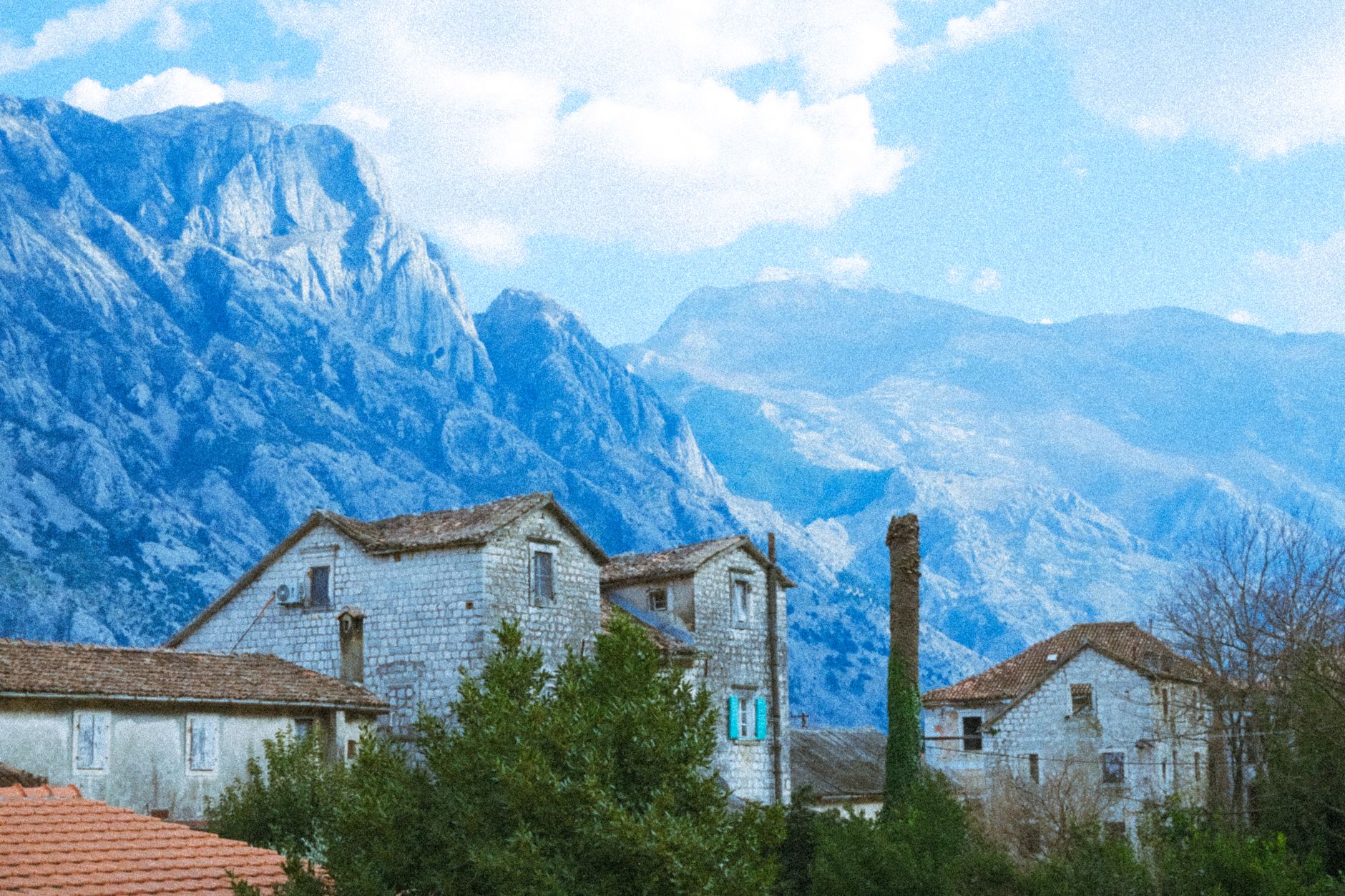
What separates the Kaçkars from many comparable alpine destinations is how intact its highland culture remains. The Laz and Hemshini peoples who inhabit the Black Sea foothills and high pastures have maintained distinct languages, musical traditions, and food cultures that sit well outside the mainstream Turkish tourism conversation. A trekker staying in an Ayder guesthouse on the same evening might share a dinner of muhlama – a dense, stretchy fondue made from cornmeal and local cheese – alongside a herder family who drove their animals up the slope that same morning.
The Hemshini community in particular has drawn attention from ethnographers and cultural travelers for their preservation of a language related to Armenian, their distinctive embroidered headscarves worn by women on the high pastures, and their hospitality rituals around tea – which in this corner of Turkey is grown locally, on the steep terraced gardens that cascade down toward Rize. The region produces a significant portion of Turkey’s black tea supply, and the tea garden landscapes on the lower slopes are as visually striking as anything in the highlands above them.
Villages on both sides of the range have been absorbing trekkers long enough that the dynamic is generally smooth. Locals have opinions about route conditions, weather windows, and which crossings are still snowbound in early June, and they share that information freely – partly from habit, partly because a misinformed trekker creating a rescue situation is genuinely disruptive to communities that would respond to it. The relationship between trekker and village here runs on a different logic than it does in more commercialized mountain destinations.
For trekkers who have followed highland routes in places like Pakistan’s Hunza Valley, the Kaçkars will register on a familiar frequency – mountain communities that are genuinely hospitable rather than hospitality-trained, and landscapes that feel earned rather than packaged. The comparison isn’t forced; both regions share the quality of rewarding trekkers who arrive with patience rather than a checklist.
Ayder, the most accessible entry point on the northern side, has grown noticeably busier over the past decade, particularly during summer weekends when Turkish domestic tourists arrive for the thermal baths and the cooler mountain air. The village center has become more commercial as a result, with guesthouses and tea stalls multiplying along its main lane. But Ayder functions best as a logistics base rather than a destination, and most serious trekkers push past it quickly – moving into the upper valleys where the density drops off and the actual walking begins.
When to Go and What to Expect
The Kaçkar trekking season is short. High passes are typically clear of snow by mid-June and begin closing again by late September, with the absolute sweet spot falling in July and August when the wildflower bloom on the southern slopes peaks. That window also coincides with the yayla season – when the highland pastures are occupied and the chance of sharing a fireside with a herding family is at its highest. September offers quieter trails and sharper air, though the risk of early-season snowfall on the upper elevations requires contingency planning.
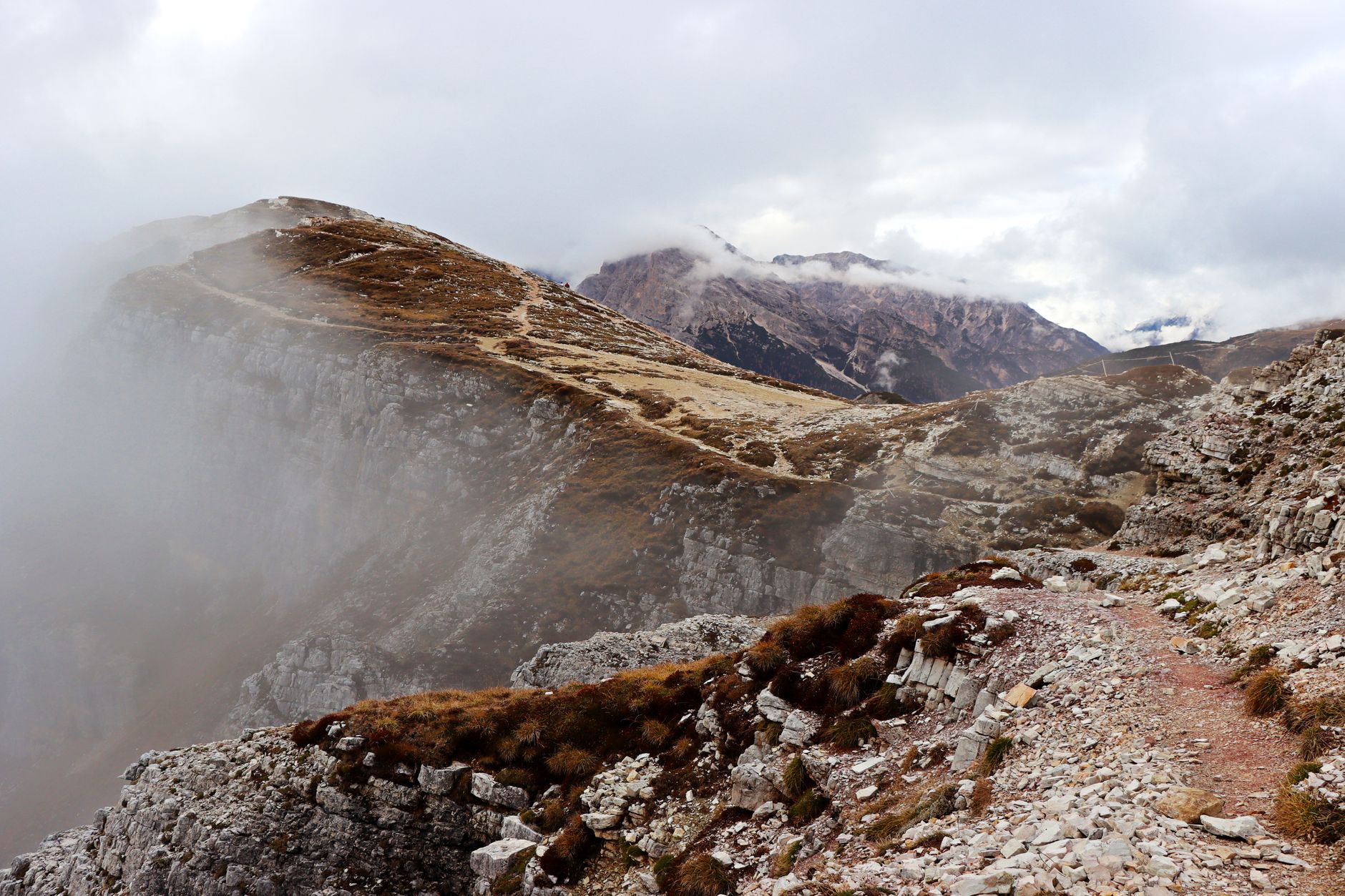
Gear expectations should match genuine alpine conditions: temperatures above 3,000 meters can drop well below freezing at night even in August, afternoon thunderstorms develop quickly on the exposed ridgelines, and the Black Sea side’s chronic moisture means wet gear stays wet longer than trekkers from drier mountain ranges might expect. A three-season tent rated for wind, waterproof layers, and trekking poles for moraine crossings are the baseline. Whether you navigate with a local guide or a downloaded GPX file, the range doesn’t particularly care which you choose – only that you’ve made the decision before the clouds move in.