The Road That Replaced the Mountain
Sapa built its reputation over decades – terraced rice paddies, misty peaks, and a trekking circuit that became a rite of passage for backpackers moving through Southeast Asia. For years, it held the crown as Vietnam’s premier adventure destination for travelers wanting altitude, scenery, and a genuine sense of remoteness. That crown is slipping. Not because Sapa has gotten worse, but because something 200 kilometers to the east has gotten impossible to ignore.
The Ha Giang Loop, a roughly 350-kilometer motorbike circuit through Vietnam’s northernmost province, has gone from whisper-network recommendation to a full-blown travel phenomenon over the past few years. What started as a route known mostly to seasoned motorcycle riders and long-term backpackers has now entered the mainstream conversation – and the travelers flooding into the region are discovering that the hype, for once, understates the reality.
What the Loop Actually Is
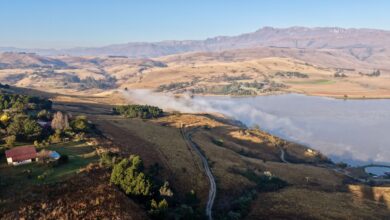
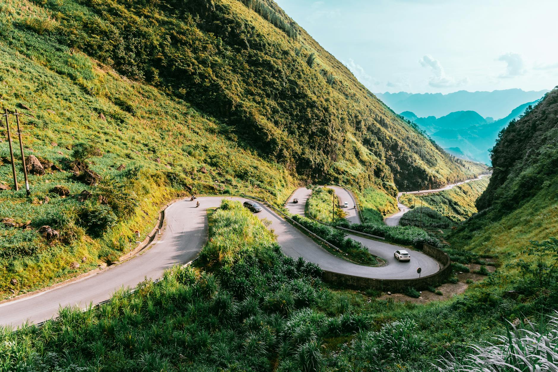
Ha Giang province sits at the very top of Vietnam, pressed against the Chinese border, and the loop traces a circular route through its most dramatic terrain. The standard circuit runs through Dong Van, Meo Vac, and back through Yen Minh, passing through the Dong Van Karst Plateau Geopark – a UNESCO-designated landscape of jagged limestone formations, deep river gorges, and villages that look largely unchanged from a century ago. The road itself is part of the experience: narrow, winding, and at certain passes genuinely vertiginous.
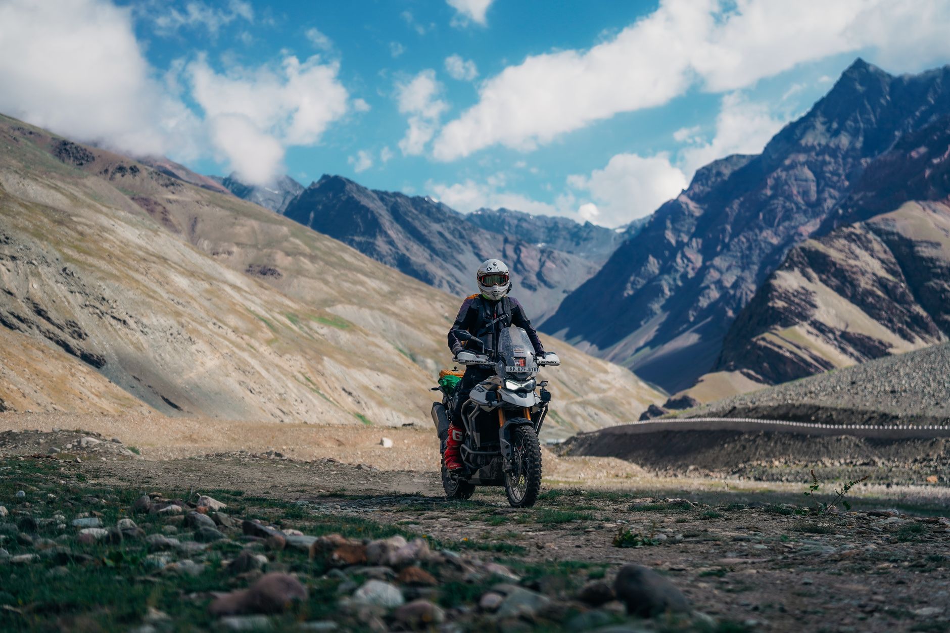
Most travelers rent semi-automatic motorbikes in Ha Giang city, the provincial capital and logical starting point. The full loop takes a minimum of three days, though four or five is more typical for anyone who wants to stop, explore, and actually absorb what they’re riding through. Guided options exist, with local drivers available for hire, which has made the route accessible to people with limited riding experience. A growing number of travelers – including those who have never operated a motorbike – are completing the loop on the back of a “Easy Rider” style guide bike.
Accommodation along the route has expanded quickly. Homestays in Dong Van, Meo Vac, and along the Ma Pi Leng Pass corridor now range from basic family guesthouses to small boutique operations catering to travelers who want comfort without sacrificing location. The infrastructure is still thin enough to feel adventurous, but reliable enough that the loop no longer requires serious trip preparation to attempt.
Why Sapa Lost Ground
Sapa’s problems are largely the product of its own success. The town was developed heavily over the past decade, with large resort hotels and cable car access to Fansipan – Vietnam’s highest peak – bringing mass tourism infrastructure that fundamentally changed the feel of the place. The trekking routes that made it famous are now heavily trafficked, and the surrounding villages have adapted their economies around tour groups rather than authentic daily life.
None of that makes Sapa without merit. The scenery around Muong Hoa Valley remains genuinely beautiful, and the food in town has improved considerably. But for a certain type of traveler – the one who came to Vietnam looking for raw terrain and minimal crowds – Sapa now delivers neither reliably. Ha Giang does both, at least for now.
The Ma Pi Leng Factor
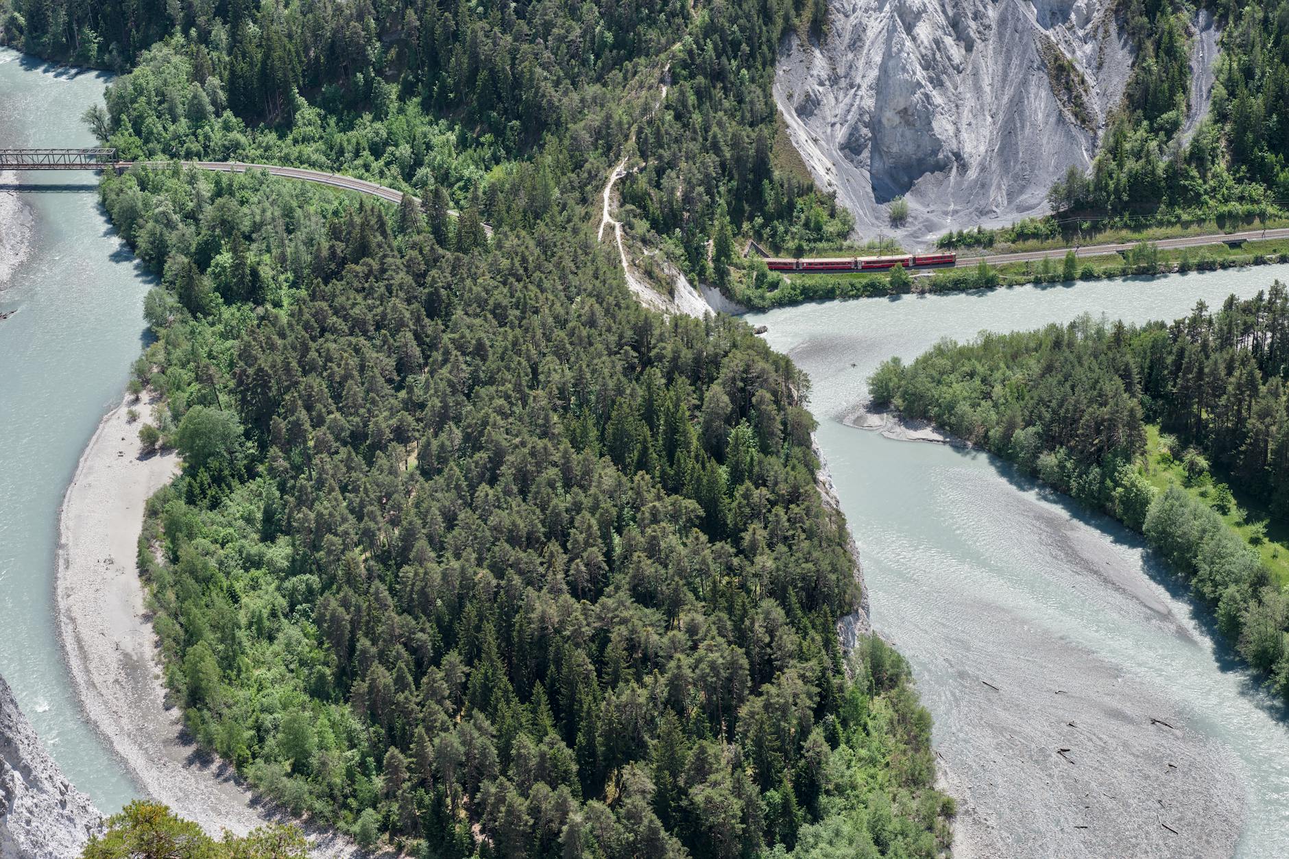
Ask anyone who has ridden the loop what they remember most, and the answer is almost always Ma Pi Leng Pass. The 20-kilometer stretch above the Nho Que River gorge is frequently described as one of the most dramatic roads in Southeast Asia, and it’s a description that holds up. The road cuts into sheer cliff face, dropping hundreds of meters into a turquoise river below, with no barriers on the outer edge for long stretches. It is not a road for the faint of heart, and that is precisely the point.
The visual contrast between the limestone karst above and the river gorge below creates a landscape that doesn’t resemble anything else in mainland Southeast Asia. Photographs circulating on travel platforms have made the pass instantly recognizable, and the image alone has become a pull factor drawing riders who want to experience it in person rather than through a screen.
The ethnic minority communities along the route – primarily Hmong, Tay, and Lo Lo peoples – add a cultural dimension that differentiates Ha Giang from other Vietnam adventure destinations. The Sunday market at Dong Van draws locals from surrounding villages and remains, for now, more oriented toward community commerce than tourist spectacle. Whether that changes as visitor numbers climb is a question the region hasn’t had to answer yet.
The loop’s growing reputation has created the familiar tension between discovery and preservation. Local authorities in Ha Giang have begun investing in road improvements and tourist facilities, which brings comfort but gradually smooths the roughness that made the route appealing in the first place. Travelers arriving now are catching the loop at what might be its sweet spot – known enough to be navigable independently, not yet crowded enough to feel managed. That window tends to close faster than anyone expects, and Ha Giang’s window is already narrowing at the edges.
For travelers who have already done the Sapa circuit and felt the disappointment of finding a destination that peaked before they arrived, Ha Giang answers the question of where Vietnam’s northern adventure scene actually lives right now. The road is real, the scenery is real, and the challenge is real. The harder question is how long all three stay that way once the word is fully out – and the word, at this point, very much is.
Frequently Asked Questions
How long does it take to ride the Ha Giang Loop?
Most travelers complete the loop in three to five days, starting and ending in Ha Giang city. Four days is the most common choice for a balance of riding and exploration.
Do I need motorbike experience to attempt the Ha Giang Loop?
Not necessarily. Guided “Easy Rider” options allow travelers to ride as passengers with experienced local drivers, making the route accessible even without prior riding experience.