
The Route That Sapa’s Crowds Never Reach
Sapa gets the Instagram posts, the guided tours, and the organized trekking companies. Ha Giang, tucked into Vietnam’s far northern edge against the Chinese border, gets the motorcycles, the silence, and the riders who come back talking about it for years.
What the Ha Giang Loop Actually Is
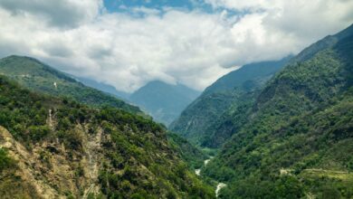
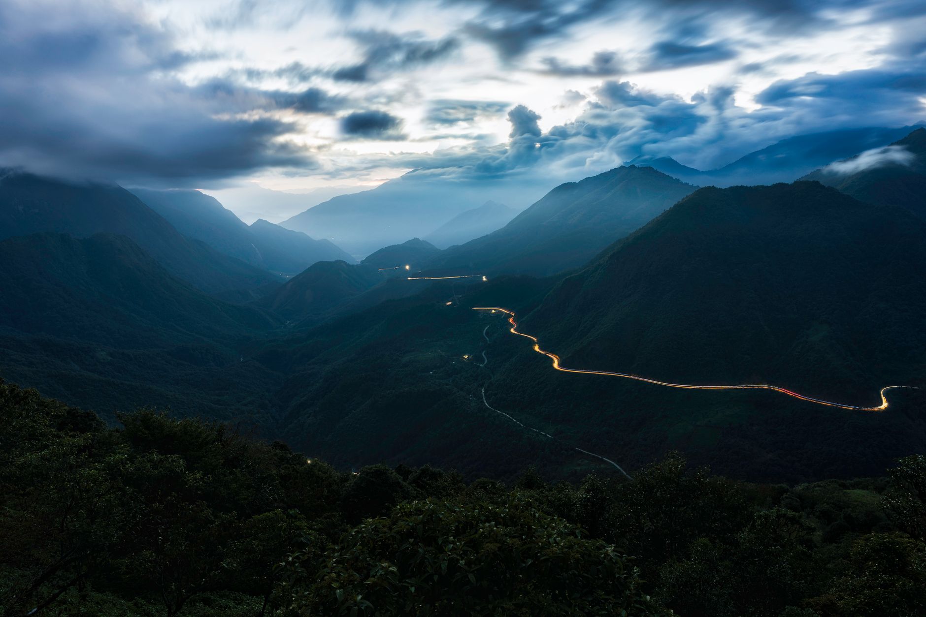
The loop covers roughly 350 kilometers through Ha Giang province, winding through Dong Van Karst Plateau Geopark – a UNESCO-recognized landscape of limestone karst formations, deep river gorges, and mountain passes that regularly top 1,500 meters. The road connects a series of small towns: Dong Van, Meo Vac, Yen Minh, and back through Quan Ba with its famous twin-peaked “fairy mountains.” The circuit typically takes three to four days to complete properly, though some riders stretch it to five or six to account for detours, weather, and the inevitable temptation to stop constantly.
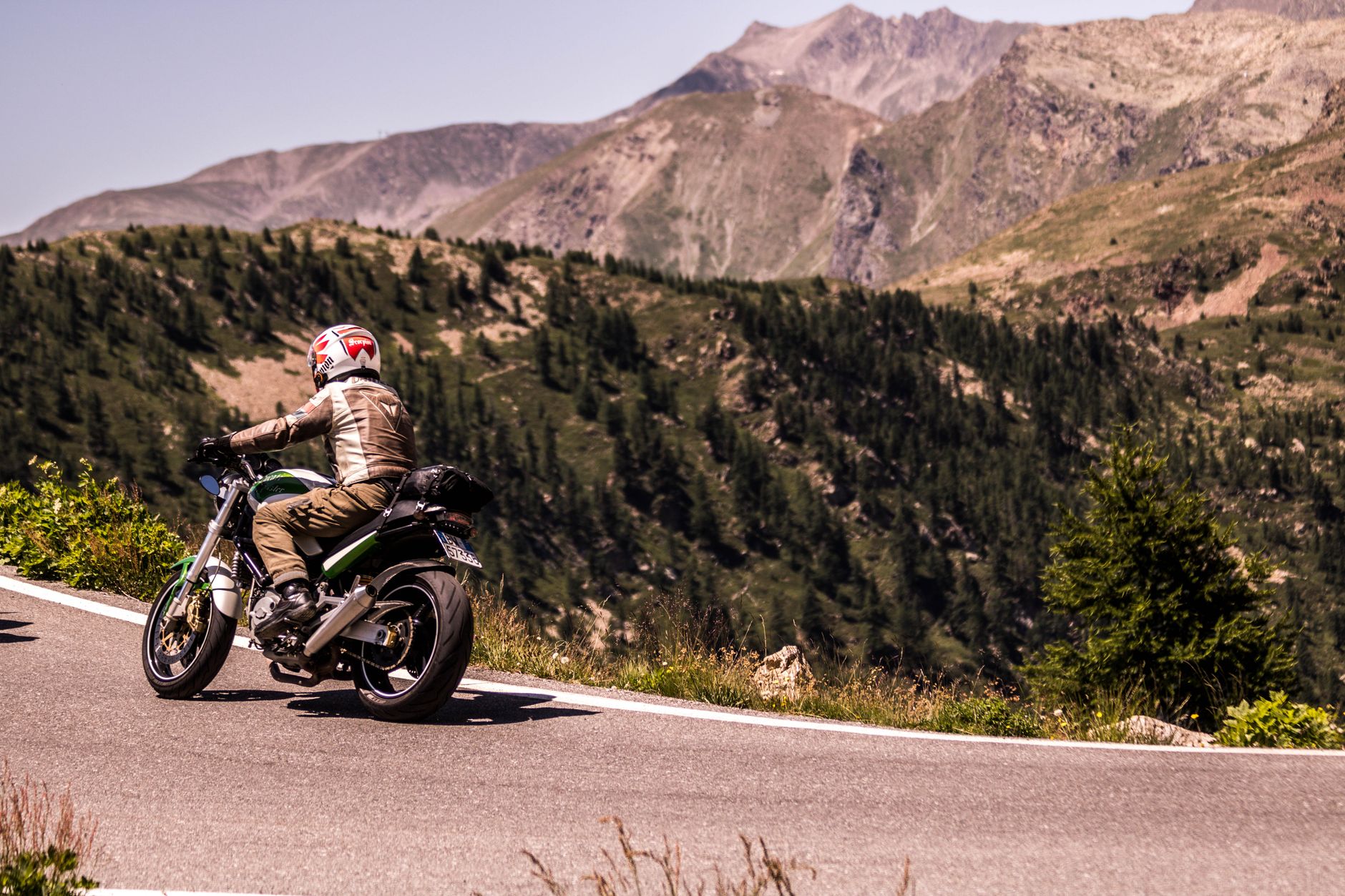
What separates this loop from the Sapa experience is the format itself. Sapa is built around trekking between villages on foot, often with a guide, with homestays organized in advance through guesthouses in town. Ha Giang is built around movement – specifically, motorcycle movement. You rent a semi-automatic Honda Win or a small automatic bike in Ha Giang city, load your bag onto the rack, and navigate yourself. The roads demand attention: single lanes carved into cliff faces, hairpin turns above thousand-meter drops, sections of crumbling asphalt that wet season turns genuinely treacherous.
The Ma Pi Leng Pass stands as the loop’s most-discussed stretch, a roughly 20-kilometer section that traverses the cliff edge above the Nho Que River gorge. On clear days, the turquoise water hundreds of meters below looks almost artificial, a color that seems too vivid for the grey limestone walls surrounding it. The pass has its own roadside viewpoints now, small concrete platforms where Vietnamese families on weekend trips stop to photograph each other, but the scale of the gorge absorbs the small crowds without losing anything.
The ethnic minority communities throughout the region – primarily H’mong, Tay, Lo Lo, and Dao peoples – maintain a visible cultural presence that feels substantially less stage-managed than the village tourism around Sapa. Weekly markets in Dong Van and Meo Vac draw locals from surrounding hills for commerce rather than performance. The Dong Van old quarter, with its preserved French colonial architecture and ancient H’mong stone houses, operates as a living town where travelers happen to pass through rather than a destination built around their arrival.
The Logistics Reality for First-Time Riders
Getting to Ha Giang city from Hanoi takes four to five hours by bus or sleeper van, with multiple operators running overnight services that arrive in the early morning. From there, bike rentals run between roughly 100,000 and 200,000 Vietnamese dong per day depending on the bike type and the rental shop. Many guesthouses in Ha Giang city have their own rental fleets and can provide paper maps, suggested daily routes broken into manageable distances, and basic mechanical advice. The loop is fully self-navigable using offline maps downloaded to a phone, though riders without any prior experience on manual or semi-automatic bikes should practice in town before committing to mountain passes.
Accommodation along the route has grown considerably without becoming overbuilt. Most towns on the loop – Yen Minh, Dong Van, Meo Vac – have guesthouses ranging from family-run homestays charging a few dollars a night to newer budget hotels with hot water and reliable wifi. Pre-booking is rarely necessary outside of Vietnamese public holidays, when domestic tourism surges and rooms in Dong Van especially can become scarce. The road infrastructure has also improved in recent years, which is a double-edged development: sections that were once adventure riding are now smooth pavement, though the core scenic passes remain narrow and demanding enough to keep casual traffic minimal.
Fuel stops deserve planning. Petrol stations are sparse in the more remote stretches, and some are small roadside operations rather than proper pumps. Carrying a small emergency fuel container is standard practice among experienced riders, particularly on the longer stretches between Meo Vac and Yen Minh. Local guesthouses along the way are often willing to sell fuel from jerry cans if a rider arrives running low, the informal infrastructure that makes the loop function for travelers who haven’t memorized every detail in advance.
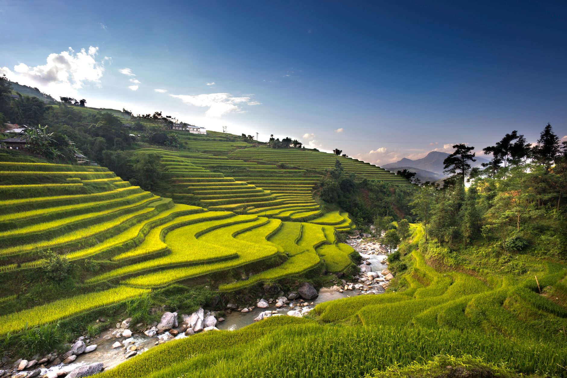
Weather timing matters more here than in most of Vietnam’s tourist regions. The buckwheat flower season in October and November transforms the hillside terraces into a reddish-pink patchwork that draws considerable attention from domestic travelers and photographers. The rice harvest period slightly earlier produces the golden terraced fields that have become synonymous with northern Vietnam’s landscape photography. The winter months bring cold fog to the higher passes – rideable, but requiring proper layers that many tropical-climate travelers underestimate. Rainy season from May through August brings spectacular green scenery and seriously degraded road conditions in equal measure.
A growing number of travelers are combining the loop with longer northern Vietnam itineraries that include Ba Be National Park to the east or crossing into the less-visited stretches of Cao Bang province. The border proximity also adds an element of administrative awareness – foreign travelers are required to carry their passport at all times in Ha Giang province due to the sensitive border zone designation, and some roads near the Chinese frontier require permits that a Ha Giang city guesthouse can typically arrange within a few hours.
Why the Comparison to Sapa Keeps Coming Up
Sapa and Ha Giang represent two different answers to the same question about how to experience Vietnam’s mountainous north. Sapa has accessibility, infrastructure, a well-worn tourist path, and scenery that genuinely delivers. Ha Giang has all of those things too, but adds the physical engagement of the ride itself – the loop isn’t just a way to get between sights, it is the experience. Riders don’t visit the Nho Que River gorge and then go back to a hotel. They cross it, descend into it, and then climb back out the other side on a road that requires both hands and full attention.
The question of how long Ha Giang can hold onto its current character is genuinely open. Infrastructure upgrades continue, domestic tourism to the region grows every year, and the loop now appears on enough international travel lists that first-time solo motorcycle riders are making it their introduction to Southeast Asia adventure riding. Some longtime visitors argue it already crossed a threshold around 2018 or 2019, that the discovery phase ended when you stopped being the only foreigner in the Meo Vac guesthouse. Others counter that the road itself – physical, unforgiving, impossible to experience from a tour bus – is its own protection against the kind of mass tourism that has reshaped Sapa. Both arguments are probably right, just about different parts of the same route.