Where the Pamir Mountains Meet the Edge of the Map
The Wakhan Corridor is one of those places that sounds almost fictional – a narrow finger of land stretching eastward through the Pamir Mountains, sandwiched between Afghanistan to the south and Tajikistan’s Gorno-Badakhshan Autonomous Region to the north. For most of the 20th century, Cold War politics and Soviet border restrictions kept it sealed from outside visitors. Even after Tajikistan’s independence in 1991, the corridor remained difficult to access, requiring special permits, days of overland travel on roads that barely deserved the name, and a tolerance for genuine uncertainty. That has been changing, slowly and unevenly, as Tajikistan’s government has begun treating adventure tourism as a viable economic priority.
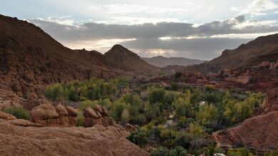
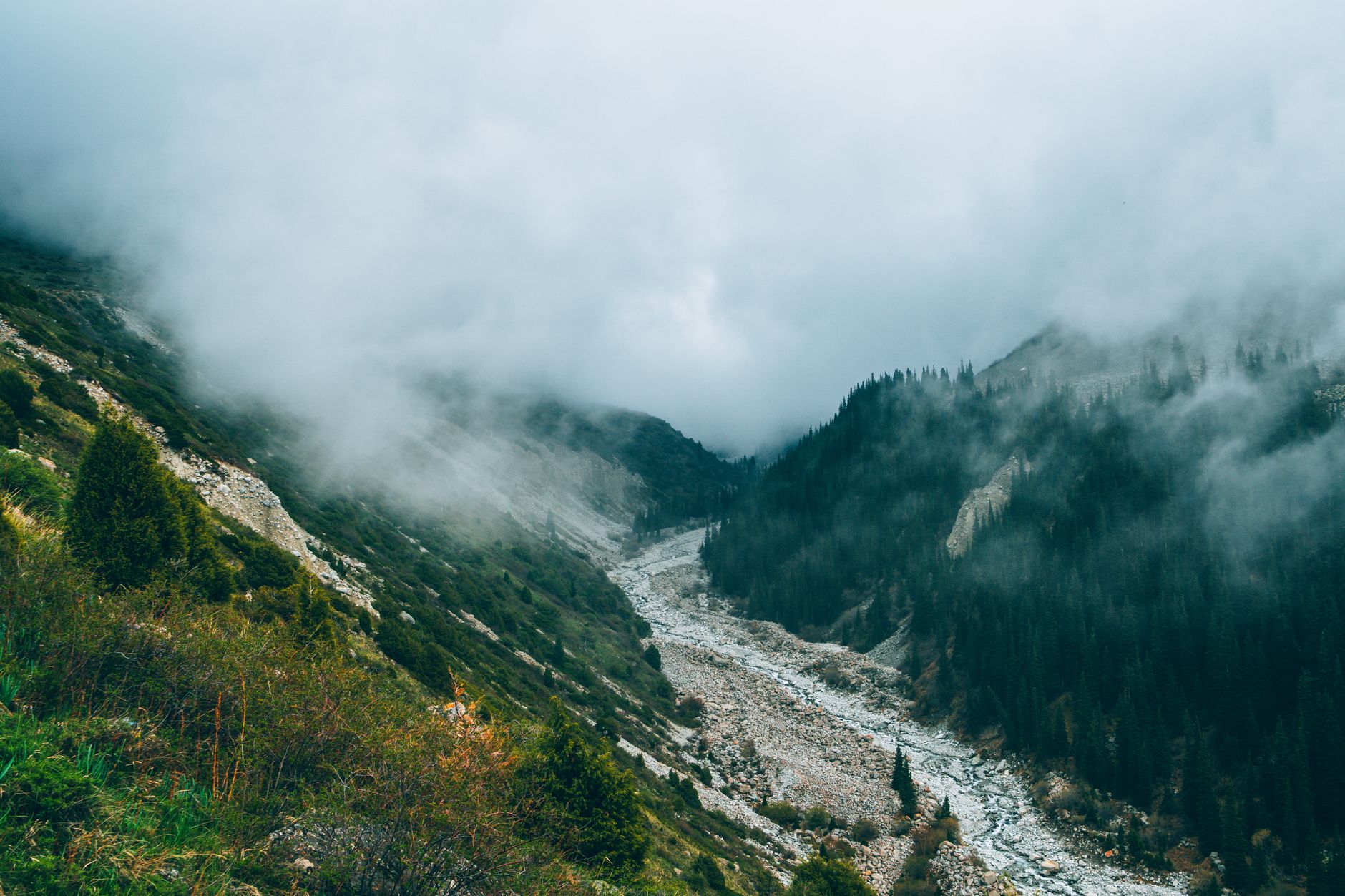
The corridor runs roughly 350 kilometers along the Panj River, which forms the natural border with Afghanistan. On clear days, travelers standing on the Tajik side can watch Afghan Wakhi herders moving their livestock across the opposite bank. The landscape is staggering in the most literal sense – jagged peaks above 6,000 meters, high-altitude pastures, and villages so remote that some communities still rely on traditional methods of communication that predate the telephone. For a growing number of travelers who have already ticked off Nepal’s Annapurna Circuit or the classic trekking routes of Kyrgyzstan, the Wakhan represents something rarer: a place where the infrastructure has not yet caught up with the scenery.
Getting there is still the first serious obstacle.
The Logistics of Reaching Somewhere This Remote
Most travelers enter the Wakhan from Khorog, the capital of Gorno-Badakhshan, which itself requires either a domestic flight from Dushanbe – when available and weather permits – or a two-day drive along the Pamir Highway. From Khorog, the road east toward the corridor passes through Ishkashim, a small border town that serves as the practical gateway. A GBAO permit, which covers the entire Gorno-Badakhshan region, is required for all foreign visitors and can be arranged when applying for a standard Tajik visa. The process has been streamlined significantly over the past several years, and Tajikistan now offers an e-visa system that includes the GBAO permit as an add-on. The paperwork is no longer the deterrent it once was.
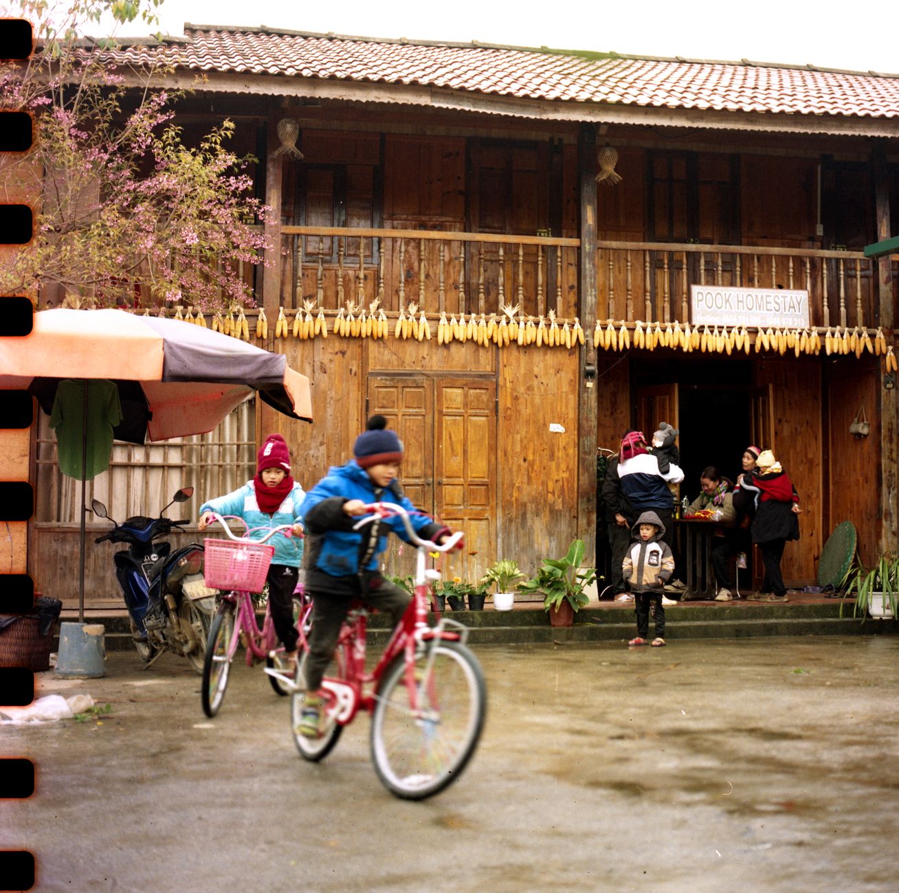
Accommodation inside the corridor runs almost entirely on homestays. Local Wakhi families in villages like Langar, Yamg, and Zong have been converting spare rooms into basic guesthouses, a shift encouraged loosely by regional tourism organizations and NGOs focused on community development. These are not boutique experiences – expect shared bathrooms, traditional bread baked in clay ovens, and sleeping arrangements that reflect the household rather than a hotel standard. What they offer instead is direct contact with a culture that has had limited exposure to mass tourism. Hosts often speak Wakhi and Tajik, with limited Russian and very occasional English, so a basic phrasebook or a local guide becomes genuinely useful rather than optional.
Guides and transport are best arranged in Khorog or through specialized tour operators based in Dushanbe. A small number of companies have built focused expertise in Pamir and Wakhan itineraries, offering everything from fully supported multi-week treks to self-drive 4×4 routes with logistics support. Independent travel is possible for experienced trekkers, but the combination of altitude, border proximity, and limited mobile coverage makes a local contact essential – not as a luxury, but as a safety baseline.
What Travelers Actually Find When They Arrive
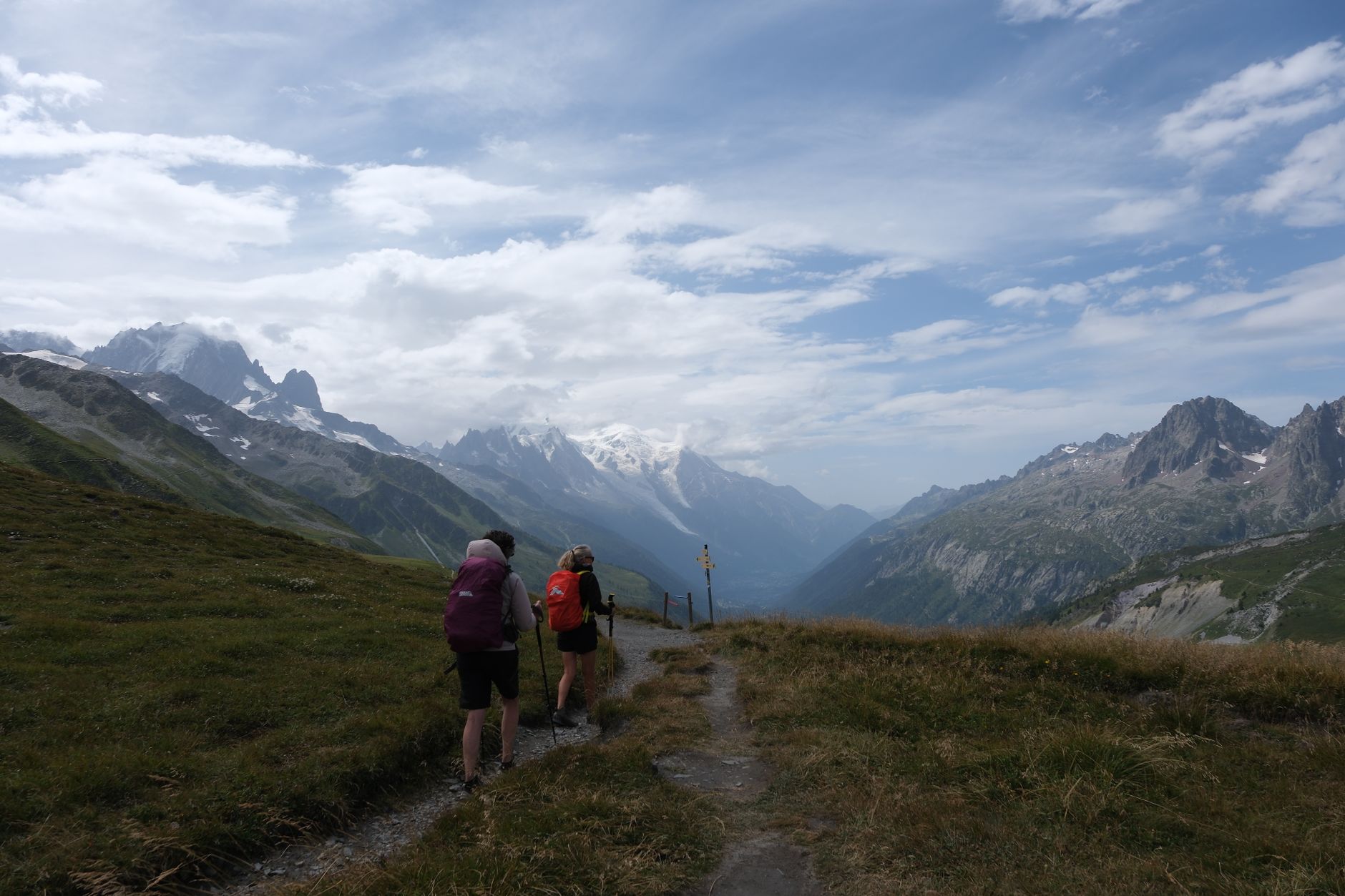
The corridor’s main draw is the trekking. Routes along the Wakhan Valley floor are relatively accessible, following the river and connecting villages with paths that Wakhi communities have walked for centuries. The more demanding options head north into the Little Pamir and Big Pamir ranges, where multi-day treks reach passes above 4,500 meters and the only signs of other travelers are occasional footprints in the snow. The Marco Polo sheep, a massive-horned wild sheep named after the explorer who reportedly described them in the 13th century, can be spotted at higher elevations – though their numbers and the ethics of wildlife tourism in this zone are subjects that serious travelers should research before arrival.
Beyond trekking, the corridor holds a remarkable density of historical sites relative to its sparse population. Yamchun Fortress, a crumbling structure that dates back over a thousand years, sits on a cliff above the valley with views straight into Afghanistan. The Bibi Fatima hot springs nearby have been a pilgrimage site for local women for generations. Petroglyphs carved into valley boulders document pastoral life going back thousands of years. This is not a destination that requires a traveler to choose between physical adventure and cultural depth – the two are woven together in the landscape itself.
Wildlife, archaeology, and mountain scenery in isolation would be enough to justify the journey. What makes the Wakhan genuinely unusual is the sense that this particular window of accessibility may not stay this wide forever. Regional politics involving Afghanistan, Chinese border proximity at the corridor’s eastern tip, and the general unpredictability of Central Asian governance all factor into how freely travelers can move here in any given season. Those who have gone in recent years consistently describe it as one of the few places left where the travel itself still feels like a discovery rather than a transaction.
Timing, Preparation, and the Honest Difficulty of Getting Here
The corridor is accessible primarily between June and September. Snow closes the high passes well before October, and spring snowmelt makes many valley roads impassable into late May. July and August offer the most stable conditions and the most light, though they also bring the highest concentration of the small number of travelers who make it here each year. Anyone arriving with the expectation that this remoteness guarantees solitude should understand: on the most popular section of the valley road near Ishkashim, you may encounter a dozen other travelers in a single week. That is still extraordinarily few by any conventional tourism standard, but it signals that word has spread among a specific community of adventure travelers who monitor these kinds of corridors carefully.
Physical preparation matters more here than on many Silk Road routes. Altitudes above 3,000 meters are the norm once you move past the valley floor, and some trekking objectives push significantly higher. Acute mountain sickness is a real risk, and the nearest medical facilities with any serious capacity are in Khorog – hours away on roads that test even good 4×4 vehicles. Travel insurance that specifically covers high-altitude evacuation is not optional. Carrying a personal first-aid kit calibrated for altitude-related conditions, including medication for altitude sickness, is standard practice among travelers who have spent time in the Pamirs.
The Wakhan Corridor will not become the next over-loved trekking destination quickly – its geography and logistics prevent that almost by design. But the combination of a functional e-visa system, growing homestay infrastructure, and a new generation of specialized tour operators means the friction of getting here has dropped considerably from what it was even five years ago. The question is not whether to go, but whether you have the tolerance for the kind of travel where the road itself is part of the point – and where a wrong turn near an international border is a genuine inconvenience rather than a scenic detour.