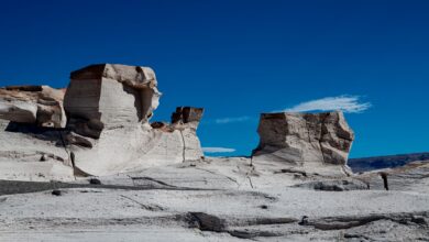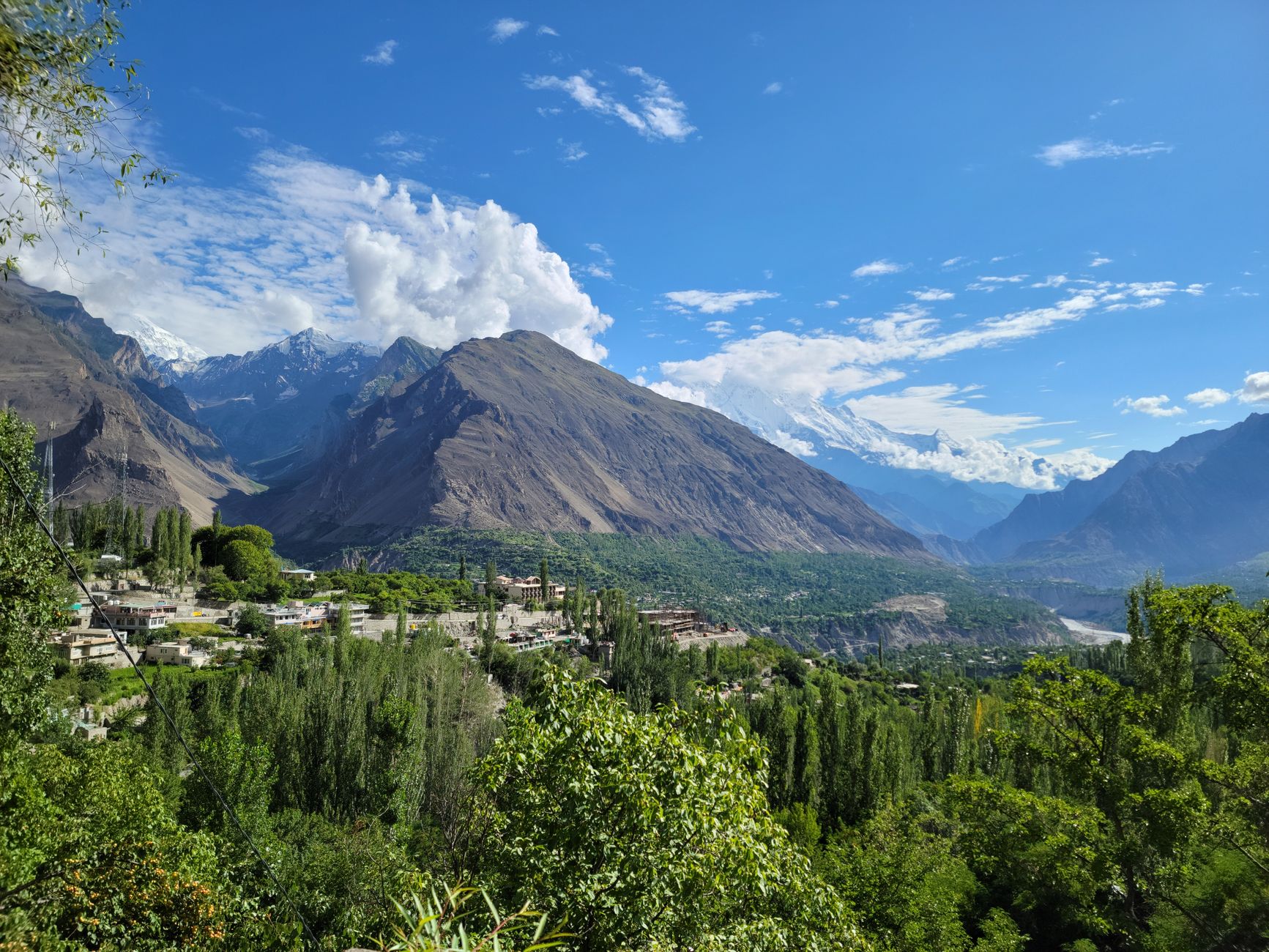
Few valleys in Asia carry the geographic drama of Hunza. Ringed by five of the world’s seventeen 8,000-meter peaks, cut through by rivers that look like ground turquoise, and connected to the outside world by a single road carved into vertical cliff faces, this stretch of northern Pakistan has spent decades rewarding the travelers willing to reach it.
The Road That Changed Everything – And Its Limits
The Karakoram Highway runs roughly 1,300 kilometers from Islamabad to the Chinese border at Khunjerab Pass, threading through terrain that took engineers over two decades to conquer. For many visitors, this road is both the entry point and the main attraction – a mountain drive that passes glaciers, crumbling forts, and apricot orchards before depositing travelers in Karimabad, Hunza’s central town. The highway brought tourism. It also concentrated it.
What the road cannot access is where Hunza gets genuinely interesting. The side valleys branching off the main corridor – Naltar, Hispar, Chapursan, Shimshal – require either multi-hour jeep rides on unpaved tracks or extended trekking approaches. These corridors see a fraction of the visitors who pass through Karimabad, despite offering scenery and cultural encounters that the highway towns simply cannot replicate. Shimshal alone sits at roughly 3,100 meters and remains a full day’s drive from Passu on a road that only opened in 2003 after the community spent years building it themselves without government support.
The trekking infrastructure across these side valleys ranges from basic to nonexistent, which is partly why they draw serious trekkers and partly why casual visitors skip them. Porters and guides from local communities are available in most areas, and the cost remains low by international standards. What travelers do need is time – not the three-day Karimabad stopover common among KKH road-trippers, but weeks. The valleys reward slow movement.
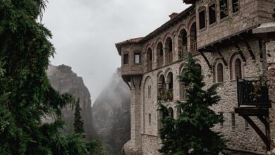
Local guesthouses in villages like Shimshal, Minapin, and Hoper provide accommodation that ranges from simple cot-and-meal arrangements to more polished family-run lodges. The quality has improved steadily over the past decade as word spread through trekking communities, but this is not Switzerland. Travelers who need reliable hot water and consistent electricity should recalibrate expectations before booking.
Where the Serious Trekking Actually Happens
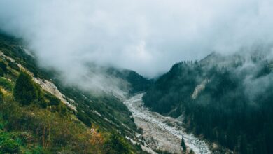
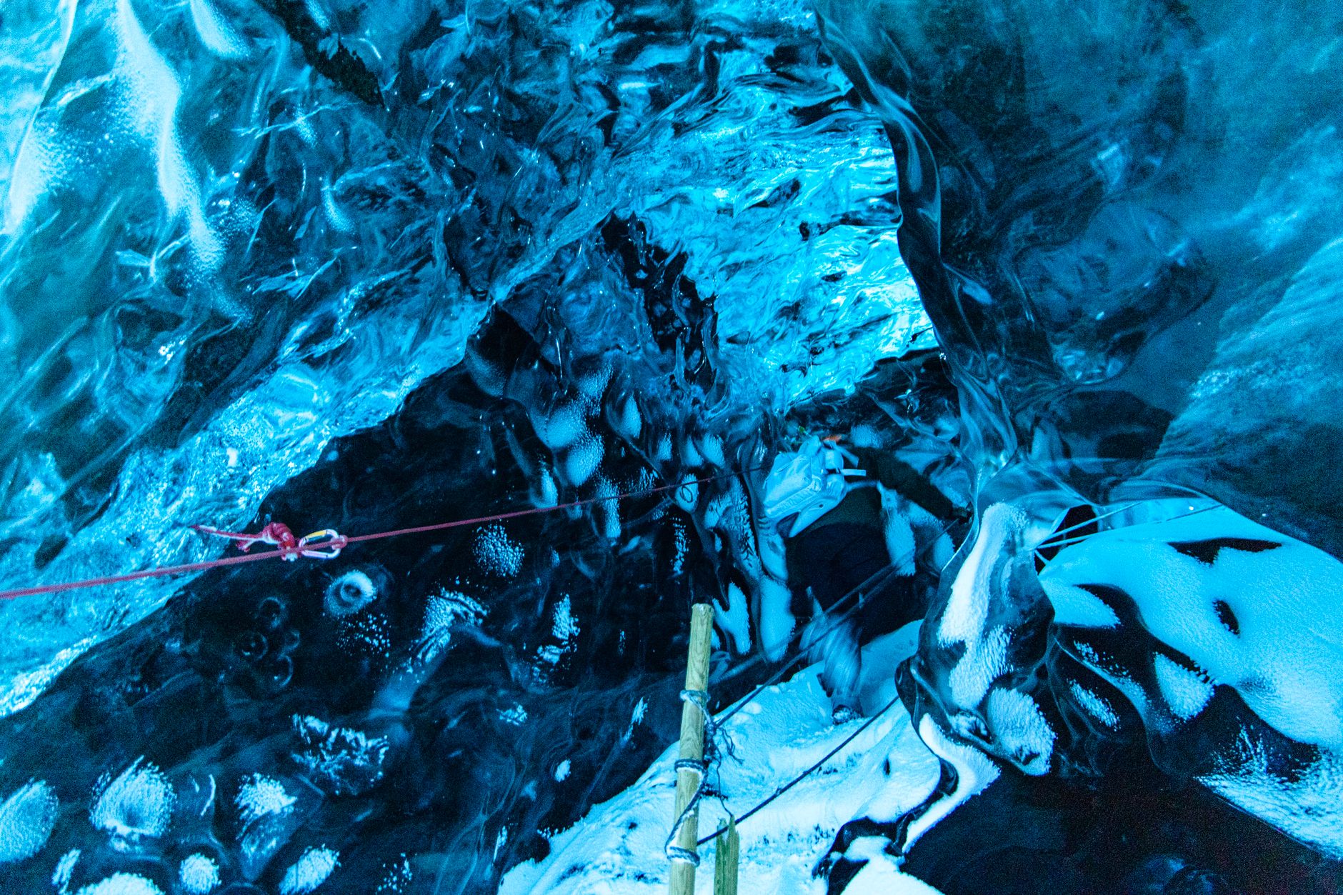
The Hispar-Biafo glacier traverse connects two of the longest glaciers outside the polar regions, running roughly 130 kilometers across ice fields that reach elevations above 5,000 meters at Snow Lake. It is a technical route requiring crampons, glacier travel experience, and guides who know how the ice moves seasonally. Most parties take 10 to 14 days. The reward is a landscape so remote that the nearest permanent settlement might be three or four days away in any direction.
Naltar Valley sits closer to Gilgit than to Hunza proper, but most trekkers approach it as part of a wider northern Pakistan itinerary. At lower elevations it holds pine forests and a trio of colored lakes – blue, green, and red – that photograph almost impossibly well. Higher up, the terrain opens into alpine meadows used as summer grazing grounds by nomadic herders, and the passes connecting Naltar to neighboring valleys offer routes that rarely see foreign visitors. Pakistan’s national ski resort operates in Naltar at roughly 3,000 meters, though the skiing infrastructure is modest and the season unpredictable.
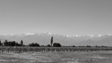
Chapursan Valley pushes northwest toward Afghanistan and the Wakhan Corridor, following the Chapursan River to the village of Zoodkhun near the border. The population here identifies as Wakhi, a distinct ethnolinguistic group spread across Pakistan, Afghanistan, Tajikistan, and China, and the cultural experience of walking through their villages carries a weight that standard tourist circuits rarely offer. The landscape is drier and more austere than Hunza’s lower valleys, with less of the orchard greenery that makes Karimabad photographs famous – but the scale of the surrounding peaks is even more confrontational.
Rakaposhi Base Camp is the most accessible serious trek in the region, reachable in two days from Minapin village with a guide and basic fitness. The peak itself stands at 7,788 meters and dominates the valley in a way that feels almost architectural – a single white pyramid visible from the highway for over 100 kilometers. The base camp route does not require glacier experience or technical equipment, making it a reasonable introduction to high-altitude trekking for visitors who want something more substantial than a day hike but are not ready for a multi-week expedition.
Permits for most of these areas are manageable compared to the bureaucratic complexity of trekking in Nepal or Bhutan. Many routes require only standard trekking permits obtainable in Gilgit or Islamabad, though restricted zones near the Afghanistan and Chinese borders require additional clearances that can take several days to process. Trekking agencies based in Gilgit handle the paperwork for most international visitors, and several have built strong reputations among the adventure travel community over the past decade.
Timing, Logistics, and the Question of Safety Perception
The trekking season runs from June through September, with July and August offering the most reliable weather at higher elevations. Passes that sit above 4,500 meters remain snow-covered into late June most years, and the glaciers become more crevassed and unstable in late summer heat. Many trekkers target late June to mid-July for the best combination of snow stability and clear skies. Monsoon weather affecting the rest of Pakistan reaches Hunza in a diluted form – the region sits in a rain shadow – but afternoon storms are common from late July onward and should be factored into any high-altitude plan.
Western travel advisories have historically flagged Gilgit-Baltistan with broad caution notices that do not always distinguish between the region’s actual trekking corridors and the security concerns relevant to other parts of Pakistan. Many experienced trekkers who have visited multiple times describe the northern valleys as among the safest rural environments they have traveled in, with communities that have built their economy around welcoming visitors. The gap between perception and ground-level reality is wide enough that it has become a recurring topic in adventure travel writing – and closing that gap may be the single factor most likely to determine whether Hunza’s side valleys remain quiet or follow the trajectory of Nepal’s trekking routes toward genuine overcrowding.